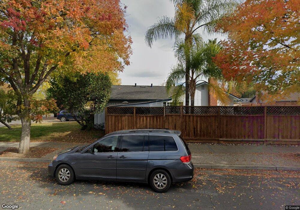
1066 Robin Way Sunnyvale, CA 94087
Estimated Value: $2,412,000 - $3,110,000
3
Beds
2
Baths
1,168
Sq Ft
$2,322/Sq Ft
Est. Value
About This Home
This home is located at 1066 Robin Way, Sunnyvale, CA 94087 and is currently estimated at $2,712,163, approximately $2,322 per square foot. 1066 Robin Way is a home located in Santa Clara County with nearby schools including Cherry Chase Elementary School, Sunnyvale Middle School, and Homestead High School.
Ownership History
Date
Name
Owned For
Owner Type
Purchase Details
Closed on
Apr 28, 2016
Sold by
Linford Gary A and Linford Nancy Sue
Bought by
The Linford Family Trust and Linford Nancy S
Current Estimated Value
Purchase Details
Closed on
Aug 30, 2002
Sold by
Linford Gary A and Linford Nancy Sue
Bought by
Linford Gary A and Linford Nancy S
Home Financials for this Owner
Home Financials are based on the most recent Mortgage that was taken out on this home.
Original Mortgage
$220,000
Interest Rate
6.29%
Create a Home Valuation Report for This Property
The Home Valuation Report is an in-depth analysis detailing your home's value as well as a comparison with similar homes in the area
Home Values in the Area
Average Home Value in this Area
Purchase History
| Date | Buyer | Sale Price | Title Company |
|---|---|---|---|
| The Linford Family Trust | -- | None Available | |
| Linford Gary A | -- | North American Title Company |
Source: Public Records
Mortgage History
| Date | Status | Borrower | Loan Amount |
|---|---|---|---|
| Closed | Linford Gary A | $220,000 |
Source: Public Records
Tax History Compared to Growth
Tax History
| Year | Tax Paid | Tax Assessment Tax Assessment Total Assessment is a certain percentage of the fair market value that is determined by local assessors to be the total taxable value of land and additions on the property. | Land | Improvement |
|---|---|---|---|---|
| 2025 | $5,056 | $428,912 | $185,455 | $243,457 |
| 2024 | $5,056 | $420,503 | $181,819 | $238,684 |
| 2023 | $5,009 | $412,258 | $178,254 | $234,004 |
| 2022 | $4,926 | $404,175 | $174,759 | $229,416 |
| 2021 | $4,877 | $396,251 | $171,333 | $224,918 |
| 2020 | $4,817 | $392,189 | $169,577 | $222,612 |
| 2019 | $4,711 | $384,500 | $166,252 | $218,248 |
| 2018 | $4,632 | $376,962 | $162,993 | $213,969 |
| 2017 | $4,655 | $369,572 | $159,798 | $209,774 |
| 2016 | $4,392 | $362,326 | $156,665 | $205,661 |
| 2015 | $4,414 | $356,884 | $154,312 | $202,572 |
| 2014 | $4,330 | $349,894 | $151,290 | $198,604 |
Source: Public Records
Map
Nearby Homes
- 1201 Heatherstone Way
- 1072 Syracuse Dr
- 1244 Elderberry Dr
- 960 Heatherstone Ave
- 857 Peach Ave
- 1033 Crestview Dr Unit 308
- 839 Springfield Terrace
- 1021 Golf Ct
- 1402 Oak Ave
- 1243 E Fremont Terrace
- 1624 Clay Dr
- 1260 Grant Rd
- 1686 Parkhills Ave
- 1402 Bedford Ave
- 3363 Grant Rd
- 1127 Viscaino Ave
- 725 Winstead Terrace
- 1315 Bright Oaks Ct
- 1262 Riesling Terrace
- 1416 S Mary Ave
- 1062 Robin Way
- 1070 Robin Way
- 1058 Robin Way
- 1067 S Bernardo Ave
- 1063 S Bernardo Ave
- 1074 Robin Way
- 1071 S Bernardo Ave Unit 4
- 1054 Robin Way
- 1050 Robin Way
- 1059 S Bernardo Ave
- 1057 Robin Way
- 1053 Robin Way
- 1061 Robin Way
- 1075 S Bernardo Ave
- 1055 S Bernardo Ave
- 1049 Robin Way
- 1065 Robin Way
- 1045 Robin Way
- 1207 Oxford Ave
- 1042 Robin Way