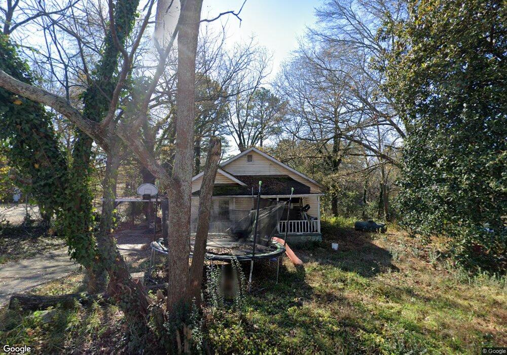
1066 Travis Dr Gainesville, GA 30501
Southeast Gainesville NeighborhoodEstimated Value: $156,000 - $255,000
3
Beds
1
Bath
966
Sq Ft
$200/Sq Ft
Est. Value
About This Home
This home is located at 1066 Travis Dr, Gainesville, GA 30501 and is currently estimated at $193,090, approximately $199 per square foot. 1066 Travis Dr is a home located in Hall County with nearby schools including East Hall Middle School, East Hall High School, and Jubilee Christian Academy.
Ownership History
Date
Name
Owned For
Owner Type
Purchase Details
Closed on
Sep 16, 2005
Sold by
Fairview Baptist Church
Bought by
Mitchell Michael E
Current Estimated Value
Home Financials for this Owner
Home Financials are based on the most recent Mortgage that was taken out on this home.
Original Mortgage
$36,421
Interest Rate
5.77%
Mortgage Type
New Conventional
Purchase Details
Closed on
Feb 20, 1998
Sold by
Richards Mary Louise
Bought by
Parker Truman
Create a Home Valuation Report for This Property
The Home Valuation Report is an in-depth analysis detailing your home's value as well as a comparison with similar homes in the area
Home Values in the Area
Average Home Value in this Area
Purchase History
| Date | Buyer | Sale Price | Title Company |
|---|---|---|---|
| Mitchell Michael E | $25,000 | -- | |
| Parker Truman | $35,000 | -- |
Source: Public Records
Mortgage History
| Date | Status | Borrower | Loan Amount |
|---|---|---|---|
| Closed | Mitchell Michael E | $36,421 |
Source: Public Records
Tax History
| Year | Tax Paid | Tax Assessment Tax Assessment Total Assessment is a certain percentage of the fair market value that is determined by local assessors to be the total taxable value of land and additions on the property. | Land | Improvement |
|---|---|---|---|---|
| 2025 | $1,180 | $46,424 | $16,320 | $30,104 |
| 2024 | $1,134 | $42,944 | $16,000 | $26,944 |
| 2023 | $1,150 | $41,784 | $16,000 | $25,784 |
| 2022 | $795 | $27,984 | $7,000 | $20,984 |
| 2021 | $747 | $25,624 | $8,000 | $17,624 |
| 2020 | $730 | $24,264 | $6,000 | $18,264 |
| 2019 | $688 | $22,520 | $6,000 | $16,520 |
| 2018 | $636 | $19,920 | $6,000 | $13,920 |
| 2017 | $596 | $18,720 | $6,000 | $12,720 |
| 2016 | $470 | $14,545 | $5,080 | $9,465 |
| 2015 | $473 | $14,545 | $5,080 | $9,465 |
| 2014 | $473 | $14,545 | $5,080 | $9,465 |
Source: Public Records
Map
Nearby Homes
- 1089 Travis Dr
- 1041 Jordan Dr
- 1238 Mill St SE
- 1049 Desota St SE
- 1183 E Ridge Rd
- 1203 E Ridge Rd
- 1857 Floyd Rd
- 2180 Sunrise Dr
- 4127 Millstone Park Ln
- 4127 Millstone Park Ln Unit 7A
- 1629 March Dr
- 00 Jesse Jewell Pkwy
- 2264 Floyd Rd
- 1828 Tulip Dr
- 432 Fair St
- 2180 Deville Ln
- 1304 Vine St NE
- 2460 Floyd Rd
- 1340 Vine St NE
- 37 Spring St
Your Personal Tour Guide
Ask me questions while you tour the home.