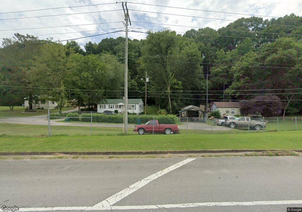
1066 W Main St Waverly, TN 37185
Estimated Value: $105,066 - $206,000
--
Bed
1
Bath
1,008
Sq Ft
$147/Sq Ft
Est. Value
About This Home
This home is located at 1066 W Main St, Waverly, TN 37185 and is currently estimated at $148,017, approximately $146 per square foot. 1066 W Main St is a home located in Humphreys County.
Ownership History
Date
Name
Owned For
Owner Type
Purchase Details
Closed on
Jul 23, 2025
Sold by
Story Kenneth Shane and Story Craig Allen
Bought by
Story Kenneth Shane and Story Craig Allen
Current Estimated Value
Purchase Details
Closed on
Oct 19, 2016
Sold by
Story Cooper Pamela G
Bought by
Story Cooper Pamela G
Purchase Details
Closed on
Aug 31, 1998
Bought by
Story Pamela G
Purchase Details
Closed on
Oct 30, 1989
Bought by
Story Kenneth R and Story Pamela G
Purchase Details
Closed on
Dec 5, 1988
Bought by
Brown Hugh and Brown Margaret A
Purchase Details
Closed on
Sep 3, 1981
Bought by
Bone William H
Purchase Details
Closed on
Jan 1, 1981
Purchase Details
Closed on
Mar 8, 1960
Create a Home Valuation Report for This Property
The Home Valuation Report is an in-depth analysis detailing your home's value as well as a comparison with similar homes in the area
Home Values in the Area
Average Home Value in this Area
Purchase History
| Date | Buyer | Sale Price | Title Company |
|---|---|---|---|
| Story Kenneth Shane | -- | None Listed On Document | |
| Story Kenneth Shane | -- | None Listed On Document | |
| Story Cooper Pamela G | -- | -- | |
| Cooper Pamela G | -- | -- | |
| Story Pamela G | -- | -- | |
| Story Kenneth R | $15,900 | -- | |
| Brown Hugh | $11,200 | -- | |
| Bone William H | -- | -- | |
| -- | $6,000 | -- | |
| -- | -- | -- |
Source: Public Records
Tax History Compared to Growth
Tax History
| Year | Tax Paid | Tax Assessment Tax Assessment Total Assessment is a certain percentage of the fair market value that is determined by local assessors to be the total taxable value of land and additions on the property. | Land | Improvement |
|---|---|---|---|---|
| 2024 | $385 | $12,625 | $4,750 | $7,875 |
| 2023 | $385 | $12,625 | $4,750 | $7,875 |
| 2022 | $316 | $9,850 | $4,875 | $4,975 |
| 2021 | $316 | $7,375 | $4,875 | $2,500 |
| 2020 | $316 | $9,850 | $4,875 | $4,975 |
| 2019 | $298 | $9,050 | $4,825 | $4,225 |
| 2018 | $298 | $9,050 | $4,825 | $4,225 |
| 2017 | $298 | $9,050 | $4,825 | $4,225 |
| 2016 | $297 | $8,350 | $4,825 | $3,525 |
| 2015 | $297 | $8,350 | $4,825 | $3,525 |
| 2014 | $297 | $8,343 | $0 | $0 |
Source: Public Records
Map
Nearby Homes
- 200 Brown Town Rd
- 106 Dupont Ave
- 201 Park Cir
- 1 Main St W
- 107 W End Dr
- 2151 Bakerville Rd
- 202 Bowen Heights Dr
- 206 Collier Ave
- 437 W Main St
- 191 Forks River Rd
- 3158 W Trace Creek Rd
- 565 Landfill Rd
- 221 Carroll Ave
- 314 N Maple Ave
- 312 N Maple Ave
- 0 Mill St
- Lot #18 Foxwood Dr
- 0 Bear Hollow Dr Unit RTC3002566
- 0 Bear Hollow Dr Unit 24022394
- 0 Bear Hollow Dr Unit 24022393
- 1068 W Main St
- 1064 W Main St
- 1062 W Main St
- 1108 Highway 70 W
- 1116 Highway 70 W
- 1102 Highway 70 W
- 1100 Highway 70 W
- 1056 W Main St
- 1110 Highway 70 W
- 1114 Highway 70 W
- 1034 W Main St
- 0 Brown Town Rd
- 1202 Highway 70 W
- 1207 Highway 70 W
- 1025 W Main St
- 1018 W Main St
- 1020 W Main St
- 117 Stevens Rd
- 139 Brown Town Rd
- 141 Stevens Rd