10660 566th Ave Prescott, WI 54021
Estimated Value: $314,000 - $680,000
--
Bed
--
Bath
--
Sq Ft
4.07
Acres
About This Home
This home is located at 10660 566th Ave, Prescott, WI 54021 and is currently estimated at $546,231. 10660 566th Ave is a home with nearby schools including Malone Elementary School, Prescott Middle School, and Prescott High School.
Ownership History
Date
Name
Owned For
Owner Type
Purchase Details
Closed on
Jul 10, 2019
Sold by
Aspen Creek Llc
Bought by
Dressel Brandon and Dressel Kristina
Current Estimated Value
Home Financials for this Owner
Home Financials are based on the most recent Mortgage that was taken out on this home.
Original Mortgage
$388,450
Outstanding Balance
$340,875
Interest Rate
3.9%
Mortgage Type
Adjustable Rate Mortgage/ARM
Estimated Equity
$205,356
Create a Home Valuation Report for This Property
The Home Valuation Report is an in-depth analysis detailing your home's value as well as a comparison with similar homes in the area
Home Values in the Area
Average Home Value in this Area
Purchase History
| Date | Buyer | Sale Price | Title Company |
|---|---|---|---|
| Dressel Brandon | -- | Pierce County Abstract & Tit |
Source: Public Records
Mortgage History
| Date | Status | Borrower | Loan Amount |
|---|---|---|---|
| Open | Dressel Brandon | $388,450 |
Source: Public Records
Tax History Compared to Growth
Tax History
| Year | Tax Paid | Tax Assessment Tax Assessment Total Assessment is a certain percentage of the fair market value that is determined by local assessors to be the total taxable value of land and additions on the property. | Land | Improvement |
|---|---|---|---|---|
| 2024 | $8,451 | $553,500 | $66,300 | $487,200 |
| 2023 | $7,828 | $553,500 | $66,300 | $487,200 |
| 2022 | $6,549 | $537,700 | $66,300 | $471,400 |
| 2021 | $6,163 | $318,700 | $71,300 | $247,400 |
| 2020 | $6,917 | $316,500 | $69,100 | $247,400 |
| 2019 | $1,438 | $69,100 | $69,100 | $0 |
| 2018 | $1,383 | $69,100 | $69,100 | $0 |
| 2017 | $1,438 | $69,100 | $69,100 | $0 |
| 2016 | $1,362 | $69,100 | $69,100 | $0 |
| 2015 | $1,366 | $69,100 | $69,100 | $0 |
| 2014 | $1,358 | $69,100 | $69,100 | $0 |
| 2013 | $1,269 | $69,100 | $69,100 | $0 |
Source: Public Records
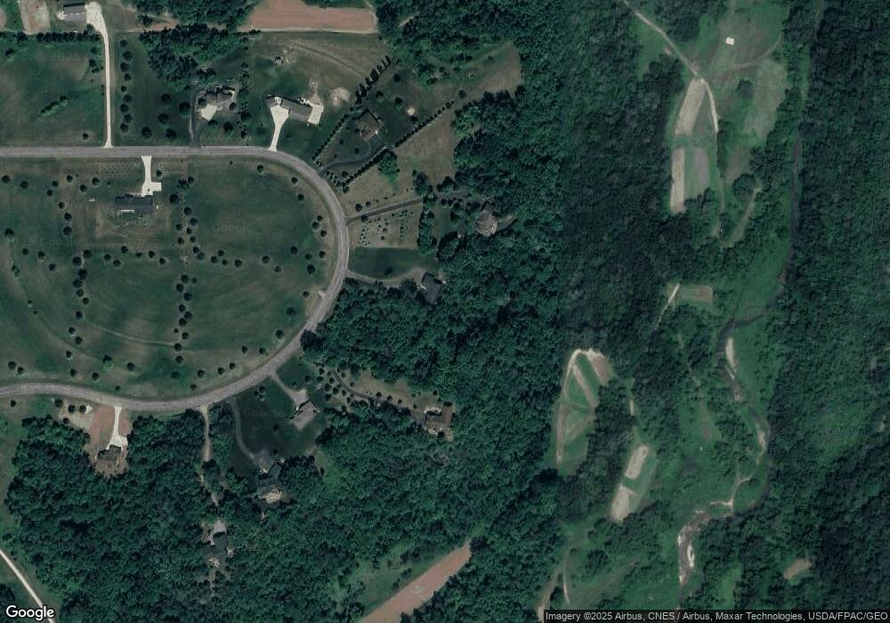
Map
Nearby Homes
- W10664 566th Ave
- xxxxx 566th Ave
- N5620 1090th St
- W10415 521st Ave
- N5449 County Rd E
- N5887 1110th St
- N4848 1110th St
- W10780 468th Ave
- W11011 470th Ave
- W11540 504th Ave
- N4387 1115th St
- W11980 565th Ave
- N5687 1210th St
- 490 Sea Wing Blvd
- 470 Sea Wing Blvd
- 2117 Pleasant Dr
- 452 Delta Queen Ave
- 2113 Pleasant Dr
- 2100 Pleasant Dr
- 2092 Pleasant Dr
- Lot 15 566th Ave
- W10656 566th Ave
- Lot 27 566th Ave
- 10656 566th Ave
- W10668 566th Ave
- LOt 44 566th Ave
- W10652 566th Ave
- Lot CSM 2 566th Ave
- Lot 11 566th Ave
- Lot 11 555th Ave
- Lot 13 566th Ave
- XXX 566th Ave
- W10686 566th Ave
- Lot 43 566th Ave
- 10A Outlot 566th Ave
- W10650 566th Ave
- W10695 566th Ave
- 10A 566th Ave
- W10644 566th Ave
- Lot 20 566th Ave