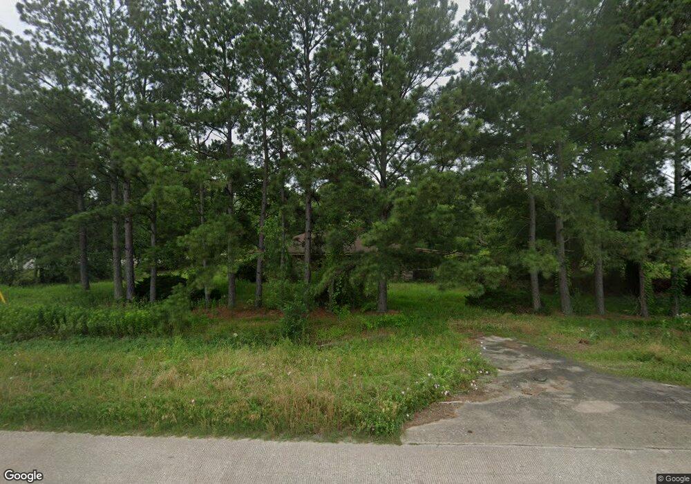
10660 Highway 242 Conroe, TX 77385
Estimated Value: $261,000
--
Bed
2
Baths
1,848
Sq Ft
$141/Sq Ft
Est. Value
About This Home
This home is located at 10660 Highway 242, Conroe, TX 77385 and is currently priced at $261,000, approximately $141 per square foot. 10660 Highway 242 is a home located in Montgomery County with nearby schools including Suchma Elementary School, Irons J High School, and Oak Ridge High School.
Ownership History
Date
Name
Owned For
Owner Type
Purchase Details
Closed on
Jul 2, 1996
Sold by
Hencey Dorothy M
Bought by
Kovar Charles R and Kovar Elizabeth J
Current Estimated Value
Home Financials for this Owner
Home Financials are based on the most recent Mortgage that was taken out on this home.
Original Mortgage
$58,500
Outstanding Balance
$4,147
Interest Rate
8.02%
Purchase Details
Closed on
Sep 1, 1982
Sold by
Hencey Clarence C
Bought by
Kovar Charles R and Kovar Elizabeth
Create a Home Valuation Report for This Property
The Home Valuation Report is an in-depth analysis detailing your home's value as well as a comparison with similar homes in the area
Home Values in the Area
Average Home Value in this Area
Purchase History
| Date | Buyer | Sale Price | Title Company |
|---|---|---|---|
| Kovar Charles R | -- | -- | |
| Kovar Charles R | -- | -- |
Source: Public Records
Mortgage History
| Date | Status | Borrower | Loan Amount |
|---|---|---|---|
| Open | Kovar Charles R | $58,500 |
Source: Public Records
Tax History Compared to Growth
Tax History
| Year | Tax Paid | Tax Assessment Tax Assessment Total Assessment is a certain percentage of the fair market value that is determined by local assessors to be the total taxable value of land and additions on the property. | Land | Improvement |
|---|---|---|---|---|
| 2025 | $12,683 | $800,414 | $793,824 | $6,590 |
| 2024 | $12,693 | $800,440 | $793,820 | $6,620 |
| 2023 | $12,693 | $800,440 | $793,820 | $6,620 |
| 2022 | $13,939 | $800,440 | $793,820 | $6,620 |
| 2021 | $11,100 | $600,390 | $595,370 | $5,020 |
| 2020 | $6,750 | $348,300 | $347,300 | $1,000 |
| 2019 | $7,016 | $348,300 | $347,300 | $1,000 |
| 2018 | $7,016 | $348,300 | $347,300 | $1,000 |
| 2017 | $4,774 | $238,460 | $198,460 | $40,000 |
| 2016 | $2,202 | $110,000 | $68,960 | $41,040 |
| 2015 | $3,632 | $86,630 | $8,930 | $77,700 |
| 2014 | $3,632 | $179,000 | $8,930 | $170,070 |
Source: Public Records
Map
Nearby Homes
- 10831 Highway 242
- 10831 Texas 242
- 10527 Highway 242
- 0 Texas 242
- 10867 Highway 242
- 10458 Lake Palmetto Dr
- 10414 Roseate Skimmer
- 10407 Roseate Skimmer
- 10402 Southern Hawker
- 0 Spindle Oaks
- 15859 Needham Rd
- 9976 Cassowary Dr
- 9915 Valance Way
- 17023 Sweet Bay Ct
- 2506 River Ridge
- 2511 River Ridge
- 16373 Olive Sparrow Dr
- 9972 Western Ridge Way
- 16916 Tableland Trail
- 2519 River Ridge
- 000 Lexington Dr
- 16973 White Birch Ln
- 10661 Highway 242
- LOT 121 White Birch
- 16974 Lexington Dr
- LOT 120 White Birch
- 16979 Lexington Dr
- 10528 Highway 242
- 16982 Lexington Dr
- 00001 White Birch Ln
- 16972 White Birch Ln
- 16981 Lexington Dr
- 16985 White Birch Ln
- 16976 White Birch Ln
- 16986 Lexington Dr
- 10814 Highway 242
- 16965 Concord Dr
- 16980 White Birch Ln
- 16775 Needham Rd
- Lot 132 Lexington
