10661 440th Ave Waterville, MN 56096
Estimated Value: $304,000
2
Beds
1
Bath
1,053
Sq Ft
$289/Sq Ft
Est. Value
About This Home
This home is located at 10661 440th Ave, Waterville, MN 56096 and is currently estimated at $304,000, approximately $288 per square foot. 10661 440th Ave is a home located in Le Sueur County with nearby schools including Waterville Elementary School, Morristown Elementary School, and Waterville-Elysian-Morristown Junior High School.
Create a Home Valuation Report for This Property
The Home Valuation Report is an in-depth analysis detailing your home's value as well as a comparison with similar homes in the area
Home Values in the Area
Average Home Value in this Area
Tax History Compared to Growth
Tax History
| Year | Tax Paid | Tax Assessment Tax Assessment Total Assessment is a certain percentage of the fair market value that is determined by local assessors to be the total taxable value of land and additions on the property. | Land | Improvement |
|---|---|---|---|---|
| 2025 | $1,354 | $284,800 | $146,400 | $138,400 |
| 2024 | $1,294 | $279,700 | $146,400 | $133,300 |
| 2023 | $1,252 | $271,800 | $141,400 | $130,400 |
| 2022 | $1,022 | $252,200 | $133,400 | $118,800 |
| 2021 | $1,066 | $208,200 | $108,400 | $99,800 |
| 2020 | $1,078 | $208,200 | $108,400 | $99,800 |
| 2019 | $1,034 | $181,100 | $95,221 | $85,879 |
| 2018 | $1,019 | $165,600 | $94,253 | $71,347 |
| 2017 | $811 | $148,900 | $84,725 | $64,175 |
| 2016 | $826 | $143,400 | $80,130 | $63,270 |
| 2015 | $811 | $143,400 | $80,130 | $63,270 |
| 2014 | $687 | $143,400 | $80,130 | $63,270 |
| 2013 | $718 | $146,500 | $80,709 | $65,791 |
Source: Public Records
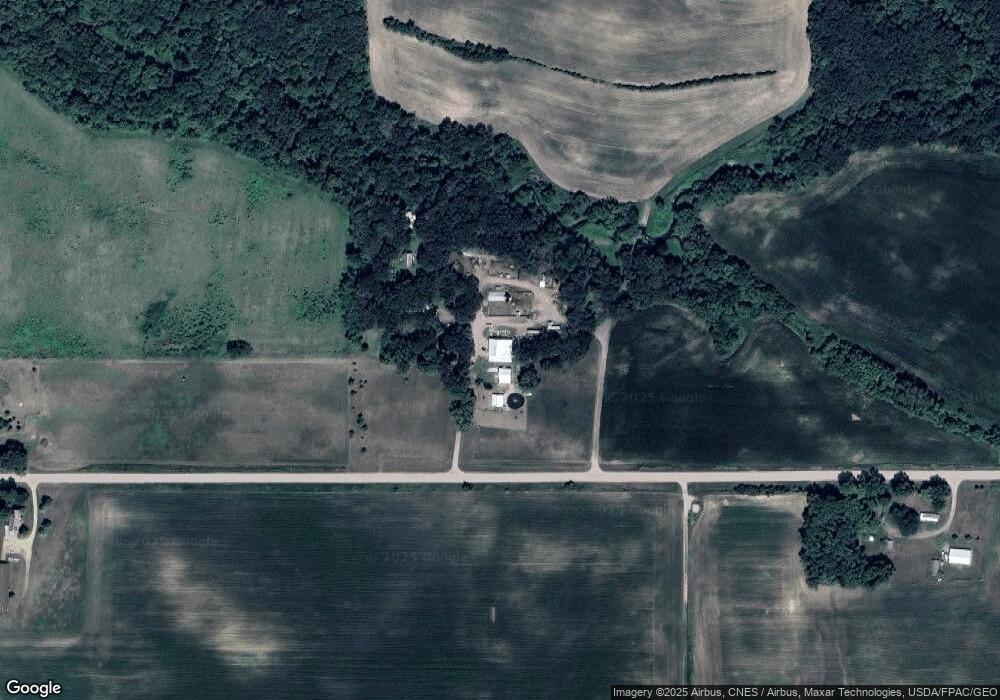
Map
Nearby Homes
- XXXX Southridge Ln
- 14340 Minnesota 60
- 14340 State Highway 60
- 212 2nd St S
- 114 Reed St S
- 130 1st St N
- 102 Buchannon St S
- 617 1st St N
- 705 1st St N
- 42156 120th St
- 730 1st St N
- Open Lot Browers St E
- 902 Marion St
- 921 Lillian St
- 13262 Sakatah Lake Rd
- TBD Kent Ave
- 810 N Shore Dr
- Tbd 160th St
- 425 W Franklin St
- 206 W Main St
- Parcel ID: 14 035 5800
- 11136 440th Ave
- 51548 Southridge Ln
- 10646 440th Ave
- 10515 440th Ave
- 51586 Southridge Ln
- 51570 Southridge Ln
- 51480 Southridge Ln
- 51480 Southridge Ln
- 51602 Southridge Ln
- 51500 Southridge Ln
- 51567 Southridge Ln
- 51611 Southridge Ln
- 51489 Southridge Ln
- 51489 Southridge Ln
- 51585 Southridge Ln
- 51348 State Highway 13
- 51302 State Highway 13
- 51250 State Highway 13
- 51308 State Highway 13