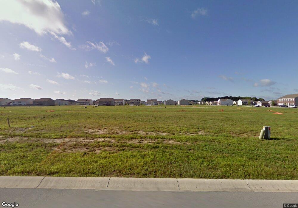
10663 Long Branch Dr Brownsburg, IN 46112
Estimated Value: $397,000 - $416,000
4
Beds
3
Baths
2,366
Sq Ft
$171/Sq Ft
Est. Value
About This Home
This home is located at 10663 Long Branch Dr, Brownsburg, IN 46112 and is currently estimated at $404,616, approximately $171 per square foot. 10663 Long Branch Dr is a home with nearby schools including Lincoln Elementary, Brownsburg East Middle School, and Brownsburg High School.
Ownership History
Date
Name
Owned For
Owner Type
Purchase Details
Closed on
Jun 27, 2014
Sold by
Nvr Inc
Bought by
Monday Keith B and Monday Charity C
Current Estimated Value
Home Financials for this Owner
Home Financials are based on the most recent Mortgage that was taken out on this home.
Original Mortgage
$146,197
Outstanding Balance
$111,149
Interest Rate
4.11%
Mortgage Type
New Conventional
Estimated Equity
$293,467
Purchase Details
Closed on
Mar 7, 2014
Sold by
Brc Realty Holdings Llc
Bought by
Nvr Inc
Create a Home Valuation Report for This Property
The Home Valuation Report is an in-depth analysis detailing your home's value as well as a comparison with similar homes in the area
Home Values in the Area
Average Home Value in this Area
Purchase History
| Date | Buyer | Sale Price | Title Company |
|---|---|---|---|
| Monday Keith B | -- | -- | |
| Nvr Inc | -- | -- |
Source: Public Records
Mortgage History
| Date | Status | Borrower | Loan Amount |
|---|---|---|---|
| Open | Monday Keith B | $146,197 |
Source: Public Records
Tax History Compared to Growth
Tax History
| Year | Tax Paid | Tax Assessment Tax Assessment Total Assessment is a certain percentage of the fair market value that is determined by local assessors to be the total taxable value of land and additions on the property. | Land | Improvement |
|---|---|---|---|---|
| 2024 | $3,846 | $384,600 | $72,000 | $312,600 |
| 2023 | $3,731 | $373,100 | $69,200 | $303,900 |
| 2022 | $3,629 | $354,000 | $65,300 | $288,700 |
| 2021 | $2,982 | $298,200 | $61,000 | $237,200 |
| 2020 | $2,782 | $278,200 | $61,000 | $217,200 |
| 2019 | $2,730 | $273,000 | $59,700 | $213,300 |
| 2018 | $2,586 | $258,600 | $59,700 | $198,900 |
| 2017 | $2,369 | $236,900 | $55,200 | $181,700 |
| 2016 | $2,313 | $231,300 | $55,200 | $176,100 |
| 2014 | $5 | $400 | $400 | $0 |
Source: Public Records
Map
Nearby Homes
- 10706 Broadlands Dr
- 6640 Wellspring Dr
- 10303 Memorial Knoll Dr
- 10105 Yosemite Ln
- 6642 Clearwood Dr
- 9873 Blue Ridge Way
- 10112 Split Rock Way
- 10535 Pine Valley Path
- 10358 River Park Way
- 8533 E County Road 750 N
- 6035 Bluecrest Dr
- Wembley Plan at Eagle Lakes - Paired Patio Homes Collection
- 10327 Gateway Dr
- 10398 Splendor Way
- 5886 Brookstone Dr
- 5813 Grandvista Dr
- 5834 Skyward Ln
- 5551 N Raceway Rd
- 5890 Courtyard Crescent
- 10553 Virginia Ave
- 10651 Long Branch Dr
- 10679 Long Branch Dr
- 10695 Long Branch Dr
- 10664 Haven Dr
- 10652 Haven Dr
- 6917 Eagle Crossing Blvd
- 6937 Eagle Crossing Blvd
- 10680 Haven Dr
- 10696 Haven Dr
- 10711 Long Branch Dr
- 10630 Haven Dr
- 7176 Eagle Rd
- 10712 Haven Dr
- 10729 Long Branch Dr
- 10665 Haven Dr
- 10653 Haven Dr
- 6936 Eagle Crossing Blvd
- 6918 Eagle Crossing Blvd
- 6904 Eagle Crossing Blvd
- 10728 Haven Dr
