10663 Webb Black Rd Coaling, AL 35453
Estimated Value: $77,000 - $203,000
--
Bed
--
Bath
1,102
Sq Ft
$119/Sq Ft
Est. Value
About This Home
This home is located at 10663 Webb Black Rd, Coaling, AL 35453 and is currently estimated at $131,082, approximately $118 per square foot. 10663 Webb Black Rd is a home located in Tuscaloosa County with nearby schools including Vance Elementary School, Brookwood Middle School, and Brookwood High School.
Ownership History
Date
Name
Owned For
Owner Type
Purchase Details
Closed on
Jul 16, 2019
Sold by
Burkhalter Debra S
Bought by
Hallman Chris and Hallman Lorie B
Current Estimated Value
Purchase Details
Closed on
Apr 25, 2012
Sold by
Snider Marine A
Bought by
Wyatt Leon D and Wyatt Barbara A
Purchase Details
Closed on
Apr 17, 2012
Sold by
Burkhalter Debra S
Bought by
Wyatt Leon D and Wyatt Barbara A
Purchase Details
Closed on
Feb 14, 2006
Sold by
Snider Marine A
Bought by
Burkhalter Debra S
Purchase Details
Closed on
Mar 24, 2005
Sold by
Snider Revice H
Bought by
Blackerby Tammy M and Blackerby Jeffrey S
Create a Home Valuation Report for This Property
The Home Valuation Report is an in-depth analysis detailing your home's value as well as a comparison with similar homes in the area
Home Values in the Area
Average Home Value in this Area
Purchase History
| Date | Buyer | Sale Price | Title Company |
|---|---|---|---|
| Hallman Chris | -- | -- | |
| Wyatt Leon D | $5,000 | -- | |
| Wyatt Leon D | $5,000 | -- | |
| Burkhalter Debra S | $45,000 | -- | |
| Blackerby Tammy M | $1,000 | -- |
Source: Public Records
Tax History Compared to Growth
Tax History
| Year | Tax Paid | Tax Assessment Tax Assessment Total Assessment is a certain percentage of the fair market value that is determined by local assessors to be the total taxable value of land and additions on the property. | Land | Improvement |
|---|---|---|---|---|
| 2024 | $292 | $22,040 | $10,800 | $11,240 |
| 2023 | $292 | $22,040 | $10,800 | $11,240 |
| 2022 | $292 | $22,040 | $10,800 | $11,240 |
| 2021 | $292 | $22,040 | $10,800 | $11,240 |
| 2020 | $209 | $8,110 | $3,430 | $4,680 |
| 2019 | $210 | $8,550 | $3,870 | $4,680 |
| 2018 | $210 | $8,550 | $3,870 | $4,680 |
| 2017 | $137 | $0 | $0 | $0 |
| 2016 | $137 | $0 | $0 | $0 |
| 2015 | $137 | $0 | $0 | $0 |
| 2014 | $137 | $8,110 | $3,870 | $4,240 |
Source: Public Records
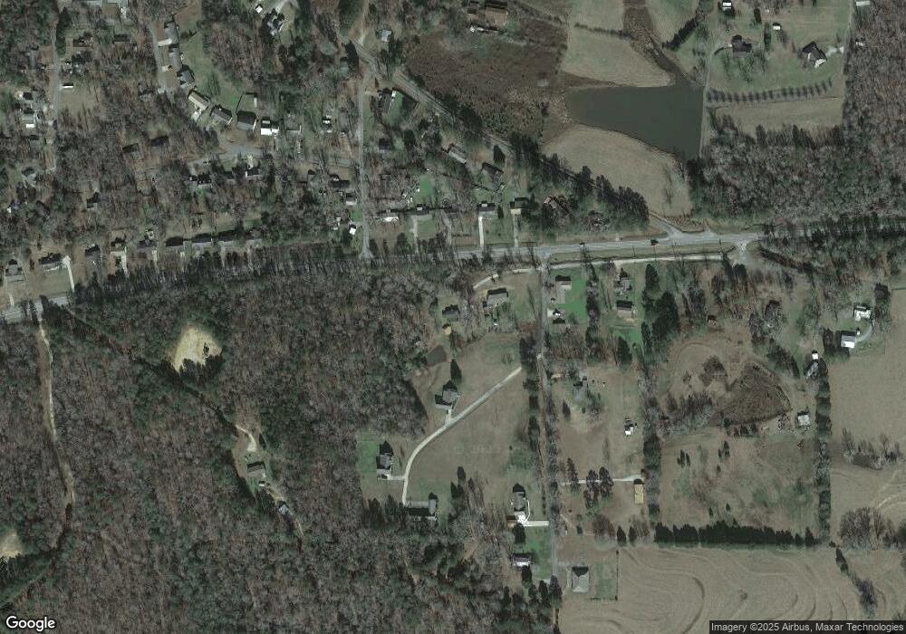
Map
Nearby Homes
- 14541 Keenes Mill Rd
- 10463 Beulah Lake Ln
- 10884 W Manor Dr
- 1 Brant Ward Rd
- 10799 Melrose Ln
- 00 Ashborough Dr
- 10452 N Davis Rd
- 0 N Davis Rd
- 14194 Chapel Park Rd
- 0 Mallard Trail
- 10802 Mallard Lake Ln
- 11762 Brant Ward Rd
- 0 Wire Rd
- 0 Unit 21420013
- 0 Station 32 Rd Unit 170891
- 00 Keenes Mill Rd
- 0 Keenes Mill Rd
- 16414 Highway 11 N
- 0 Hurricane Valley Rd Unit 171183
- 10464 Nicole St
- 14764 Ashlyn Dr
- 14724 Highway 11 N
- 14716 Highway 11 N
- 14734 Highway 11 N
- 14706 Highway 11 N Unit US
- 14765 Webb Black Rd
- 14742 Highway 11 N
- 10649 Hunnicutt Rd
- 10636 Hunnicutt Rd
- 14745 Keenes Mill Rd
- 10708 Webb Black Rd
- 14735 Keenes Mill Rd
- 14720 Ashlyn Dr
- 14657 Ole Oak Dr
- 14779 Highway 11 N
- 14721 Keenes Mill Rd
- 14655 Ole Oak Dr
- 14713 Ashlyn Dr
- 10731 Webb Black Rd
- 14648 Highway 11 N