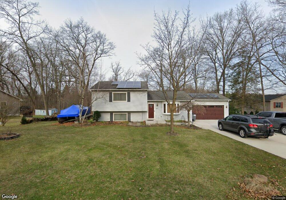
10666 Michael Blvd Pinckney, MI 48169
Estimated Value: $303,277 - $348,000
2
Beds
2
Baths
1,708
Sq Ft
$193/Sq Ft
Est. Value
About This Home
This home is located at 10666 Michael Blvd, Pinckney, MI 48169 and is currently estimated at $329,819, approximately $193 per square foot. 10666 Michael Blvd is a home located in Livingston County with nearby schools including Country Elementary School, Navigator School, and Pathfinder School.
Ownership History
Date
Name
Owned For
Owner Type
Purchase Details
Closed on
Jun 12, 2017
Sold by
Mcmillan Larry G and Mcmillan Jacqueline
Bought by
Mcmillan Larry G and Mcmillan Jacqueline L
Current Estimated Value
Purchase Details
Closed on
Mar 15, 1996
Sold by
Makushik Dennis
Bought by
Mcmillan Larry G
Home Financials for this Owner
Home Financials are based on the most recent Mortgage that was taken out on this home.
Original Mortgage
$109,250
Outstanding Balance
$4,425
Interest Rate
7.36%
Mortgage Type
New Conventional
Estimated Equity
$325,394
Create a Home Valuation Report for This Property
The Home Valuation Report is an in-depth analysis detailing your home's value as well as a comparison with similar homes in the area
Home Values in the Area
Average Home Value in this Area
Purchase History
| Date | Buyer | Sale Price | Title Company |
|---|---|---|---|
| Mcmillan Larry G | -- | None Available | |
| Mcmillan Larry G | $115,000 | -- |
Source: Public Records
Mortgage History
| Date | Status | Borrower | Loan Amount |
|---|---|---|---|
| Open | Mcmillan Larry G | $109,250 |
Source: Public Records
Tax History
| Year | Tax Paid | Tax Assessment Tax Assessment Total Assessment is a certain percentage of the fair market value that is determined by local assessors to be the total taxable value of land and additions on the property. | Land | Improvement |
|---|---|---|---|---|
| 2025 | $765 | $149,510 | $0 | $0 |
| 2024 | $743 | $141,840 | $0 | $0 |
| 2023 | $709 | $129,630 | $0 | $0 |
| 2022 | $1,386 | $104,320 | $0 | $0 |
| 2021 | $2,000 | $104,320 | $0 | $0 |
| 2020 | $1,970 | $101,570 | $0 | $0 |
| 2019 | $1,821 | $91,370 | $0 | $0 |
| 2018 | $1,798 | $79,460 | $0 | $0 |
| 2017 | $1,730 | $79,460 | $0 | $0 |
| 2016 | $1,662 | $75,600 | $0 | $0 |
| 2014 | $1,404 | $69,350 | $0 | $0 |
| 2012 | $1,404 | $54,100 | $0 | $0 |
Source: Public Records
Map
Nearby Homes
- 2705 Melvin Rd
- 10350 Half Moon Dr
- 9814 Tioga Trail Unit 120
- 2661 Signature Cir Unit 84
- 2655 Signature Cir Unit 83
- 9833 Rolling Greens Dr
- 3483 Windwheel Point Dr
- 2500 Whispering Pines Dr
- 3590 Habitat Trail Unit 25
- 3597 Habitat Trail Unit 27
- 10846 Colony Rd
- 00 Colony
- 3821 Langley Dr
- 11770 Woodview
- 11109 Wynns Rd
- 11637 Algonquin Dr
- 3450 Hooker Rd
- 11311 Dunlavy Ln
- 11834 Eriksen Dr
- 9410 Maple Run Ct Unit 6
- 10686 Michael Blvd
- 10499 Michael Blvd
- 1011 Michael Blvd
- 10634 Michael Blvd
- 10665 Michael Blvd
- 10685 Michael Blvd
- 10635 Michael Blvd
- 10716 Michael Blvd
- 2924 Harding St
- 10617 Michael Blvd
- 2923 Harding St
- 2915 Macomb St
- 10736 Michael Blvd
- 2936 Harding St
- 10588 Michael Blvd
- 2835 Macomb St
- 2923 Macomb St
- 2935 Harding St
- 2948 Harding St
- 10593 Michael Blvd
Your Personal Tour Guide
Ask me questions while you tour the home.