10668 Foster Driveway Rd Nevada City, CA 95959
Estimated Value: $614,971 - $698,000
3
Beds
2
Baths
1,414
Sq Ft
$462/Sq Ft
Est. Value
About This Home
This home is located at 10668 Foster Driveway Rd, Nevada City, CA 95959 and is currently estimated at $653,743, approximately $462 per square foot. 10668 Foster Driveway Rd is a home with nearby schools including Deer Creek Elementary School, Seven Hills Intermediate School, and Forest Charter School.
Ownership History
Date
Name
Owned For
Owner Type
Purchase Details
Closed on
Mar 23, 2022
Sold by
Foster Family Revocable Trust and Foster Michael
Bought by
Garcia Anthony Mark and Garcia Serena C
Current Estimated Value
Home Financials for this Owner
Home Financials are based on the most recent Mortgage that was taken out on this home.
Original Mortgage
$646,000
Outstanding Balance
$603,368
Interest Rate
3.89%
Mortgage Type
New Conventional
Estimated Equity
$50,375
Purchase Details
Closed on
Aug 11, 2011
Sold by
Foster Clarence H and Foster Alma J
Bought by
Foster Clarence H and Foster Alma J
Create a Home Valuation Report for This Property
The Home Valuation Report is an in-depth analysis detailing your home's value as well as a comparison with similar homes in the area
Home Values in the Area
Average Home Value in this Area
Purchase History
| Date | Buyer | Sale Price | Title Company |
|---|---|---|---|
| Garcia Anthony Mark | $680,000 | Placer Title | |
| Foster Clarence H | -- | None Available | |
| Foster Clarence H | -- | None Available |
Source: Public Records
Mortgage History
| Date | Status | Borrower | Loan Amount |
|---|---|---|---|
| Open | Garcia Anthony Mark | $646,000 |
Source: Public Records
Tax History Compared to Growth
Tax History
| Year | Tax Paid | Tax Assessment Tax Assessment Total Assessment is a certain percentage of the fair market value that is determined by local assessors to be the total taxable value of land and additions on the property. | Land | Improvement |
|---|---|---|---|---|
| 2025 | $8,480 | $651,984 | $134,232 | $517,752 |
| 2024 | $8,535 | $639,200 | $131,600 | $507,600 |
| 2023 | $8,535 | $639,200 | $131,600 | $507,600 |
| 2022 | $3,922 | $204,887 | $18,450 | $186,437 |
| 2021 | $3,837 | $200,871 | $18,089 | $182,782 |
| 2020 | $3,826 | $198,812 | $17,904 | $180,908 |
| 2019 | $3,775 | $194,914 | $17,553 | $177,361 |
| 2018 | $0 | $191,093 | $17,209 | $173,884 |
| 2017 | $3,681 | $187,348 | $16,872 | $170,476 |
| 2016 | $3,602 | $183,677 | $16,542 | $167,135 |
| 2015 | $3,568 | $180,920 | $16,294 | $164,626 |
| 2014 | $3,533 | $177,379 | $15,975 | $161,404 |
Source: Public Records
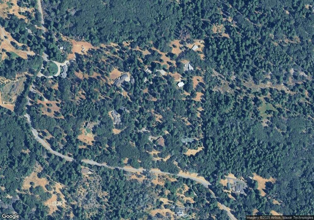
Map
Nearby Homes
- 11094 Cement Hill Rd
- 11356 Constitution Ct
- 12777 Daisy Blue Mine Rd
- 16934 Indian Flat Rd
- 708 W Broad St
- 140 Redbud Way
- 661 Chief Kelly Dr
- 660 Chief Kelly Dr
- 651 Chief Kelly Dr
- 631 Chief Kelly Dr
- 16970 Old Downieville Hwy
- 520 Lost Hill Ct
- 30115 N Bloomfield-Graniteville Rd
- 10265 Newtown Rd
- 327 Drummond St
- 500 Factory St
- 214 Mill St
- 210 Mill St
- 10402 Newtown Rd
- 421 Broad St
- 10666 Foster Driveway Rd
- 10588 Picton Dr
- 10588 Picton Dr
- 10688 Foster Driveway Rd
- 10589 Picton Dr
- 10589 Picton Dr
- 10832 Cement Hill Rd
- 10966 Cement Hill Rd
- 11210 Cement Hill Rd
- 11320 Cement Hill Rd
- 11222 Tower Hill Rd
- 11234 Tower Hill Rd
- 10975 Cement Hill Rd
- 11263 Cement Hill Rd
- 11325 Cement Hill Rd
- 11344 Tower Hill Rd
- 10696 Cement Hill Rd
- 11079 Cement Hill Rd
- 11373 Cement Hill Rd