1067 Elam Dr Lincolnton, GA 30817
Estimated Value: $77,370 - $195,000
2
Beds
1
Bath
1,008
Sq Ft
$129/Sq Ft
Est. Value
About This Home
This home is located at 1067 Elam Dr, Lincolnton, GA 30817 and is currently estimated at $130,093, approximately $129 per square foot. 1067 Elam Dr is a home located in Lincoln County with nearby schools including Lincoln County Elementary School, Lincoln County Middle School, and Lincoln County High School.
Ownership History
Date
Name
Owned For
Owner Type
Purchase Details
Closed on
Nov 12, 1984
Sold by
Farmers Ome Admr
Bought by
Stokes Deborah
Current Estimated Value
Purchase Details
Closed on
Jan 7, 1983
Sold by
Wynn Lillian Mae
Bought by
Farmers Ome Admr
Purchase Details
Closed on
Sep 16, 1976
Sold by
Farmers Home Admr
Bought by
Wynn Lillian Mae
Purchase Details
Closed on
Mar 5, 1975
Bought by
Farmers Home Admr
Create a Home Valuation Report for This Property
The Home Valuation Report is an in-depth analysis detailing your home's value as well as a comparison with similar homes in the area
Home Values in the Area
Average Home Value in this Area
Purchase History
| Date | Buyer | Sale Price | Title Company |
|---|---|---|---|
| Stokes Deborah | $9,000 | -- | |
| Farmers Ome Admr | -- | -- | |
| Wynn Lillian Mae | $13,000 | -- | |
| Farmers Home Admr | -- | -- |
Source: Public Records
Tax History Compared to Growth
Tax History
| Year | Tax Paid | Tax Assessment Tax Assessment Total Assessment is a certain percentage of the fair market value that is determined by local assessors to be the total taxable value of land and additions on the property. | Land | Improvement |
|---|---|---|---|---|
| 2025 | $643 | $16,368 | $1,600 | $14,768 |
| 2024 | $574 | $15,128 | $1,600 | $13,528 |
| 2023 | $357 | $13,564 | $1,600 | $11,964 |
| 2022 | $503 | $13,084 | $1,600 | $11,484 |
| 2021 | $502 | $12,040 | $1,600 | $10,440 |
| 2020 | $481 | $10,000 | $1,600 | $8,400 |
| 2019 | $482 | $10,000 | $1,600 | $8,400 |
| 2018 | $390 | $12,400 | $4,000 | $8,400 |
| 2017 | $363 | $11,541 | $1,600 | $9,941 |
| 2016 | $481 | $11,541 | $1,600 | $9,941 |
| 2015 | -- | $11,541 | $1,600 | $9,941 |
| 2014 | -- | $11,541 | $1,600 | $9,941 |
| 2013 | -- | $11,540 | $1,600 | $9,940 |
Source: Public Records
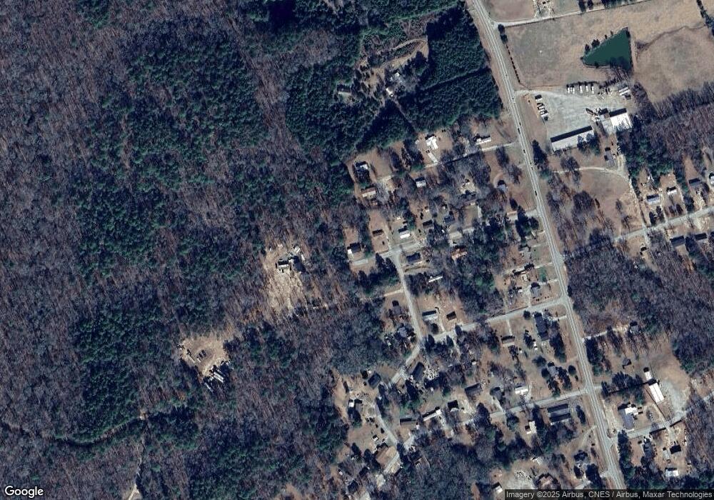
Map
Nearby Homes
- 0 Backway Rd
- 00 Bonner Rd
- LOT 22 Plantation Point Rd
- 1102 Dogwood Dr
- 1025 Plantation Ln
- Lot 6 Lighthouse Point
- 0 Hwy 220 Unit 538782
- Lot 14 Wisteria Dr
- 1203 Price Reese Rd
- 1960 White Rock Rd
- 0 Aramathea Church Rd
- 0 Maiden Cane Way Unit 10610441
- 0 Mariners Way Unit Lot 39
- 0 Mariners Way Unit Lot 41
- 0 Mariners Way Unit 10539877
- 9-3 Long Cove
- 0 Hwy 220 Tract B
- 7-3 Long Cove
- 6.55 ACRES S Lakeshore Dr
- 1-3 Long Cove Dr
- 1055 Elam Dr
- 1117 Sherman Ln
- 1023 Turner Dr
- 1045 Elam Dr
- 1107 Sherman Ln
- 1054 Elam Dr
- 1033 Turner Dr
- 1035 Elam Dr
- 1034 Elam Dr
- 1043 Melvin Norman Dr
- 1085 Melvin Norman Dr
- 1064 Sherman Ln
- 1024 Elam Dr
- 1025 Elam Dr
- 1099 Melvin Norman Dr
- 1082 Melvin Norman Dr
- 1052 Melvin Norman Dr
- 1042 Melvin Norman Dr
- 4075 Augusta Hwy
- 4097 Augusta Hwy