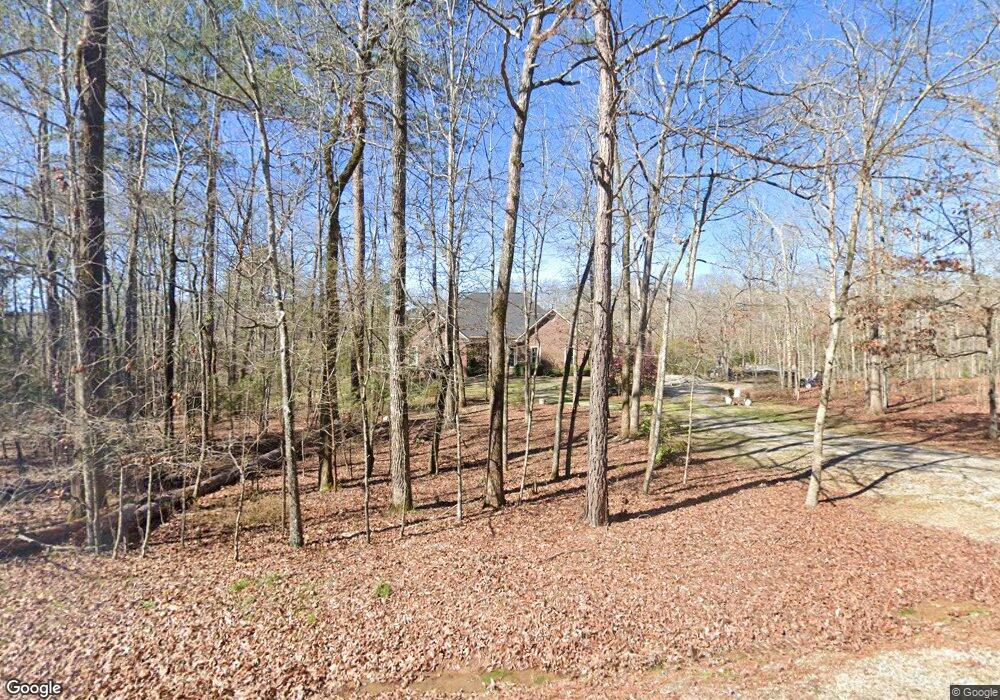
1067 Maple Ct Lincolnton, GA 30817
Estimated Value: $407,000 - $464,000
3
Beds
2
Baths
2,955
Sq Ft
$149/Sq Ft
Est. Value
About This Home
This home is located at 1067 Maple Ct, Lincolnton, GA 30817 and is currently estimated at $440,471, approximately $149 per square foot. 1067 Maple Ct is a home located in Lincoln County with nearby schools including Lincoln County Elementary School, Lincoln County Middle School, and Lincoln County High School.
Ownership History
Date
Name
Owned For
Owner Type
Purchase Details
Closed on
Feb 24, 2009
Sold by
Tebeau John R and Tebeau Debra E
Bought by
Tebeau John Robert
Current Estimated Value
Purchase Details
Closed on
Sep 26, 2003
Sold by
Musgrove Howard G and Musgrove Janet M
Bought by
Tebeau John R and Tebeau Debra E
Purchase Details
Closed on
May 20, 1997
Sold by
Kochery Paul M and Kochery Indira A
Bought by
Musgrove Howard G and Musgrove Janet M
Purchase Details
Closed on
Mar 14, 1984
Sold by
Sullivan Plantation
Bought by
Kochery Paul M and Kochery Indira A
Purchase Details
Closed on
Apr 24, 1980
Sold by
Site Enterprise Inc
Bought by
Sullican Plantation
Create a Home Valuation Report for This Property
The Home Valuation Report is an in-depth analysis detailing your home's value as well as a comparison with similar homes in the area
Home Values in the Area
Average Home Value in this Area
Purchase History
| Date | Buyer | Sale Price | Title Company |
|---|---|---|---|
| Tebeau John Robert | -- | -- | |
| Tebeau John R | $42,000 | -- | |
| Musgrove Howard G | $33,400 | -- | |
| Kochery Paul M | $22,000 | -- | |
| Sullican Plantation | -- | -- |
Source: Public Records
Tax History Compared to Growth
Tax History
| Year | Tax Paid | Tax Assessment Tax Assessment Total Assessment is a certain percentage of the fair market value that is determined by local assessors to be the total taxable value of land and additions on the property. | Land | Improvement |
|---|---|---|---|---|
| 2025 | $4,259 | $168,840 | $9,400 | $159,440 |
| 2024 | $4,274 | $155,800 | $9,400 | $146,400 |
| 2023 | $3,603 | $137,000 | $9,400 | $127,600 |
| 2022 | $3,450 | $131,520 | $9,400 | $122,120 |
| 2021 | $3,484 | $120,360 | $9,400 | $110,960 |
| 2020 | $3,263 | $96,560 | $9,400 | $87,160 |
| 2019 | $3,275 | $96,560 | $9,400 | $87,160 |
| 2018 | $3,035 | $96,560 | $9,400 | $87,160 |
| 2017 | $3,196 | $101,674 | $14,314 | $87,360 |
| 2016 | $3,290 | $101,674 | $14,314 | $87,360 |
| 2015 | -- | $101,674 | $14,314 | $87,360 |
| 2014 | -- | $101,674 | $14,314 | $87,360 |
| 2013 | -- | $101,673 | $14,313 | $87,360 |
Source: Public Records
Map
Nearby Homes
- 0 Backway Rd
- 1960 White Rock Rd
- Lot 6 Lighthouse Point
- 0 Hwy 220 Unit 538782
- Lot 14 Wisteria Dr
- 0 Maiden Cane Way Unit 10610441
- 0 Mariners Way Unit Lot 39
- 0 Mariners Way Unit Lot 41
- 0 Mariners Way Unit 10539877
- 0 Hwy 220 Tract B
- 00 Bonner Rd
- 1791 Augusta Hwy
- 32 Eagle Pointe
- 1102 Dogwood Dr
- LOT 22 Plantation Point Rd
- 9-3 Long Cove
- 7-3 Long Cove
- 0 Aramathea Church Rd
- 1460 Leathersville Rd
- 144.56 AC Ben Ln
- 0 Maple Ct
- 1085 Maple Ct
- 1047 Maple Ct
- 1123 Maple Ct
- 1094 Maple Ct
- 1023 Maple Ct
- 1060 Water View Dr
- 1076 Water View Dr
- 1254 Sullivan Rd
- 1094 Water View Dr
- 1180 Sullivan Rd
- 1026 Water View Dr
- 1143 Maple Ct
- 1140 Maple Ct
- 000 Water View Dr
- 0 Water View Dr Unit 459746
- 0 Water View Dr Unit 7002900
- 1106 Sullivan Rd
- 1147 Maple Ct
- 1001 Water View Dr