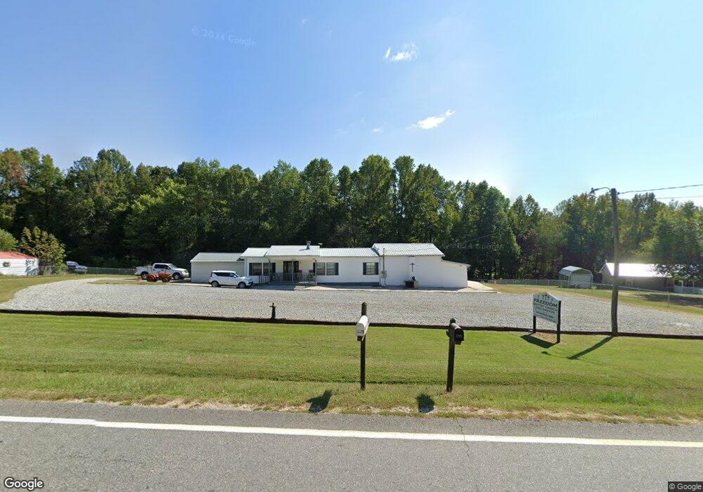
1067 Old Dahlonega Hwy Dahlonega, GA 30533
Estimated Value: $372,000 - $667,000
--
Bed
2
Baths
2,648
Sq Ft
$177/Sq Ft
Est. Value
About This Home
This home is located at 1067 Old Dahlonega Hwy, Dahlonega, GA 30533 and is currently estimated at $467,526, approximately $176 per square foot. 1067 Old Dahlonega Hwy is a home located in Lumpkin County with nearby schools including Clay County Middle School and Lumpkin County High School.
Ownership History
Date
Name
Owned For
Owner Type
Purchase Details
Closed on
Mar 16, 2004
Sold by
Cain Group Llp
Bought by
Freedom Baptist Church
Current Estimated Value
Purchase Details
Closed on
Apr 20, 1999
Sold by
Gibson Jamie Mraie
Bought by
Cain Group Llp
Purchase Details
Closed on
Mar 26, 1999
Sold by
Stump Dianne
Bought by
Gibson Jamie Mraie
Purchase Details
Closed on
Mar 24, 1998
Bought by
Stump Dianne
Create a Home Valuation Report for This Property
The Home Valuation Report is an in-depth analysis detailing your home's value as well as a comparison with similar homes in the area
Home Values in the Area
Average Home Value in this Area
Purchase History
| Date | Buyer | Sale Price | Title Company |
|---|---|---|---|
| Freedom Baptist Church | $90,000 | -- | |
| Cain Group Llp | -- | -- | |
| Gibson Jamie Mraie | $15,000 | -- | |
| Stump Dianne | -- | -- |
Source: Public Records
Tax History Compared to Growth
Tax History
| Year | Tax Paid | Tax Assessment Tax Assessment Total Assessment is a certain percentage of the fair market value that is determined by local assessors to be the total taxable value of land and additions on the property. | Land | Improvement |
|---|---|---|---|---|
| 2024 | -- | $143,139 | $97,272 | $45,867 |
| 2023 | $0 | $133,429 | $90,908 | $42,521 |
| 2022 | $3,161 | $127,670 | $82,639 | $45,031 |
| 2021 | $3,385 | $119,296 | $82,639 | $36,657 |
| 2020 | $3,351 | $118,112 | $82,639 | $35,473 |
| 2019 | $3,351 | $118,112 | $82,639 | $35,473 |
| 2018 | $3,235 | $114,031 | $82,639 | $31,392 |
| 2017 | $0 | $113,124 | $82,639 | $30,485 |
| 2016 | $3,047 | $108,747 | $82,639 | $26,108 |
| 2015 | -- | $108,747 | $82,639 | $26,108 |
| 2014 | -- | $109,563 | $82,639 | $26,924 |
| 2013 | -- | $110,379 | $82,638 | $27,740 |
Source: Public Records
Map
Nearby Homes
- 94 King Arthur Ct
- 238 Sunrise Trail
- 260 Holly Ln
- 0 Myrtle Dr Unit 7650061
- 0 Myrtle Dr Unit 10607430
- 0 Gold View Dr
- 151 Norris Rd
- 219 John Garner Rd
- 668 Gold Cove Dr
- 6480 Highway 52 W
- 87 Tolleffs Trail
- 1228 Winters Mountain Rd
- 128 Young Deer Dr
- 962 Winters Mountain Rd
- 0 Gold Crest Dr Unit 7623108
- 0 Gold Crest Dr Unit 10373986
- 245 Perkins Rd
- 205 Perkins Rd
- 201 Perkins Rd
- 1090 Old Dahlonega Hwy
- 1123 Old Dahlonega Hwy
- 20 Lancelot Rd
- 921 Old Dahlonega Hwy
- 1155 Old Dahlonega Hwy
- 1154 Old Dahlonega Hwy
- 199 Lancelot Rd
- 1157 Old Dahlonega Hwy
- 922 Old Dahlonega Hwy
- 1158 Old Dahlonega Hwy
- 888 Old Dahlonega Hwy Unit 96
- 888 Old Dahlonega Hwy
- 100 Galahad Rd
- 0 Lancelot Rd Unit 7488438
- 0 Lancelot Rd Unit 3249907
- 0 Lancelot Rd Unit 3258526
- 88 King Arthur Ct
- 1189 Old Dahlonega Hwy
- 46 King Arthur Ct Unit 15
- 97 Shenandoah Dr