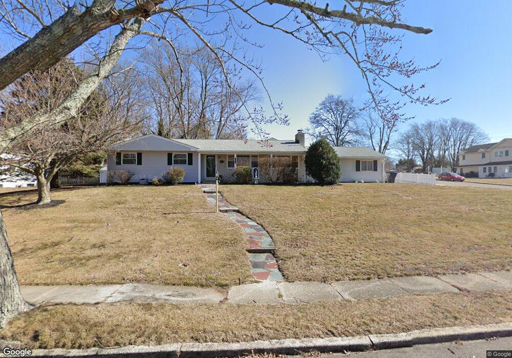
1067 Ruby Dr Toms River, NJ 08753
Estimated Value: $380,000 - $493,000
3
Beds
2
Baths
1,192
Sq Ft
$375/Sq Ft
Est. Value
About This Home
This home is located at 1067 Ruby Dr, Toms River, NJ 08753 and is currently estimated at $446,936, approximately $374 per square foot. 1067 Ruby Dr is a home located in Ocean County.
Ownership History
Date
Name
Owned For
Owner Type
Purchase Details
Closed on
Oct 20, 2021
Sold by
Superior Ruby Llc
Bought by
Bastardo John P and Muth Alexandra L
Current Estimated Value
Home Financials for this Owner
Home Financials are based on the most recent Mortgage that was taken out on this home.
Original Mortgage
$233,100
Outstanding Balance
$212,812
Interest Rate
2.88%
Mortgage Type
New Conventional
Estimated Equity
$234,124
Purchase Details
Closed on
Feb 3, 2010
Sold by
Battista Phillip
Bought by
Superior Ruby Llc
Purchase Details
Closed on
Nov 17, 2002
Sold by
Lorenzoni Eric
Bought by
Batista Phillip
Create a Home Valuation Report for This Property
The Home Valuation Report is an in-depth analysis detailing your home's value as well as a comparison with similar homes in the area
Home Values in the Area
Average Home Value in this Area
Purchase History
| Date | Buyer | Sale Price | Title Company |
|---|---|---|---|
| Bastardo John P | $259,000 | Trident Abstract Ttl Agcy Ll | |
| Superior Ruby Llc | $200,000 | None Available | |
| Batista Phillip | $225,000 | -- |
Source: Public Records
Mortgage History
| Date | Status | Borrower | Loan Amount |
|---|---|---|---|
| Open | Bastardo John P | $233,100 |
Source: Public Records
Tax History
| Year | Tax Paid | Tax Assessment Tax Assessment Total Assessment is a certain percentage of the fair market value that is determined by local assessors to be the total taxable value of land and additions on the property. | Land | Improvement |
|---|---|---|---|---|
| 2025 | $5,956 | $304,800 | $140,000 | $164,800 |
| 2024 | $5,276 | $304,800 | $140,000 | $164,800 |
| 2023 | $5,087 | $304,800 | $140,000 | $164,800 |
| 2022 | $5,087 | $304,800 | $140,000 | $164,800 |
| 2021 | $5,130 | $204,800 | $102,300 | $102,500 |
| 2020 | $5,108 | $204,800 | $102,300 | $102,500 |
| 2019 | $4,887 | $204,800 | $102,300 | $102,500 |
| 2018 | $4,821 | $204,800 | $102,300 | $102,500 |
| 2017 | $4,780 | $204,800 | $102,300 | $102,500 |
| 2016 | $4,655 | $204,800 | $102,300 | $102,500 |
| 2015 | $4,479 | $204,800 | $102,300 | $102,500 |
| 2014 | $4,264 | $204,800 | $102,300 | $102,500 |
Source: Public Records
Map
Nearby Homes
- 1029 Lucy Ln
- 1099 Fairview Dr
- 1018 Zircon Dr
- 317 Teaberry Ct
- 972 Quartz Dr
- 942 Neville St
- 1611 Oak Glen Rd
- 1052 Bell St
- 1181 Fischer Blvd
- 910 Neville St
- 998 Bell St
- 968 Hazelwood Rd
- 1195 Fischer Blvd
- 1203 Fischer Blvd
- 1085 Vaughn Ave
- 899 Molde Ct
- 975 Hunt Dr
- 1850 Ensign Ct
- 815 Gilmores Island Rd
- 1072 Lake Placid Dr
Your Personal Tour Guide
Ask me questions while you tour the home.