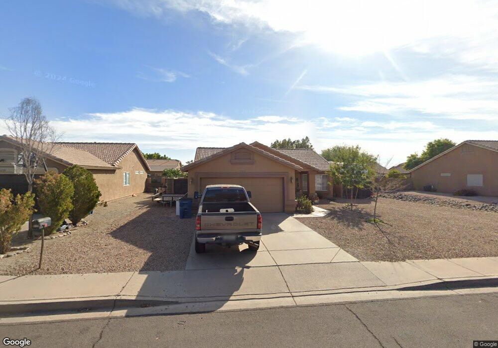
1067 W 12th Ave Apache Junction, AZ 85120
Estimated Value: $377,375 - $424,000
Studio
--
Bath
1,484
Sq Ft
$271/Sq Ft
Est. Value
About This Home
This home is located at 1067 W 12th Ave, Apache Junction, AZ 85120 and is currently estimated at $402,844, approximately $271 per square foot. 1067 W 12th Ave is a home located in Pinal County with nearby schools including Desert Vista Elementary School, Cactus Canyon Junior High School, and Apache Junction High School.
Ownership History
Date
Name
Owned For
Owner Type
Purchase Details
Closed on
May 24, 2001
Sold by
Gonzales Eugene R
Bought by
Gonzales Eugene R and Gonzales Robyn R
Current Estimated Value
Home Financials for this Owner
Home Financials are based on the most recent Mortgage that was taken out on this home.
Original Mortgage
$96,751
Interest Rate
7.15%
Purchase Details
Closed on
Jan 13, 1997
Sold by
Lennar Homes Of Arizona Inc
Bought by
Gonzales Eugene R
Home Financials for this Owner
Home Financials are based on the most recent Mortgage that was taken out on this home.
Original Mortgage
$97,290
Interest Rate
8.14%
Mortgage Type
New Conventional
Create a Home Valuation Report for This Property
The Home Valuation Report is an in-depth analysis detailing your home's value as well as a comparison with similar homes in the area
Home Values in the Area
Average Home Value in this Area
Purchase History
| Date | Buyer | Sale Price | Title Company |
|---|---|---|---|
| Gonzales Eugene R | -- | Chicago Title Insurance Co | |
| Gonzales Eugene R | $98,115 | -- | |
| Gonzales Eugene R | $98,115 | -- |
Source: Public Records
Mortgage History
| Date | Status | Borrower | Loan Amount |
|---|---|---|---|
| Previous Owner | Gonzales Eugene R | $96,751 | |
| Previous Owner | Gonzales Eugene R | $97,290 |
Source: Public Records
Tax History
| Year | Tax Paid | Tax Assessment Tax Assessment Total Assessment is a certain percentage of the fair market value that is determined by local assessors to be the total taxable value of land and additions on the property. | Land | Improvement |
|---|---|---|---|---|
| 2025 | $1,544 | $35,305 | -- | -- |
| 2024 | $1,451 | $37,271 | -- | -- |
| 2023 | $1,519 | $27,872 | $5,356 | $22,516 |
| 2022 | $1,451 | $21,993 | $5,357 | $16,636 |
| 2021 | $1,497 | $20,408 | $0 | $0 |
| 2020 | $1,459 | $19,753 | $0 | $0 |
| 2019 | $1,398 | $19,034 | $0 | $0 |
| 2018 | $1,367 | $13,648 | $0 | $0 |
| 2017 | $1,332 | $12,940 | $0 | $0 |
| 2016 | $1,293 | $12,928 | $1,100 | $11,828 |
| 2014 | $1,238 | $8,042 | $1,100 | $6,942 |
Source: Public Records
Map
Nearby Homes
- 1108 W 13th Ave
- 955 W 12th Ave
- 946 W 14th Ave
- XXX E Compound Lot 2 B Trail Unit B
- 823 W 14th Ave
- 2090 S Cherokee Ave
- 894 S Buena Vista Dr
- 880 S Buena Vista Dr
- 2237 W San Juan Cir
- 2239 W San Juan Cir Unit 239
- 2301 S Seminole Dr Unit 301
- 2309 S Seminole Dr
- 2167 W Miya Ave Unit 167
- 762 W 17th Ave
- 1206 W Klamath Ave
- 2126 S Dakota Ave
- 2205 W Klamath Ave Unit 205
- 1198 W Klamath Ave Unit 198
- 2082 W Klamath Ave
- 1294 W Mesquite Ave
- 1109 W 12th Ave
- 1055 W 12th Ave
- 1068 W 13th Ave
- 1052 W 13th Ave
- 1125 W 12th Ave
- 1041 W 12th Ave
- 1034 W 13th Ave
- 1124 W 13th Ave
- 1077 W 11th Ave
- 1053 W 11th Ave
- 1025 W 12th Ave
- 1153 W 12th Ave
- 1039 W 11th Ave
- 1028 W 13th Ave
- 1152 W 13th Ave
- 1021 W 11th Ave
- 1065 W 13th Ave
- 1009 W 12th Ave
- 1175 W 12th Ave
- 1175 W 12th Ave
Your Personal Tour Guide
Ask me questions while you tour the home.