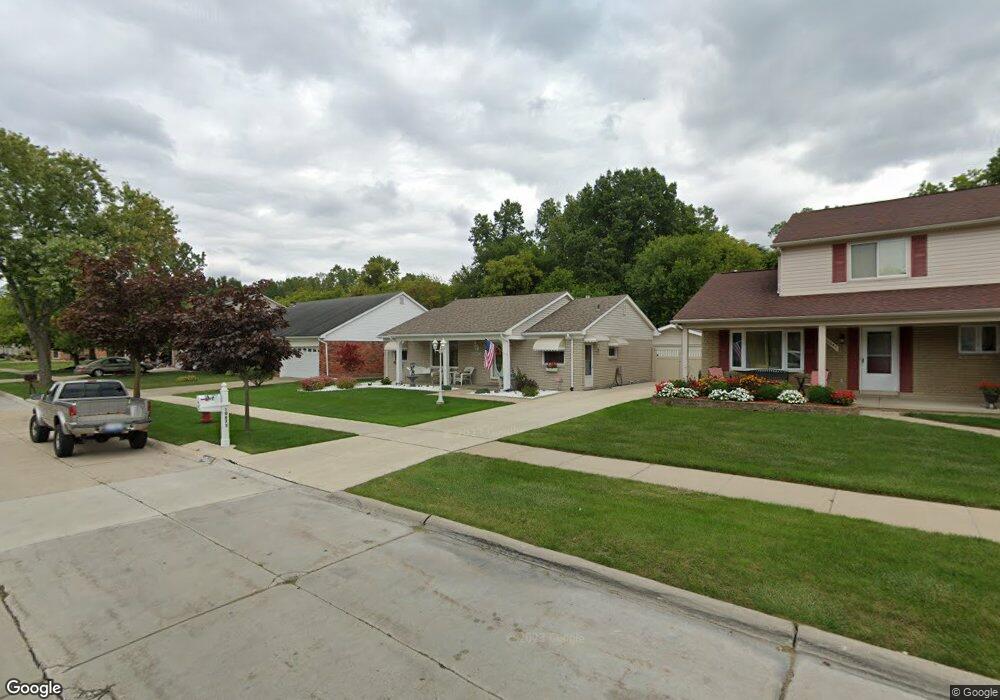
10673 Continental Dr Taylor, MI 48180
Estimated Value: $222,521 - $271,000
--
Bed
--
Bath
1,244
Sq Ft
$203/Sq Ft
Est. Value
About This Home
This home is located at 10673 Continental Dr, Taylor, MI 48180 and is currently estimated at $252,380, approximately $202 per square foot. 10673 Continental Dr is a home located in Wayne County with nearby schools including Holland Elementary School, Hoover Middle School, and Taylor High School.
Ownership History
Date
Name
Owned For
Owner Type
Purchase Details
Closed on
Sep 7, 2016
Sold by
Taschetti Roberto O and Taschetti Terri L
Bought by
Taschetti Roberto A
Current Estimated Value
Purchase Details
Closed on
Sep 5, 2007
Sold by
Goldfarb Bonding Agency Llc
Bought by
Taschetti Roberto
Purchase Details
Closed on
Jun 22, 2007
Sold by
Taschetti Roberto A and Taschetti Terri L
Bought by
Goldfarb Bonding Agency Llc
Create a Home Valuation Report for This Property
The Home Valuation Report is an in-depth analysis detailing your home's value as well as a comparison with similar homes in the area
Home Values in the Area
Average Home Value in this Area
Purchase History
| Date | Buyer | Sale Price | Title Company |
|---|---|---|---|
| Taschetti Roberto A | -- | Attorney | |
| Taschetti Roberto | -- | Philip F Greco Title Company | |
| Goldfarb Bonding Agency Llc | -- | None Available |
Source: Public Records
Tax History Compared to Growth
Tax History
| Year | Tax Paid | Tax Assessment Tax Assessment Total Assessment is a certain percentage of the fair market value that is determined by local assessors to be the total taxable value of land and additions on the property. | Land | Improvement |
|---|---|---|---|---|
| 2025 | $2,195 | $117,400 | $0 | $0 |
| 2024 | $2,195 | $99,200 | $0 | $0 |
| 2023 | $2,679 | $89,700 | $0 | $0 |
| 2022 | $2,095 | $80,900 | $0 | $0 |
| 2021 | $2,358 | $75,000 | $0 | $0 |
| 2020 | $2,337 | $69,300 | $0 | $0 |
| 2019 | $233,884 | $65,900 | $0 | $0 |
| 2018 | $1,799 | $57,400 | $0 | $0 |
| 2017 | $1,106 | $54,800 | $0 | $0 |
| 2016 | $2,289 | $53,300 | $0 | $0 |
| 2015 | $4,064 | $45,700 | $0 | $0 |
| 2013 | $4,050 | $41,200 | $0 | $0 |
| 2012 | $1,767 | $40,800 | $15,000 | $25,800 |
Source: Public Records
Map
Nearby Homes
- 0 Goddard Unit 20251010304
- 11081 Coventry Ct Unit 31
- 25737 Rusty St
- 11098 Partridge Dr Unit 12
- 11098 Partridge Dr
- Bayberry Plan at Cypress Garden
- Bannister Plan at Cypress Garden
- Cypress Plan at Cypress Garden
- Evanston IV Plan at Cypress Garden
- Cedar III Plan at Cypress Garden
- Aspen Plan at Cypress Garden
- Evanston III Plan at Cypress Garden
- Cedar IV Plan at Cypress Garden
- 25822 Cove Creek Dr
- 25873 Cove Creek Dr Unit 7
- 25830 Belledale St
- 10051 Fairview St
- 9915 Beech Daly Rd
- 11693 Partridge Dr Unit 38
- 11693 Partridge Dr
- 10661 Continental Dr
- 10685 Continental Dr
- 10649 Continental Dr
- 10697 Continental Dr
- 10809 Continental Dr
- 10674 Continental Dr
- 10662 Continental Dr
- 10686 Continental Dr
- 10637 Continental Dr
- 10698 Continental Dr
- 10650 Continental Dr
- 10821 Continental Dr
- 10810 Continental Dr
- 10833 Continental Dr
- 10609 Continental Dr
- 10822 Continental Dr
- 10614 Continental Dr
- 10845 Continental Dr
- 10834 Continental Dr
- 10597 Continental Dr