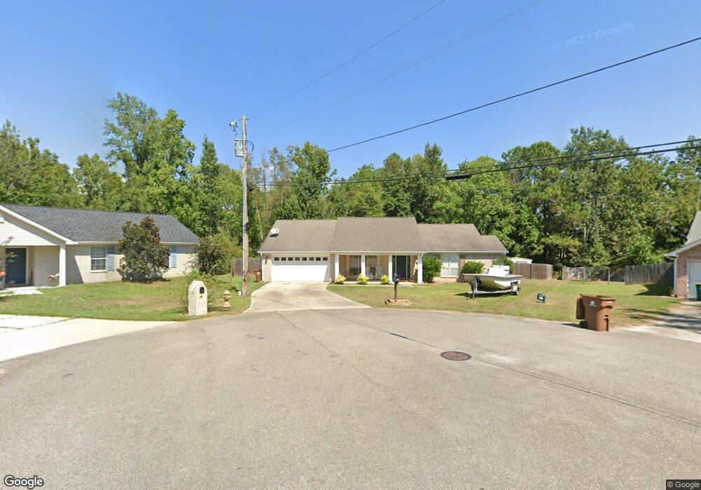
10676 Oakcrest Dr N Biloxi, MS 39532
Estimated Value: $261,231 - $269,000
3
Beds
2
Baths
1,736
Sq Ft
$152/Sq Ft
Est. Value
About This Home
This home is located at 10676 Oakcrest Dr N, Biloxi, MS 39532 and is currently estimated at $264,308, approximately $152 per square foot. 10676 Oakcrest Dr N is a home located in Harrison County with nearby schools including Woolmarket Elementary School, North Woolmarket Elementary/Middle School, and D'Iberville Senior High School.
Ownership History
Date
Name
Owned For
Owner Type
Purchase Details
Closed on
Feb 28, 2020
Sold by
Compton Charles Matthew
Bought by
Oberhart Mattiew J and Oberhart Madalyn A
Current Estimated Value
Home Financials for this Owner
Home Financials are based on the most recent Mortgage that was taken out on this home.
Original Mortgage
$185,000
Outstanding Balance
$163,491
Interest Rate
3.5%
Mortgage Type
VA
Estimated Equity
$100,817
Create a Home Valuation Report for This Property
The Home Valuation Report is an in-depth analysis detailing your home's value as well as a comparison with similar homes in the area
Home Values in the Area
Average Home Value in this Area
Purchase History
| Date | Buyer | Sale Price | Title Company |
|---|---|---|---|
| Oberhart Mattiew J | -- | None Available |
Source: Public Records
Mortgage History
| Date | Status | Borrower | Loan Amount |
|---|---|---|---|
| Open | Oberhart Mattiew J | $185,000 |
Source: Public Records
Tax History Compared to Growth
Tax History
| Year | Tax Paid | Tax Assessment Tax Assessment Total Assessment is a certain percentage of the fair market value that is determined by local assessors to be the total taxable value of land and additions on the property. | Land | Improvement |
|---|---|---|---|---|
| 2025 | $1,331 | $14,153 | $0 | $0 |
| 2024 | $1,265 | $13,603 | $0 | $0 |
| 2023 | $1,281 | $13,674 | $0 | $0 |
| 2022 | $1,291 | $13,674 | $0 | $0 |
| 2021 | $1,297 | $13,674 | $0 | $0 |
| 2020 | $1,184 | $12,292 | $0 | $0 |
| 2019 | $1,193 | $12,292 | $0 | $0 |
| 2018 | $1,205 | $12,292 | $0 | $0 |
| 2017 | $1,205 | $12,292 | $0 | $0 |
| 2015 | $1,227 | $12,262 | $0 | $0 |
| 2014 | -- | $10,069 | $0 | $0 |
| 2013 | -- | $12,369 | $2,300 | $10,069 |
Source: Public Records
Map
Nearby Homes
- 10574 Shore Cove
- 10556 Shore Cove
- 0 W River Vue
- 10555 Pak Cove
- 10124 Skyhawk Ct
- 10242 Webb Ln
- 11025 Pin Oak Dr
- 10415 Pin Oak Dr
- 11044 Pin Oak Dr
- 10452 Riviere Vue Dr
- 10355 Pin Oak Dr
- 11209 Shorecrest Rd
- 0 N River Vue Cir
- Kai Plan at River Oaks
- Opal Plan at River Oaks
- 9700 W Oaklawn Rd
- 9626 W Oaklawn Rd
- 0 Eagle Point Cir Unit 4112102
- 9658 W Oaklawn Rd
- 9642 W Oaklawn Rd
- 10670 Oak Crest Dr N
- 10673 Oak Crest Dr N
- 10660 Oak Crest Dr N
- 10671 Oak Crest Dr N
- 10661 Oak Crest Dr N
- 10144 Ridgewood Ln
- 10680 Shorecrest Rd
- 10670 Shorecrest Rd
- 10642 Oak Crest Dr S
- 10647 Oak Crest Dr S
- 10140 Ridgewood Ln
- 10151 Ridgewood Ln
- 10501 Pin Oak Dr
- 10145 Ridgewood Ln
- 11213 Karli Ln
- 10191 Ridgewood Ln
- 10635 Oak Crest Dr S
- 10635 Oakcrest Dr N
- 10632 Oak Crest Dr S
- 11217 Karli Ln