10680 Robert Ln Chagrin Falls, OH 44023
Estimated Value: $671,224 - $773,000
About This Home
This home is located at 10680 Robert Ln, Chagrin Falls, OH 44023 and is currently estimated at $725,806, approximately $199 per square foot. 10680 Robert Ln is a home located in Geauga County with nearby schools including Timmons Elementary School, Kenston Intermediate School, and Kenston Middle School.
Ownership History
We collect this data history from publicly available records. To have your information removed, we recommend requesting removal directly through your county’s website.
Purchase Details
Home Financials for this Owner
Home Financials are based on the most recent Mortgage that was taken out on this home.Purchase Details
Home Financials for this Owner
Home Financials are based on the most recent Mortgage that was taken out on this home.Purchase History
We collect this data history from publicly available records. To have your information removed, we recommend requesting removal directly through your county’s website.
| Date | Buyer | Sale Price | Title Company |
|---|---|---|---|
| $422,000 | Attorney | ||
| $60,000 | -- |
Mortgage History
We collect this data history from publicly available records. To have your information removed, we recommend requesting removal directly through your county’s website.
| Date | Status | Borrower | Loan Amount |
|---|---|---|---|
| Open | $337,600 | ||
| Previous Owner | $314,550 |
Tax History
We collect this data history from publicly available records. To have your information removed, we recommend requesting removal directly through your county’s website.
| Year | Tax Paid | Tax Assessment Tax Assessment Total Assessment is a certain percentage of the fair market value that is determined by local assessors to be the total taxable value of land and additions on the property. | Land | Improvement |
|---|---|---|---|---|
| 2025 | $10,219 | $211,200 | $29,930 | $181,270 |
| 2024 | $10,219 | $211,200 | $29,930 | $181,270 |
| 2023 | $10,209 | $211,200 | $29,930 | $181,270 |
| 2022 | $8,769 | $152,320 | $23,940 | $128,380 |
| 2021 | $8,799 | $152,320 | $23,940 | $128,380 |
| 2020 | $9,051 | $152,320 | $23,940 | $128,380 |
| 2019 | $8,631 | $137,550 | $23,940 | $113,610 |
| 2018 | $8,629 | $137,550 | $23,940 | $113,610 |
| 2017 | $8,631 | $137,550 | $23,940 | $113,610 |
| 2016 | $8,933 | $139,760 | $28,350 | $111,410 |
| 2015 | $8,942 | $139,760 | $28,350 | $111,410 |
| 2014 | $8,119 | $139,760 | $28,350 | $111,410 |
| 2013 | $7,900 | $139,760 | $28,350 | $111,410 |
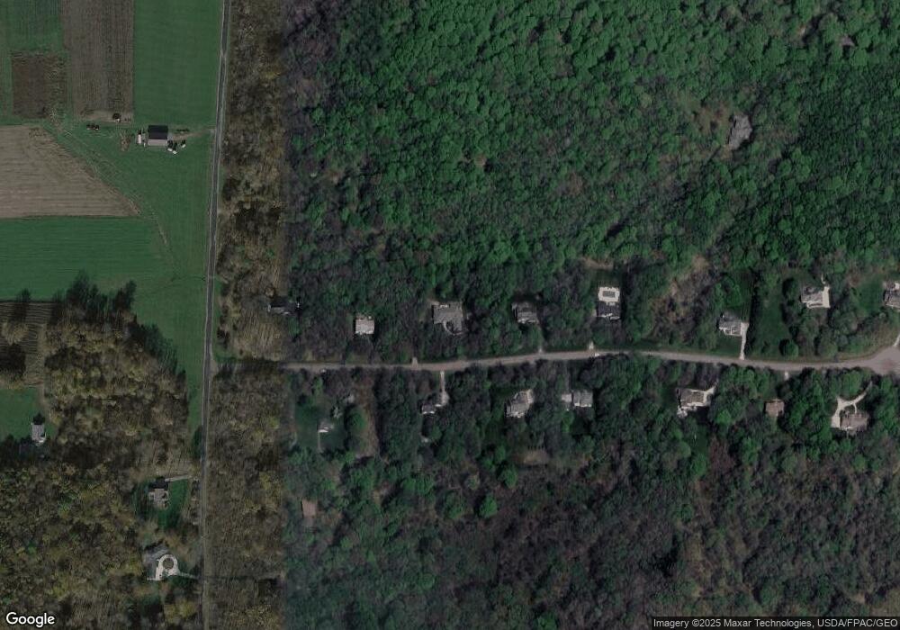
Map
- 0 Curry Ln
- 11101 E Washington St
- 16970 Auburn Rd
- lot 2 Stafford Rd
- lot 1 Stafford Rd
- 17800 Settlers Trail
- 615 Magnolia Ln
- 18130 Greatwood Ln
- 17615 Indian Hills Dr
- 16620 Jennifer Ln
- S/L 413 Crescent Ridge
- 17138 Wood Acre Trail
- 11565 Robin Wood Ln
- 11685 Lancaster Dr
- 9830 Greenway Trail
- 16490 Munn Rd
- 17265 Wood Acre Trail
- 18221 Quinn Rd
- 0 E Washington East of 11700 Unit 5180931
- 0 E Washington East of 11700 Unit 5180922
- 10650 Robert Ln
- 10700 Robert Ln
- 10685 Robert Ln
- 10705 Robert Ln
- 17545 Wing Rd
- 10620 Robert Ln
- 10735 Robert Ln
- 10730 Robert Ln
- 10755 Robert Ln
- 10760 Robert Ln
- 17605 Wing Rd
- 17570 Wing Rd
- 10785 Robert Ln
- 17467 Wing Rd
- 10790 Robert Ln
- 17580 Wing Rd
- 17625 Wing Rd
- 17540 Wing Rd
- 17610 Wing Rd
- 10805 Robert Ln
Ask me questions while you tour the home.