Estimated Value: $281,000 - $434,639
5
Beds
1
Bath
2,937
Sq Ft
$122/Sq Ft
Est. Value
About This Home
This home is located at 10685 State Route V, Rolla, MO 65401 and is currently estimated at $357,820, approximately $121 per square foot. 10685 State Route V is a home located in Phelps County with nearby schools including Rolla Junior High School and Rolla Senior High School.
Ownership History
Date
Name
Owned For
Owner Type
Purchase Details
Closed on
Oct 21, 2003
Current Estimated Value
Purchase Details
Closed on
May 16, 2003
Purchase Details
Closed on
Oct 16, 1997
Purchase Details
Closed on
Jul 21, 1993
Purchase Details
Closed on
Jul 14, 1992
Purchase Details
Closed on
Feb 7, 1992
Purchase Details
Closed on
Feb 20, 1990
Purchase Details
Closed on
Jun 30, 1986
Purchase Details
Closed on
Feb 1, 1985
Purchase Details
Closed on
May 29, 1984
Create a Home Valuation Report for This Property
The Home Valuation Report is an in-depth analysis detailing your home's value as well as a comparison with similar homes in the area
Home Values in the Area
Average Home Value in this Area
Purchase History
| Date | Buyer | Sale Price | Title Company |
|---|---|---|---|
| -- | -- | -- | |
| -- | -- | -- | |
| -- | -- | -- | |
| -- | -- | -- | |
| -- | -- | -- | |
| -- | -- | -- | |
| -- | -- | -- | |
| -- | -- | -- | |
| -- | -- | -- | |
| -- | -- | -- |
Source: Public Records
Tax History
| Year | Tax Paid | Tax Assessment Tax Assessment Total Assessment is a certain percentage of the fair market value that is determined by local assessors to be the total taxable value of land and additions on the property. | Land | Improvement |
|---|---|---|---|---|
| 2025 | $1,606 | $29,900 | $6,020 | $23,880 |
| 2024 | $1,361 | $26,660 | $4,870 | $21,790 |
| 2023 | $1,369 | $26,660 | $4,870 | $21,790 |
| 2022 | $1,152 | $26,660 | $4,870 | $21,790 |
| 2021 | $1,162 | $26,660 | $4,870 | $21,790 |
| 2020 | $1,066 | $23,920 | $4,870 | $19,050 |
| 2019 | $580 | $13,090 | $4,870 | $8,220 |
| 2018 | $575 | $13,090 | $4,870 | $8,220 |
| 2017 | $574 | $13,100 | $4,880 | $8,220 |
| 2016 | $554 | $13,100 | $4,880 | $8,220 |
| 2015 | -- | $13,100 | $4,880 | $8,220 |
| 2014 | -- | $13,120 | $4,900 | $8,220 |
| 2013 | -- | $13,120 | $0 | $0 |
Source: Public Records
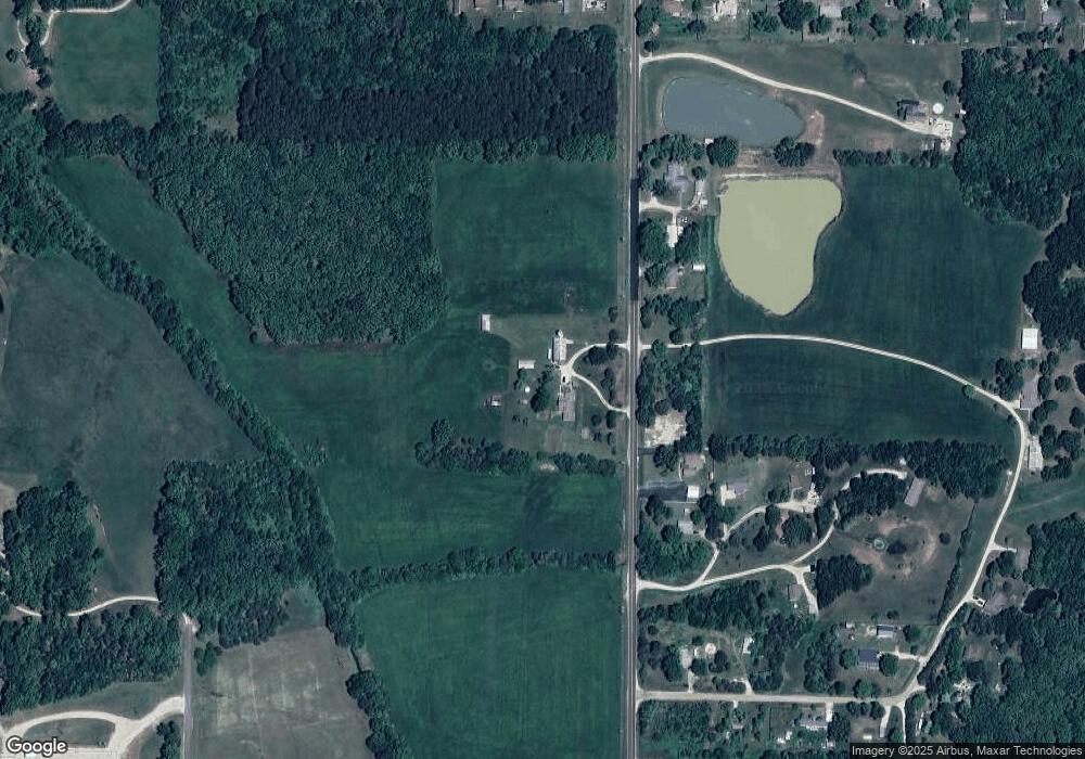
Map
Nearby Homes
- 11100 Woodale Dr
- 3600 Center St
- 3600 Center St
- 3600 Center St
- 3600 Center St
- 3600 Center St
- 20 Acres Old Highway 66
- 12185 County Road 2170
- 10
- 11050 County Road 2220
- 10582 County Road 3060
- 11475 Slate Cir
- 12505 Old Highway 66
- 10388 Private Drive 2054
- 0 County Road 2190
- 11275 County Road 3030
- 10366 County Road 3060
- 1522 Oak Forest Dr
- 11105 County Road 3030
- 13151 County Road 2220
- 10720 State Route V
- 10720 State Route V
- 10568 Highway E
- 10740 State Route V
- 10676 State Route V
- 10744 State Route V
- 11041 Private Drive 2202
- 11041 Private Drive 2202
- 11041 Private Drive 2202
- 11041 Private Drive 2202
- 11041 Private Drive 2202
- 11081 Private Drive 2202
- 11099 Private Drive 2202
- 11026 Private Drive 2202
- 11024 Private Drive 2202
- 11024 Private Drive 2202
- 10850 Private Drive 2085
- 10850 Pd 2085
- 10850 Private Drive 2085
- 11025 County Road 2200
Your Personal Tour Guide
Ask me questions while you tour the home.