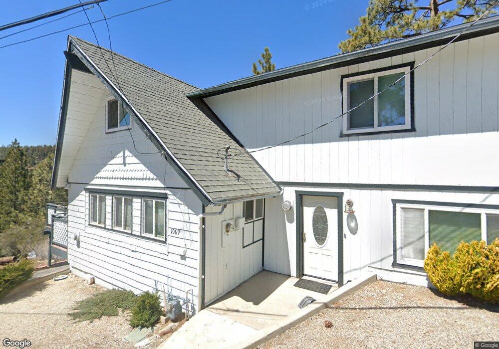
1069 Brookside Ln Fawnskin, CA 92333
Estimated Value: $323,944 - $525,000
4
Beds
2
Baths
1,685
Sq Ft
$251/Sq Ft
Est. Value
About This Home
This home is located at 1069 Brookside Ln, Fawnskin, CA 92333 and is currently estimated at $422,486, approximately $250 per square foot. 1069 Brookside Ln is a home located in San Bernardino County with nearby schools including North Shore Elementary School, Big Bear Middle School, and Big Bear High School.
Ownership History
Date
Name
Owned For
Owner Type
Purchase Details
Closed on
Apr 11, 2024
Sold by
Valentina M Schafer Trust and Schafer Valentina M
Bought by
Schafer Family Trust and Schafer
Current Estimated Value
Purchase Details
Closed on
Sep 8, 2000
Sold by
Parrah Valentina M and Schafer Valentina M
Bought by
Schafer Valentina M and The Valentina M Schafer Trust
Purchase Details
Closed on
Jun 14, 1996
Sold by
Dodd Kenneth L and Dodd Kenneth Lewellyn
Bought by
Parrah Valentina M
Purchase Details
Closed on
Nov 30, 1994
Sold by
Dodd Kenneth L and Dodd Francis E
Bought by
Dodd Kenneth Lewellyn and Dodd Francis Ellen
Create a Home Valuation Report for This Property
The Home Valuation Report is an in-depth analysis detailing your home's value as well as a comparison with similar homes in the area
Home Values in the Area
Average Home Value in this Area
Purchase History
| Date | Buyer | Sale Price | Title Company |
|---|---|---|---|
| Schafer Family Trust | -- | None Listed On Document | |
| Schafer Valentina M | -- | Stewart Title Company | |
| Parrah Valentina M | -- | Stewart Title | |
| Dodd Kenneth Lewellyn | -- | -- |
Source: Public Records
Tax History Compared to Growth
Tax History
| Year | Tax Paid | Tax Assessment Tax Assessment Total Assessment is a certain percentage of the fair market value that is determined by local assessors to be the total taxable value of land and additions on the property. | Land | Improvement |
|---|---|---|---|---|
| 2025 | $1,114 | $78,079 | $44,852 | $33,227 |
| 2024 | $1,114 | $76,548 | $43,973 | $32,575 |
| 2023 | $1,100 | $75,047 | $43,111 | $31,936 |
| 2022 | $1,079 | $73,576 | $42,266 | $31,310 |
| 2021 | $1,064 | $72,133 | $41,437 | $30,696 |
| 2020 | $1,076 | $71,393 | $41,012 | $30,381 |
| 2019 | $1,056 | $69,993 | $40,208 | $29,785 |
| 2018 | $868 | $68,621 | $39,420 | $29,201 |
| 2017 | $857 | $67,275 | $38,647 | $28,628 |
| 2016 | $842 | $65,956 | $37,889 | $28,067 |
| 2015 | $836 | $64,965 | $37,320 | $27,645 |
| 2014 | $823 | $63,692 | $36,589 | $27,103 |
Source: Public Records
Map
Nearby Homes
- 39325 Lodge Rd
- 39337 Garden Place
- 0 N Shore Dr Unit IG25012446
- 0 N Shore Dr Unit 32405685
- 1010 Brookside Ln
- 1127 Crags Ln
- 39256 N Shore Dr
- 39226 N Shore Dr
- 39335 N Shore Dr
- 1106 Comanche Dr
- 1118 Bruin Trail
- 39271 Seminole Dr
- 39210 N Shore Dr
- 0 Bruin Trail Unit 32300136
- 39239 Mohawk Dr
- 39342 Mohawk Dr
- 39164 Mohawk Dr
- 39178 Sioux Dr
- 39483 N Shore Dr
- 39177 Arapahoe Rd
- 1087 Brookside Ln
- 1092 Crags Ln
- 39341 Lodge Rd
- 1076 Brookside Ln
- 1097 Brookside Ln
- 39333 Lodge Rd
- 39349 Lodge Rd
- 1098 Crags Ln
- 1060 Brookside Ln
- 39359 Lodge Rd
- 1102 Crags Ln
- 1002 Cherokee St
- 0 Lodge Rd
- 1006 Cherokee St
- 39365 Lodge Rd
- 1109 Brookside Ln
- 1010 Cherokee St
- 1014 Cherokee St
- 1048 Brookside Ln
- 1039 Brookside Ln