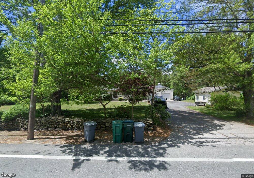
1069 Chopmist Hill Rd North Scituate, RI 02857
Estimated Value: $510,000 - $850,000
3
Beds
3
Baths
1,940
Sq Ft
$327/Sq Ft
Est. Value
About This Home
This home is located at 1069 Chopmist Hill Rd, North Scituate, RI 02857 and is currently estimated at $633,647, approximately $326 per square foot. 1069 Chopmist Hill Rd is a home located in Providence County with nearby schools including Clayville School, Scituate Middle School, and Scituate High School.
Ownership History
Date
Name
Owned For
Owner Type
Purchase Details
Closed on
Apr 3, 2012
Sold by
Mccaughey Charles R and Mccaughey Karen A
Bought by
Murphy Bernard M and Murphy Carolyn R
Current Estimated Value
Purchase Details
Closed on
Sep 29, 2005
Sold by
Mccaughey Charles R and Mccaughey Karen A
Bought by
Jacques Robert E and Jacques Doreen A
Home Financials for this Owner
Home Financials are based on the most recent Mortgage that was taken out on this home.
Original Mortgage
$450,000
Interest Rate
5.84%
Mortgage Type
Purchase Money Mortgage
Purchase Details
Closed on
Mar 5, 2003
Sold by
Kelly Cora E Est
Bought by
Mccaughey Charles R and Mccaughey Karen Ann
Create a Home Valuation Report for This Property
The Home Valuation Report is an in-depth analysis detailing your home's value as well as a comparison with similar homes in the area
Home Values in the Area
Average Home Value in this Area
Purchase History
| Date | Buyer | Sale Price | Title Company |
|---|---|---|---|
| Murphy Bernard M | $250,000 | -- | |
| Murphy Bernard M | $250,000 | -- | |
| Jacques Robert E | $295,000 | -- | |
| Jacques Robert E | $295,000 | -- | |
| Mccaughey Charles R | $225,000 | -- | |
| Mccaughey Charles R | $225,000 | -- |
Source: Public Records
Mortgage History
| Date | Status | Borrower | Loan Amount |
|---|---|---|---|
| Previous Owner | Mccaughey Charles R | $150,400 | |
| Previous Owner | Mccaughey Charles R | $450,000 |
Source: Public Records
Tax History Compared to Growth
Tax History
| Year | Tax Paid | Tax Assessment Tax Assessment Total Assessment is a certain percentage of the fair market value that is determined by local assessors to be the total taxable value of land and additions on the property. | Land | Improvement |
|---|---|---|---|---|
| 2025 | $6,731 | $388,400 | $88,200 | $300,200 |
| 2024 | $6,731 | $388,400 | $88,200 | $300,200 |
| 2023 | $6,510 | $388,400 | $88,200 | $300,200 |
| 2022 | $6,288 | $383,900 | $88,200 | $295,700 |
| 2021 | $6,349 | $339,700 | $93,700 | $246,000 |
| 2020 | $6,206 | $339,700 | $93,700 | $246,000 |
| 2019 | $6,077 | $339,700 | $93,700 | $246,000 |
| 2018 | $5,105 | $263,300 | $72,500 | $190,800 |
| 2017 | $4,955 | $263,300 | $72,500 | $190,800 |
| 2016 | $4,750 | $263,300 | $72,500 | $190,800 |
| 2015 | $4,388 | $229,000 | $67,500 | $161,500 |
| 2014 | $4,346 | $229,000 | $67,500 | $161,500 |
Source: Public Records
Map
Nearby Homes
- 955 Chopmist Hill Rd
- 399 Bungy Rd
- 1224 Hartford Pike
- 1101 Danielson Pike
- 1240 Hartford Pike
- 15 Apple Hill Dr
- 0 Danielson Pike Unit 1347736
- 785 Danielson Pike
- 2 Winsor
- 109 Gentry Way
- 737 Danielson Pike
- 0 Stone Dam Rd
- 261 Quaker Ln
- 1144 Snake Hill Rd
- 0 Central Pike
- 0 Quaker Ln
- 369 Hunting House Rd
- 54 Central Pike
- 302 Chopmist Hill Rd
- 0 Dexter Rd
- 1075 Chopmist Hill Rd
- 1072 Chopmist Hill Rd
- 1057 Chopmist Hill Rd
- 1081 Chopmist Hill Rd
- 1078 Chopmist Hill Rd
- 1058 Chopmist Hill Rd
- 1054 Chopmist Hill Rd
- 1097 Chopmist Hill Rd
- 1097 Chopmist Hill Rd Unit B
- 1050 Chopmist Hill Rd
- 1092 Chopmist Hill Rd
- 0 Carriage Hill Rd Unit 1198464
- 0 Carriage Hill Rd Unit 1202908
- 00 Carriage Hill Rd
- 0 Carriage Hill Rd Unit 1213381
- 0 Carriage Hill Rd Unit 1212784
- 1046 Chopmist Hill Rd
- 1060 Chopmist Hill Rd
- 1045 Chopmist Hill Rd
- 1037 Chopmist Hill Rd