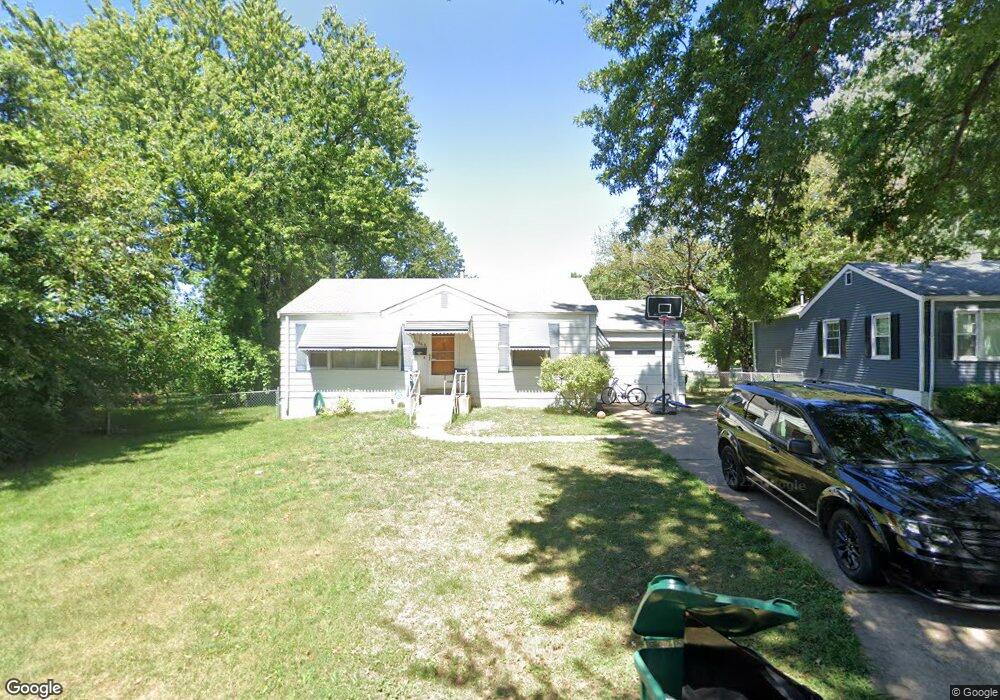
1069 Gabriel Dr Saint Louis, MO 63137
Estimated Value: $74,000 - $92,000
2
Beds
1
Bath
792
Sq Ft
$107/Sq Ft
Est. Value
About This Home
This home is located at 1069 Gabriel Dr, Saint Louis, MO 63137 and is currently estimated at $84,500, approximately $106 per square foot. 1069 Gabriel Dr is a home located in St. Louis County with nearby schools including Riverview Gardens Senior High School and Grace Chapel Lutheran School.
Ownership History
Date
Name
Owned For
Owner Type
Purchase Details
Closed on
Mar 23, 2017
Sold by
Rehagen Kenneth A
Bought by
1069 Gabriel Llc
Current Estimated Value
Purchase Details
Closed on
Jul 28, 2016
Sold by
Rehagen Kenneth A and Rehagen Thomas C
Bought by
Rehagen Kenneth A
Purchase Details
Closed on
Aug 9, 2007
Sold by
Travers Robert John and Travers Katie Doris
Bought by
Rehagen Kenneth A and Rehagen Thomas C
Purchase Details
Closed on
Feb 21, 2006
Sold by
Petersen Vera A
Bought by
Petersen Vera Annabelle and Vera Annabelle Petersen R/L/T/A
Create a Home Valuation Report for This Property
The Home Valuation Report is an in-depth analysis detailing your home's value as well as a comparison with similar homes in the area
Home Values in the Area
Average Home Value in this Area
Purchase History
| Date | Buyer | Sale Price | Title Company |
|---|---|---|---|
| 1069 Gabriel Llc | -- | None Available | |
| Rehagen Kenneth A | -- | None Available | |
| Rehagen Kenneth A | $45,500 | Ort | |
| Petersen Vera Annabelle | -- | None Available | |
| Petersen Vera A | -- | None Available |
Source: Public Records
Tax History
| Year | Tax Paid | Tax Assessment Tax Assessment Total Assessment is a certain percentage of the fair market value that is determined by local assessors to be the total taxable value of land and additions on the property. | Land | Improvement |
|---|---|---|---|---|
| 2025 | $1,484 | $13,720 | $2,760 | $10,960 |
| 2024 | $1,484 | $12,830 | $2,760 | $10,070 |
| 2023 | $1,466 | $12,830 | $2,760 | $10,070 |
| 2022 | $1,468 | $10,280 | $1,980 | $8,300 |
| 2021 | $1,454 | $10,280 | $1,980 | $8,300 |
| 2020 | $1,042 | $7,970 | $2,380 | $5,590 |
| 2019 | $1,012 | $7,970 | $2,380 | $5,590 |
| 2018 | $940 | $6,910 | $870 | $6,040 |
| 2017 | $909 | $6,910 | $870 | $6,040 |
| 2016 | $1,117 | $8,430 | $1,630 | $6,800 |
Source: Public Records
Map
Nearby Homes
- 10232 Tappan Dr
- 10241 Unicorn Dr
- 10130 Newbold Dr
- 1033 Bakewell Dr
- 1231 Odessa Dr
- 1124 Bakewell Dr
- 10346 Ashbrook Dr
- 1207 Bakewell Dr
- 10133 Maraldo Place
- 1120 Grenshaw Dr
- 1243 Addison Dr
- 1150 Bosworth Dr
- 10129 Ashbrook Dr
- 10107 Ashbrook Dr
- 10413 Ewell Dr
- 936 Amaral Cir
- 1219 Esquire Dr
- 1443 Attica Dr
- 10518 Ewell Dr
- 808 Bella Ln
- 1065 Gabriel Dr
- 1073 Gabriel Dr
- 1016 Addison Dr
- 1061 Gabriel Dr
- 10206 Cabot Dr
- 10184 Cabot Dr
- 1012 Addison Dr
- 1066 Gabriel Dr
- 1020 Addison Dr
- 1057 Gabriel Dr
- 10212 Cabot Dr
- 10179 Newbold Dr
- 10180 Cabot Dr
- 1008 Addison Dr
- 1024 Addison Dr
- 1053 Gabriel Dr
- 10216 Cabot Dr
- 10175 Newbold Dr
- 10201 Cabot Dr
- 10205 Cabot Dr
Your Personal Tour Guide
Ask me questions while you tour the home.