Estimated Value: $267,000 - $373,000
3
Beds
2
Baths
1,365
Sq Ft
$225/Sq Ft
Est. Value
About This Home
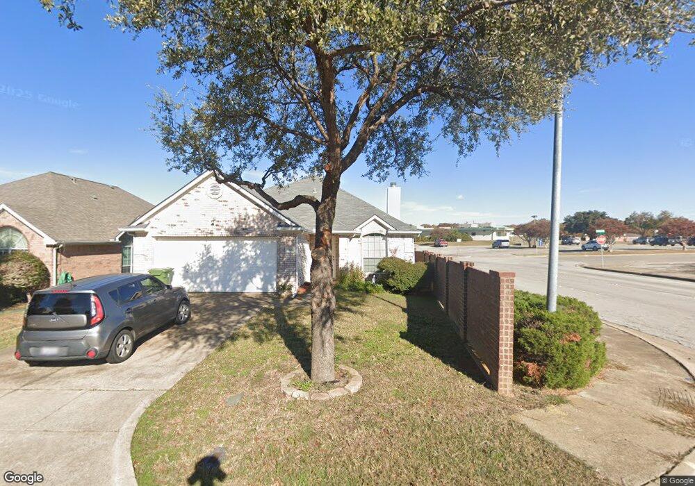
This home is located at 1069 Liberty Cir, Hurst, TX 76053 and is currently estimated at $307,547, approximately $225 per square foot. 1069 Liberty Cir is a home located in Tarrant County with nearby schools including Harrison Lane Elementary School, Hurst J High School, and L.D. Bell High School.
Ownership History
Date
Name
Owned For
Owner Type
Purchase Details
Closed on
Apr 20, 2004
Sold by
C & N Group Lp
Bought by
Harper Kimberly A
Current Estimated Value
Purchase Details
Closed on
Jun 23, 2003
Sold by
Uptown Estates Ltd
Bought by
C & N Group Lp
Home Financials for this Owner
Home Financials are based on the most recent Mortgage that was taken out on this home.
Original Mortgage
$103,000
Interest Rate
5.27%
Mortgage Type
Construction
Create a Home Valuation Report for This Property
The Home Valuation Report is an in-depth analysis detailing your home's value as well as a comparison with similar homes in the area
Home Values in the Area
Average Home Value in this Area
Purchase History
| Date | Buyer | Sale Price | Title Company |
|---|---|---|---|
| Harper Kimberly A | -- | Blue Star Title Inc | |
| C & N Group Lp | -- | American Title |
Source: Public Records
Mortgage History
| Date | Status | Borrower | Loan Amount |
|---|---|---|---|
| Previous Owner | C & N Group Lp | $103,000 |
Source: Public Records
Tax History Compared to Growth
Tax History
| Year | Tax Paid | Tax Assessment Tax Assessment Total Assessment is a certain percentage of the fair market value that is determined by local assessors to be the total taxable value of land and additions on the property. | Land | Improvement |
|---|---|---|---|---|
| 2025 | $2,113 | $259,556 | $65,000 | $194,556 |
| 2024 | $2,113 | $303,779 | $65,000 | $238,779 |
| 2023 | $4,802 | $256,000 | $35,000 | $221,000 |
| 2022 | $5,017 | $241,779 | $35,000 | $206,779 |
| 2021 | $4,778 | $219,382 | $35,000 | $184,382 |
| 2020 | $4,333 | $180,093 | $35,000 | $145,093 |
| 2019 | $4,424 | $180,775 | $35,000 | $145,775 |
| 2018 | $3,500 | $166,482 | $28,000 | $138,482 |
| 2017 | $3,830 | $151,347 | $28,000 | $123,347 |
| 2016 | $3,608 | $145,349 | $28,000 | $117,349 |
| 2015 | $2,967 | $129,600 | $25,000 | $104,600 |
| 2014 | $2,967 | $129,600 | $25,000 | $104,600 |
Source: Public Records
Map
Nearby Homes
- 802 Brown Trail
- 803 Glenda Dr
- 905 Brown Trail
- 341 Hurst Dr
- 1016 Keith Dr
- 344 Bedford Ct E
- 1136 Simpson Dr
- 849 Russell Ln
- 127 W Cedar St
- 644 Caduceus Ln
- 1008 Russell Ln
- 624 Harrison Ln
- 1220 Norwood Dr
- 552 Norwood Dr
- 231 Elm St
- 716 E Pecan St Unit 716 - 722
- 501 Merrill Dr
- 933 Wade Dr
- 508 Oak Park Dr
- 400 Joanna Dr
- 1065 Liberty Cir
- 1061 Liberty Cir
- 1057 Liberty Cir
- 1068 Liberty Cir
- 1064 Liberty Cir
- 1040 Liberty Cir
- 1053 Liberty Cir
- 1036 Liberty Cir
- 1000 Liberty Cir
- 1032 Liberty Cir
- 1004 Liberty Cir
- 1049 Liberty Cir
- 1045 Liberty Cir
- 813 Brown Trail Unit 9
- 813 Brown Trail Unit 2
- 1041 Liberty Cir
- 1028 Liberty Cir
- 1037 Liberty Cir
- 1033 Liberty Cir
- 1029 Liberty Cir