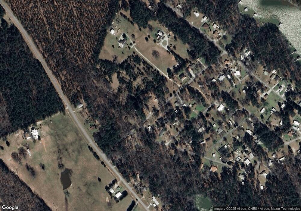
1069 Lincoln St Tignall, GA 30668
Estimated Value: $71,675 - $172,000
1
Bed
1
Bath
400
Sq Ft
$299/Sq Ft
Est. Value
About This Home
This home is located at 1069 Lincoln St, Tignall, GA 30668 and is currently estimated at $119,669, approximately $299 per square foot. 1069 Lincoln St is a home with nearby schools including Lincoln County Elementary School, Lincoln County Middle School, and Lincoln County High School.
Ownership History
Date
Name
Owned For
Owner Type
Purchase Details
Closed on
Dec 18, 2021
Sold by
Kinney Philip T
Bought by
Wallace Carole E
Current Estimated Value
Purchase Details
Closed on
Aug 3, 2020
Sold by
Kinney Philip Luke
Bought by
Watkins Sandra Jane
Purchase Details
Closed on
Dec 30, 2019
Sold by
Hawkins Michael Edward
Bought by
Kinney Philip
Purchase Details
Closed on
Aug 30, 1984
Sold by
Burson Gary C
Bought by
Hawkins Michael E
Purchase Details
Closed on
Mar 24, 1983
Sold by
Couch Brady C Est
Bought by
Burson Gary C
Purchase Details
Closed on
Jun 14, 1975
Bought by
Couch Brady C Est
Create a Home Valuation Report for This Property
The Home Valuation Report is an in-depth analysis detailing your home's value as well as a comparison with similar homes in the area
Home Values in the Area
Average Home Value in this Area
Purchase History
| Date | Buyer | Sale Price | Title Company |
|---|---|---|---|
| Wallace Carole E | $7,980 | -- | |
| Watkins Sandra Jane | -- | -- | |
| Kinney Philip | -- | -- | |
| Hawkins Michael E | $6,000 | -- | |
| Burson Gary C | $7,500 | -- | |
| Couch Brady C Est | $2,000 | -- |
Source: Public Records
Tax History Compared to Growth
Tax History
| Year | Tax Paid | Tax Assessment Tax Assessment Total Assessment is a certain percentage of the fair market value that is determined by local assessors to be the total taxable value of land and additions on the property. | Land | Improvement |
|---|---|---|---|---|
| 2024 | $90 | $3,424 | $1,800 | $1,624 |
| 2023 | $89 | $3,380 | $1,800 | $1,580 |
| 2022 | $79 | $3,380 | $1,800 | $1,580 |
| 2021 | $88 | $3,192 | $1,800 | $1,392 |
| 2020 | $103 | $3,192 | $1,800 | $1,392 |
| 2019 | $103 | $3,192 | $1,800 | $1,392 |
| 2018 | $100 | $3,192 | $1,800 | $1,392 |
| 2017 | $98 | $3,128 | $1,600 | $1,528 |
| 2016 | $97 | $640 | $0 | $640 |
| 2015 | -- | $2,887 | $1,600 | $1,287 |
| 2014 | -- | $2,887 | $1,600 | $1,287 |
Source: Public Records
Map
Nearby Homes
- 12 Doe Run
- 1223 Edge Ln
- 1217 Edge Ln
- 1229 Edge Ln
- 1235 Edge Ln
- 1277 Edge Ln
- 1210 Edge Ln
- 1070 Cody Trail
- 0 Doe Dr
- 1039 Merganser Cove
- 1034 N Pointe Ct
- 1034 Shore Line Dr
- 1139 Hester S Ferry Rd
- 10B Savannah Bay Dr
- 06 Savannah Bay Dr
- 07 Savannah Bay Dr
- 1165 Pine Shores Cove
- Lot 11 S Pointe Ct
- 1071 Outrigger Dr
- 1021 S Pointe Ct
- 1075 Lincoln St
- 1046 Lincoln St
- 1053 Lincoln St
- 1066 Lincoln St
- 1080 Lincoln St
- 1039 Lincoln St
- 0 Shore Line Dr Unit (LOT 45 POINTE NORTH
- 999 Shore Line Dr
- 00 Shore Line Dr
- 0-4 Shore Line Dr
- 14-15 Shore Line Dr
- 0 Shore Line Dr Unit 3145684
- 0 Shore Line Dr Unit 7620989
- 0 Shore Line Dr Unit 8425708
- 0 Shore Line Dr Unit 3132486
- Lot 38 Shore Line Dr
- Lot 6 Shore Line Dr
- 1121 Shore Line Dr
- 0 Shore Line Dr
- 1125 Lincoln St
