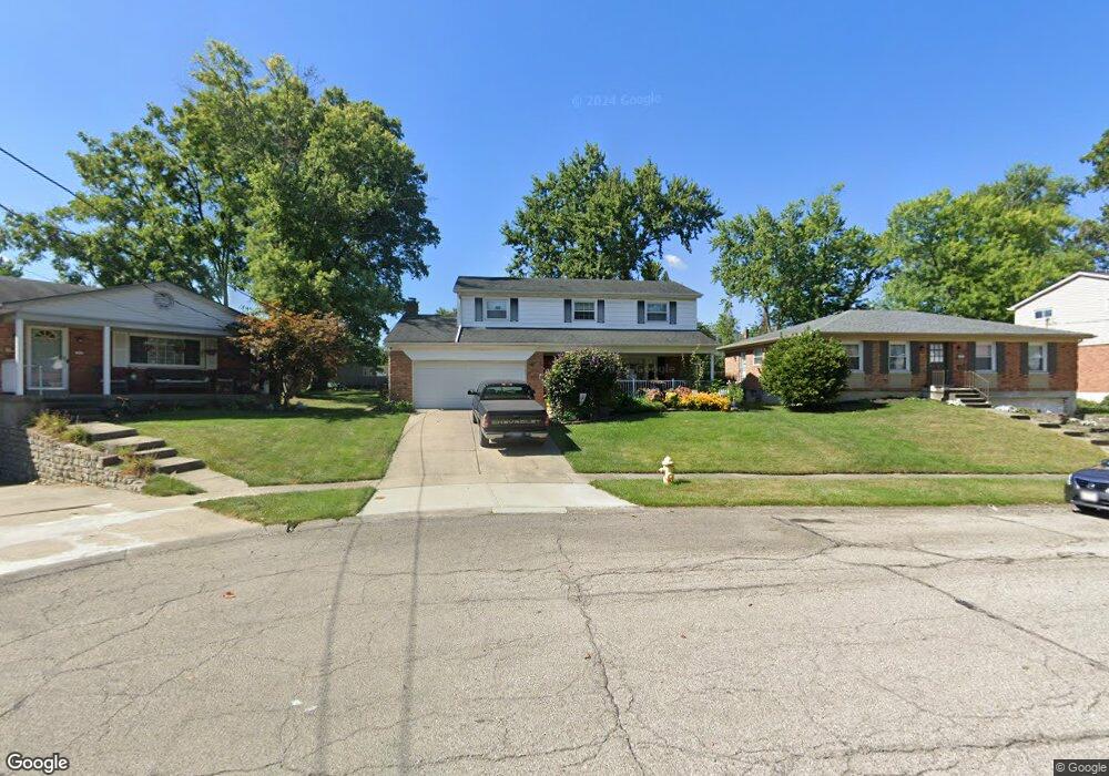
1069 Meadowind Ct Cincinnati, OH 45231
Finneytown NeighborhoodEstimated Value: $259,000 - $316,000
4
Beds
3
Baths
1,869
Sq Ft
$149/Sq Ft
Est. Value
About This Home
This home is located at 1069 Meadowind Ct, Cincinnati, OH 45231 and is currently estimated at $277,734, approximately $148 per square foot. 1069 Meadowind Ct is a home located in Hamilton County with nearby schools including Mt Healthy High School, John Paul II Catholic School, and St. Vivian School.
Ownership History
Date
Name
Owned For
Owner Type
Purchase Details
Closed on
Dec 16, 2003
Sold by
Vilaboy Michael D
Bought by
Vilaboy Nancy A
Current Estimated Value
Purchase Details
Closed on
May 31, 1994
Sold by
Vilaboy Manuel D and Vilaboy Eileen K
Bought by
Vilaboy Michael D and Vilaboy Nancy A
Home Financials for this Owner
Home Financials are based on the most recent Mortgage that was taken out on this home.
Original Mortgage
$83,000
Interest Rate
8.48%
Create a Home Valuation Report for This Property
The Home Valuation Report is an in-depth analysis detailing your home's value as well as a comparison with similar homes in the area
Home Values in the Area
Average Home Value in this Area
Purchase History
| Date | Buyer | Sale Price | Title Company |
|---|---|---|---|
| Vilaboy Nancy A | -- | -- | |
| Vilaboy Michael D | -- | -- |
Source: Public Records
Mortgage History
| Date | Status | Borrower | Loan Amount |
|---|---|---|---|
| Closed | Vilaboy Michael D | $83,000 |
Source: Public Records
Tax History
| Year | Tax Paid | Tax Assessment Tax Assessment Total Assessment is a certain percentage of the fair market value that is determined by local assessors to be the total taxable value of land and additions on the property. | Land | Improvement |
|---|---|---|---|---|
| 2025 | $3,970 | $68,380 | $7,196 | $61,184 |
| 2023 | $3,736 | $68,380 | $7,196 | $61,184 |
| 2022 | $3,700 | $48,769 | $6,048 | $42,721 |
| 2021 | $3,601 | $48,769 | $6,048 | $42,721 |
| 2020 | $3,655 | $48,769 | $6,048 | $42,721 |
| 2019 | $3,312 | $41,328 | $5,124 | $36,204 |
| 2018 | $3,330 | $41,328 | $5,124 | $36,204 |
| 2017 | $3,160 | $41,328 | $5,124 | $36,204 |
| 2016 | $3,160 | $40,734 | $5,562 | $35,172 |
| 2015 | $3,184 | $40,734 | $5,562 | $35,172 |
| 2014 | $3,169 | $40,734 | $5,562 | $35,172 |
| 2013 | $3,042 | $39,935 | $5,453 | $34,482 |
Source: Public Records
Map
Nearby Homes
- 8829 Mockingbird Ln
- 1101 Meadowind Ct
- 8693 Mockingbird Ln
- 1125 Murkett Ct
- 1116 Madeleine Cir
- 8663 Mockingbird Ln
- 1052 Vacationland Dr
- 1115 Compton Rd
- 1123 Compton Rd
- 8990 Mockingbird Ln
- 958 Hollytree Dr
- 1144 Hempstead Dr
- 8609 Balboa Dr
- 1285 Landis Ln
- 8433 Jonfred Ct
- 8491 Daly Rd
- 7352 Clovernook Ave
- 9367 Stoneybrooke Unit 10G
- 9305 Bridgecreek Dr Unit 14A
- 816 Sabino Ct
- 1073 Meadowind Ct
- 1065 Meadowind Ct
- 1116 Tassie Ln
- 1120 Tassie Ln
- 1110 Tassie Ln
- 1062 Meadowind Ct
- 1126 Tassie Ln
- 1106 Tassie Ln
- 1081 Meadowind Ct
- 1070 Meadowind Ct
- 1130 Tassie Ln
- 1066 Meadowind Ct
- 1078 Meadowind Ct
- 1074 Meadowind Ct
- 1136 Tassie Ln
- 1085 Meadowind Ct
- 1100 Tassie Ln
- 1082 Meadowind Ct
- 1115 Tassie Ln
- 1140 Tassie Ln
Your Personal Tour Guide
Ask me questions while you tour the home.