1069 N 300th Rd Baldwin City, KS 66006
Estimated Value: $502,223 - $609,000
3
Beds
3
Baths
2,115
Sq Ft
$263/Sq Ft
Est. Value
About This Home
This home is located at 1069 N 300th Rd, Baldwin City, KS 66006 and is currently estimated at $555,612, approximately $262 per square foot. 1069 N 300th Rd is a home located in Douglas County with nearby schools including Baldwin Elementary Primary Center, Baldwin Elementary Intermediate Center, and Baldwin Junior High School.
Ownership History
Date
Name
Owned For
Owner Type
Purchase Details
Closed on
Jun 11, 2019
Sold by
Kesl Bruce P
Bought by
Clark Ty W and Clark Jennifer
Current Estimated Value
Home Financials for this Owner
Home Financials are based on the most recent Mortgage that was taken out on this home.
Original Mortgage
$263,600
Outstanding Balance
$231,769
Interest Rate
4.1%
Mortgage Type
New Conventional
Estimated Equity
$323,843
Purchase Details
Closed on
Apr 10, 2014
Sold by
Schwalm John T and Schwalm Julianne Marguerite
Bought by
Kesl Bruce P
Home Financials for this Owner
Home Financials are based on the most recent Mortgage that was taken out on this home.
Original Mortgage
$110,000
Interest Rate
4.41%
Mortgage Type
New Conventional
Purchase Details
Closed on
May 3, 2006
Sold by
Schwalm John T and Schwalm Julianne Marguerite
Bought by
Schwalm John T and Schwalm Julianne Marguerite
Create a Home Valuation Report for This Property
The Home Valuation Report is an in-depth analysis detailing your home's value as well as a comparison with similar homes in the area
Home Values in the Area
Average Home Value in this Area
Purchase History
| Date | Buyer | Sale Price | Title Company |
|---|---|---|---|
| Clark Ty W | -- | Security 1St Title | |
| Kesl Bruce P | -- | Executive Title Inc | |
| Schwalm John T | -- | Executive Title Inc |
Source: Public Records
Mortgage History
| Date | Status | Borrower | Loan Amount |
|---|---|---|---|
| Open | Clark Ty W | $263,600 | |
| Previous Owner | Kesl Bruce P | $110,000 |
Source: Public Records
Tax History Compared to Growth
Tax History
| Year | Tax Paid | Tax Assessment Tax Assessment Total Assessment is a certain percentage of the fair market value that is determined by local assessors to be the total taxable value of land and additions on the property. | Land | Improvement |
|---|---|---|---|---|
| 2025 | $4,641 | $43,890 | $3,901 | $39,989 |
| 2024 | $4,641 | $40,530 | $3,628 | $36,902 |
| 2023 | $4,670 | $39,153 | $3,560 | $35,593 |
| 2022 | $4,698 | $37,965 | $3,539 | $34,426 |
| 2021 | $4,140 | $32,826 | $3,463 | $29,363 |
| 2020 | $3,859 | $30,503 | $3,436 | $27,067 |
| 2019 | $3,685 | $29,102 | $3,216 | $25,886 |
| 2018 | $3,683 | $28,924 | $3,140 | $25,784 |
| 2017 | $3,729 | $28,529 | $3,398 | $25,131 |
| 2016 | $3,507 | $27,208 | $1,433 | $25,775 |
| 2015 | $2,920 | $22,615 | $1,403 | $21,212 |
| 2014 | $2,974 | $22,540 | $1,379 | $21,161 |
Source: Public Records
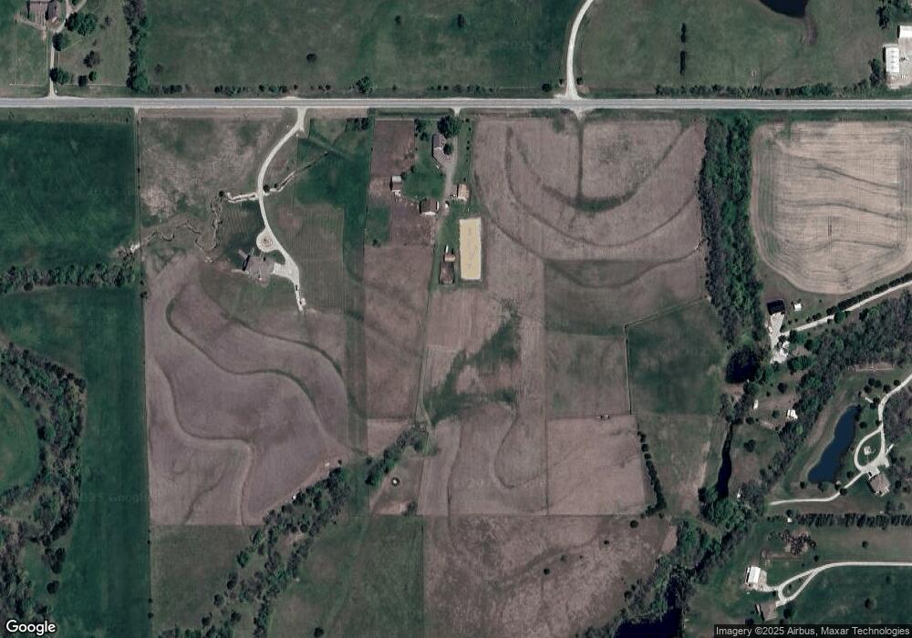
Map
Nearby Homes
- 1077 N 150 Rd
- 10.01 Acres M/L E 1100 Rd
- 1140 N 100th Rd
- 879 N 200 Rd
- 1369 N 550 Rd
- 3540 Woodson Rd
- 1246 N 1 Rd
- 4875 Eisenhower Rd
- 987 N 640 Rd
- 987 N 640th Rd
- 137 E 1400 Rd
- 137 E 1400th Rd
- Parcel 2 N 1 Rd
- Parcel 1 N 1 Rd
- Tract 1 N 680 Rd
- 1580 N 100 Rd
- 1560 N 100 Rd
- 124 E 1550 Rd
- 1580 N 100 Rd Unit Parcel 3
- 1560 N 100 Rd Unit Parcel 2
- 1069 N 300th Rd
- 1065 N 300th Rd
- 1078 N 300th Rd
- 312 E 1044th Rd
- 312 E 1044th Rd
- 287 E 1100 Rd
- 287 E 1100 Rd
- 285 E 1100th Rd
- 285 E 1100 Rd
- 307 E 1100th Rd
- 307 E 1100 Rd
- 307 E 1100 Rd Unit 307
- 1039 N 300th Rd
- 309 E 1100th Rd
- 319 E 1100 Rd
- 319 E 1100 Rd
- 269 E 1100 Rd
- 269 E 1100 Rd
- 308 E 1100 Rd
- 261 E 1100 Rd