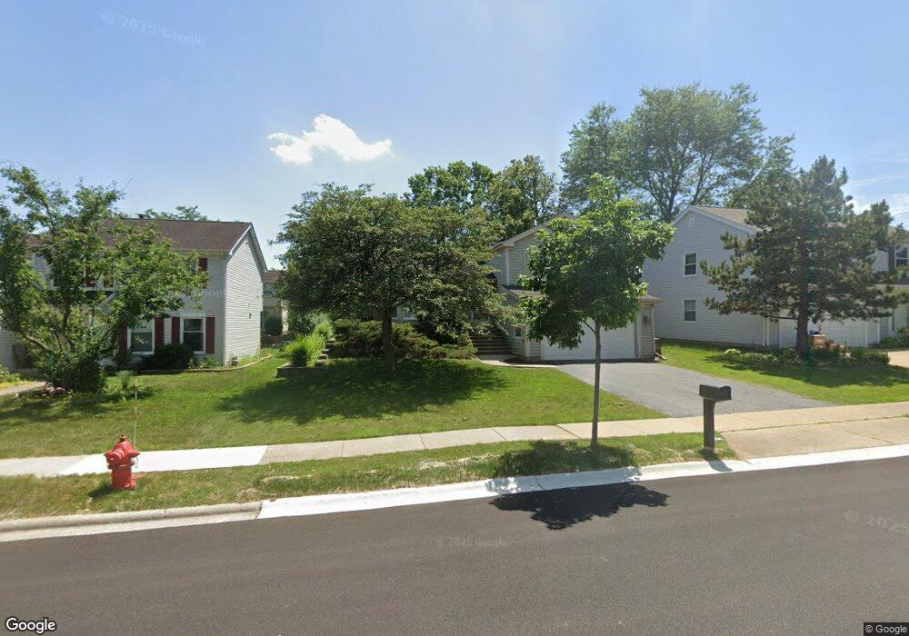
1069 Shady Tree Ln Wheeling, IL 60090
Estimated Value: $418,111 - $496,000
3
Beds
2
Baths
1,644
Sq Ft
$273/Sq Ft
Est. Value
About This Home
This home is located at 1069 Shady Tree Ln, Wheeling, IL 60090 and is currently estimated at $449,028, approximately $273 per square foot. 1069 Shady Tree Ln is a home located in Cook County with nearby schools including Dwight D Eisenhower Elementary School, Anne Sullivan Elementary School, and Betsy Ross Elementary School.
Ownership History
Date
Name
Owned For
Owner Type
Purchase Details
Closed on
Nov 6, 2025
Sold by
Robert O Quinn Living Trust and Mary K Quinn Living Trust
Bought by
Robert O Quinn Living Trust and Quinn
Current Estimated Value
Purchase Details
Closed on
Feb 16, 2017
Sold by
Quinn Robert O and Quinn Mary K
Bought by
Tenants By The Entirety
Create a Home Valuation Report for This Property
The Home Valuation Report is an in-depth analysis detailing your home's value as well as a comparison with similar homes in the area
Home Values in the Area
Average Home Value in this Area
Purchase History
| Date | Buyer | Sale Price | Title Company |
|---|---|---|---|
| Robert O Quinn Living Trust | -- | None Listed On Document | |
| Tenants By The Entirety | -- | None Available |
Source: Public Records
Tax History
| Year | Tax Paid | Tax Assessment Tax Assessment Total Assessment is a certain percentage of the fair market value that is determined by local assessors to be the total taxable value of land and additions on the property. | Land | Improvement |
|---|---|---|---|---|
| 2025 | $8,926 | $40,001 | $8,873 | $31,128 |
| 2024 | $8,926 | $34,001 | $7,508 | $26,493 |
| 2023 | $8,490 | $34,001 | $7,508 | $26,493 |
| 2022 | $8,490 | $34,001 | $7,508 | $26,493 |
| 2021 | $8,167 | $28,657 | $5,118 | $23,539 |
| 2020 | $8,034 | $28,657 | $5,118 | $23,539 |
| 2019 | $8,075 | $31,984 | $5,118 | $26,866 |
| 2018 | $7,960 | $29,130 | $4,436 | $24,694 |
| 2017 | $7,869 | $29,130 | $4,436 | $24,694 |
| 2016 | $7,563 | $29,130 | $4,436 | $24,694 |
| 2015 | $7,189 | $25,339 | $3,924 | $21,415 |
| 2014 | $7,021 | $25,339 | $3,924 | $21,415 |
| 2013 | $6,796 | $25,339 | $3,924 | $21,415 |
Source: Public Records
Map
Nearby Homes
- 1201 Pleasant Run Dr Unit 312
- 1145 Pleasant Run Dr Unit 609
- 1111 Pleasant Run Dr Unit 911
- 1125 Pleasant Run Dr Unit 807
- 988 Ridgefield Ln Unit 54
- 940 Tanglewood Dr
- 1105 N Maple Ln
- 16 Robert Ave
- 1450 Sandpebble Dr Unit 333
- 1525 Sander Ct Unit 113
- 1525 Sander Ct Unit 108
- 1525 Sander Ct Unit 103
- 1550 Sandpebble Dr Unit 209
- 270 Violet Ln
- 200 Violet Ln
- 1033 Wheeling Rd
- 651 Garth Rd
- 802 Andover Ct
- 1211 Highland Dr
- 475 E Merle Ln
- 1079 Shady Tree Ln
- 1059 Shady Tree Ln
- 1068 Pear Tree Ln
- 1058 Pear Tree Ln
- 1078 Pear Tree Ln
- 1089 Shady Tree Ln
- 1057 Shady Tree Ln
- 1064 Shady Tree Ln
- 1048 Pear Tree Ln
- 1084 Shady Tree Ln
- 1047 Shady Tree Ln
- 1038 Pear Tree Ln
- 1044 Shady Tree Ln
- 1099 Shady Tree Ln
- 1055 Honeysuckle Dr
- 1098 Pear Tree Ln
- 1069 Pear Tree Ln
- 1079 Pear Tree Ln
- 1059 Pear Tree Ln
- 1037 Shady Tree Ln
Your Personal Tour Guide
Ask me questions while you tour the home.