1069 Us Route 3 Holderness, NH 03245
Estimated Value: $1,186,000 - $2,002,000
2
Beds
3
Baths
2,534
Sq Ft
$648/Sq Ft
Est. Value
About This Home
This home is located at 1069 Us Route 3, Holderness, NH 03245 and is currently estimated at $1,641,369, approximately $647 per square foot. 1069 Us Route 3 is a home with nearby schools including Holderness Central School and Plymouth Regional High School.
Ownership History
Date
Name
Owned For
Owner Type
Purchase Details
Closed on
Sep 13, 2021
Sold by
K B Ruhm Ret
Bought by
Nelson Christopher
Current Estimated Value
Home Financials for this Owner
Home Financials are based on the most recent Mortgage that was taken out on this home.
Original Mortgage
$1,000,000
Outstanding Balance
$901,955
Interest Rate
2.8%
Mortgage Type
Purchase Money Mortgage
Estimated Equity
$739,414
Create a Home Valuation Report for This Property
The Home Valuation Report is an in-depth analysis detailing your home's value as well as a comparison with similar homes in the area
Home Values in the Area
Average Home Value in this Area
Purchase History
| Date | Buyer | Sale Price | Title Company |
|---|---|---|---|
| Nelson Christopher | $1,250,000 | None Available |
Source: Public Records
Mortgage History
| Date | Status | Borrower | Loan Amount |
|---|---|---|---|
| Open | Nelson Christopher | $1,000,000 |
Source: Public Records
Tax History
| Year | Tax Paid | Tax Assessment Tax Assessment Total Assessment is a certain percentage of the fair market value that is determined by local assessors to be the total taxable value of land and additions on the property. | Land | Improvement |
|---|---|---|---|---|
| 2025 | $13,096 | $1,390,200 | $958,100 | $432,100 |
| 2024 | $12,025 | $1,390,200 | $958,100 | $432,100 |
| 2023 | $11,942 | $1,390,200 | $958,100 | $432,100 |
| 2022 | $11,505 | $1,025,400 | $677,200 | $348,200 |
| 2021 | $12,224 | $1,080,800 | $731,200 | $349,600 |
| 2020 | $9,977 | $734,700 | $467,000 | $267,700 |
| 2019 | $9,676 | $734,700 | $467,000 | $267,700 |
| 2018 | $9,456 | $734,700 | $467,000 | $267,700 |
| 2017 | $10,642 | $750,500 | $492,700 | $257,800 |
| 2016 | $10,642 | $750,500 | $492,700 | $257,800 |
| 2015 | $10,642 | $750,500 | $492,700 | $257,800 |
| 2014 | $10,792 | $750,500 | $492,700 | $257,800 |
| 2011 | $10,160 | $772,000 | $492,700 | $279,300 |
Source: Public Records
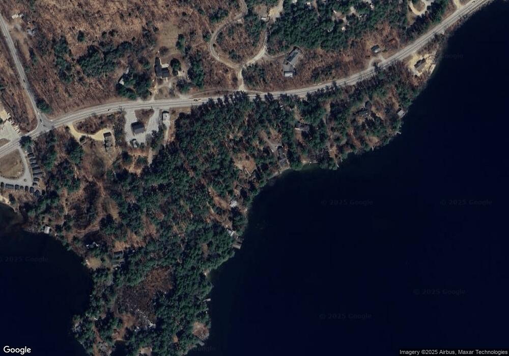
Map
Nearby Homes
- 11 Sebec Rd
- 7 Ledges Rd Unit (aka Unit 79)
- 206 High Country Way Unit (aka Unit 100)
- 283 River St
- 12 Peaked Hill Rd
- 88 Perch Pond Rd
- 121 Riverside Dr
- 384 New Hampshire 113
- 373 New Hampshire Route 175
- 20 Circle Dr Unit 43
- 13 Pine Arden Dr Unit 70
- 148 Sargent Rd
- 000 Smith Rd Unit 2
- 14 Cummings Hill Rd
- 0 Route 3 Unit 5073061
- 14 Heritage Hill Rd
- 15-B Wildflower Ln
- 793 Texas Hill Rd
- 28, 29 &42 Railroad & Main Square
- 0 Oak Ridge Rd Unit 27
- 28 Garland Rd
- 16 Garland Rd
- 406 Squam Lake Rd
- 24 Squam Lake Rd
- 51 Squam Lake Rd
- 15 Squam Lake Rd
- 37 Old Ledge Rd Unit 5
- 37 Old Ledge Rd Unit 3
- 37 Old Ledge Rd
- 14 Garland Rd
- 1079 U S 3
- 35 Old Ledge Rd
- 11 Sebec Road
- 12 Garland Rd
- 1080 U S 3
- 1059 Us Route 3
- 12 High Country Way
- 25 Old Ledge Rd
- 1088 Us Route 3
- 47 Squam Lake Rd
Your Personal Tour Guide
Ask me questions while you tour the home.