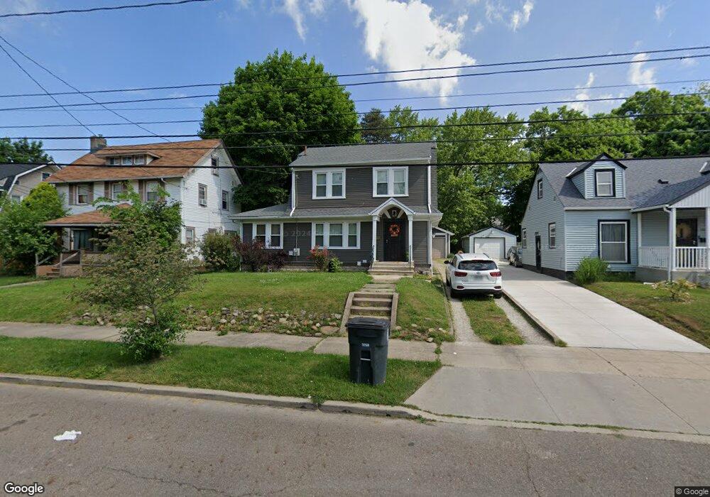
1069 Whittier Ave Akron, OH 44320
West Akron NeighborhoodEstimated Value: $90,915 - $129,000
3
Beds
1
Bath
1,314
Sq Ft
$80/Sq Ft
Est. Value
About This Home
This home is located at 1069 Whittier Ave, Akron, OH 44320 and is currently estimated at $105,729, approximately $80 per square foot. 1069 Whittier Ave is a home located in Summit County with nearby schools including Summit Academy School, Julie Billiart School Akron, and St. Sebastian Parish School.
Ownership History
Date
Name
Owned For
Owner Type
Purchase Details
Closed on
Jun 24, 1998
Sold by
Whatley John L
Bought by
Mccraney Tonya R
Current Estimated Value
Home Financials for this Owner
Home Financials are based on the most recent Mortgage that was taken out on this home.
Original Mortgage
$69,880
Outstanding Balance
$14,248
Interest Rate
7.27%
Mortgage Type
FHA
Estimated Equity
$91,481
Create a Home Valuation Report for This Property
The Home Valuation Report is an in-depth analysis detailing your home's value as well as a comparison with similar homes in the area
Home Values in the Area
Average Home Value in this Area
Purchase History
| Date | Buyer | Sale Price | Title Company |
|---|---|---|---|
| Mccraney Tonya R | $70,000 | -- |
Source: Public Records
Mortgage History
| Date | Status | Borrower | Loan Amount |
|---|---|---|---|
| Open | Mccraney Tonya R | $69,880 |
Source: Public Records
Tax History
| Year | Tax Paid | Tax Assessment Tax Assessment Total Assessment is a certain percentage of the fair market value that is determined by local assessors to be the total taxable value of land and additions on the property. | Land | Improvement |
|---|---|---|---|---|
| 2024 | $1,398 | $24,080 | $6,426 | $17,654 |
| 2023 | $1,398 | $24,080 | $6,426 | $17,654 |
| 2022 | $1,116 | $14,588 | $3,780 | $10,808 |
| 2021 | $1,117 | $14,588 | $3,780 | $10,808 |
| 2020 | $1,102 | $14,590 | $3,780 | $10,810 |
| 2019 | $1,393 | $18,390 | $5,670 | $12,720 |
| 2018 | $1,375 | $18,390 | $5,670 | $12,720 |
| 2017 | $1,396 | $18,390 | $5,670 | $12,720 |
| 2016 | $1,397 | $18,390 | $5,670 | $12,720 |
| 2015 | $1,396 | $18,390 | $5,670 | $12,720 |
| 2014 | $1,385 | $18,390 | $5,670 | $12,720 |
| 2013 | $1,519 | $20,730 | $5,670 | $15,060 |
Source: Public Records
Map
Nearby Homes
- 1021 Delia Ave
- S/L 12 W Sunrise View Dr
- 1153 Sunset View Dr
- 469 Storer Ave
- 1007 Delia Ave
- 978 Delia Ave
- 960 Whittier Ave
- 509 Storer Ave
- 962 Stadelman Ave
- 416 Bacon Ave
- 261 Madison Ave
- 985 Bloomfield Ave
- 325 Grace Ave
- 286 Alhambra Way
- 914 Delia Ave
- 379 Noble Ave
- 343 Madison Ave
- 908 Stadelman Ave
- 931 Amelia Ave
- 404 Noah Ave
- 1063 Whittier Ave
- 1073 Whittier Ave
- 1059 Whittier Ave
- 1079 Whittier Ave
- 1084 Delia Ave
- 1080 Delia Ave
- 1088 Delia Ave
- 1074 Delia Ave
- 1094 Delia Ave
- 1049 Whittier Ave
- 1068 Delia Ave
- 9013 Whittier
- 8989 Whittier
- 1064 Delia Ave
- 415 Storer Ave
- 218 Noble Ave
- 208 Noble Ave
- 222 Noble Ave
- 1058 Delia Ave
- 1085 Delia Ave
Your Personal Tour Guide
Ask me questions while you tour the home.