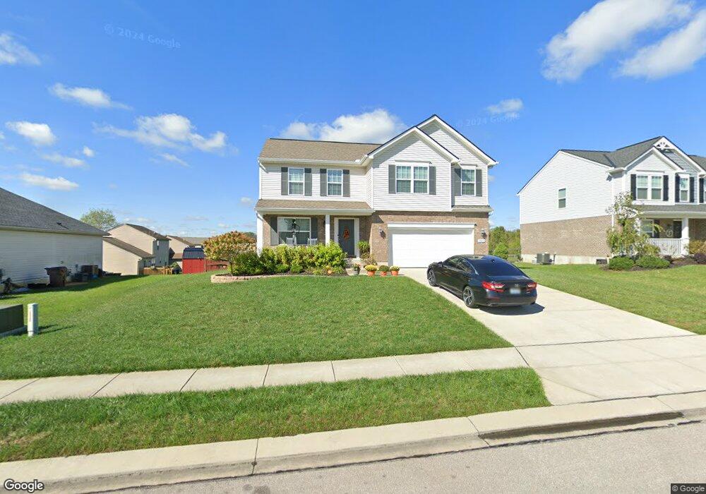
10690 Fremont Dr Independence, KY 41051
Estimated Value: $327,509 - $366,000
4
Beds
3
Baths
--
Sq Ft
9,365
Sq Ft Lot
About This Home
This home is located at 10690 Fremont Dr, Independence, KY 41051 and is currently estimated at $351,627. 10690 Fremont Dr is a home located in Kenton County with nearby schools including Beechgrove Elementary School, Twenhofel Middle School, and Simon Kenton High School.
Ownership History
Date
Name
Owned For
Owner Type
Purchase Details
Closed on
Jun 18, 2020
Sold by
Kopp Kelly Suzanne and Kopp William Dennis
Bought by
Kopp Suzanne and Kopp William Dennis
Current Estimated Value
Purchase Details
Closed on
Apr 27, 2018
Sold by
Arlinghaus Builders Llc
Bought by
Mcdaniel Kelly Suzanne
Home Financials for this Owner
Home Financials are based on the most recent Mortgage that was taken out on this home.
Original Mortgage
$210,000
Interest Rate
4.5%
Mortgage Type
New Conventional
Create a Home Valuation Report for This Property
The Home Valuation Report is an in-depth analysis detailing your home's value as well as a comparison with similar homes in the area
Home Values in the Area
Average Home Value in this Area
Purchase History
| Date | Buyer | Sale Price | Title Company |
|---|---|---|---|
| Kopp Suzanne | -- | 360 American Title Svcs Llc | |
| Mcdaniel Kelly Suzanne | $236,100 | Prominent Title Agency Llc |
Source: Public Records
Mortgage History
| Date | Status | Borrower | Loan Amount |
|---|---|---|---|
| Previous Owner | Mcdaniel Kelly Suzanne | $210,000 |
Source: Public Records
Tax History Compared to Growth
Tax History
| Year | Tax Paid | Tax Assessment Tax Assessment Total Assessment is a certain percentage of the fair market value that is determined by local assessors to be the total taxable value of land and additions on the property. | Land | Improvement |
|---|---|---|---|---|
| 2024 | $2,892 | $236,100 | $30,000 | $206,100 |
| 2023 | $2,980 | $236,100 | $30,000 | $206,100 |
| 2022 | $3,037 | $236,100 | $30,000 | $206,100 |
| 2021 | $3,082 | $236,100 | $30,000 | $206,100 |
| 2020 | $3,147 | $236,100 | $30,000 | $206,100 |
| 2019 | $3,155 | $236,100 | $30,000 | $206,100 |
| 2018 | $469 | $30,000 | $30,000 | $0 |
| 2017 | $382 | $30,000 | $30,000 | $0 |
Source: Public Records
Map
Nearby Homes
- 10720 Hanover Ct
- 660 Ackerly Dr
- 604 Astoria Ct
- 10690 Melbury Ct Unit 305GL
- 10694 Melbury Ct Unit 306GL
- 10724 Melbury Ct Unit 287GL
- The Westchester Plan at The Greens of Glenhurst
- The Ella Marie Plan at The Greens of Glenhurst
- The Jefferson Plan at The Greens of Glenhurst
- The Leighann Plan at The Greens of Glenhurst
- The Waterson Plan at The Greens of Glenhurst
- The Lancaster Plan at The Greens of Glenhurst
- The Austin Plan at The Greens of Glenhurst
- The Morgan Plan at The Greens of Glenhurst
- The Marietta Plan at The Greens of Glenhurst
- The Camden Plan at The Greens of Glenhurst
- The Lincoln Plan at The Greens of Glenhurst
- The Bristol Plan at The Greens of Glenhurst
- The Livingston Plan at The Greens of Glenhurst
- The Madison Plan at The Greens of Glenhurst
- 10686 Fremont Dr
- 10694 Fremont Dr
- 10694 Fremont Dr Unit 400
- 748 Berlander Dr
- 748 Berlander Dr Unit 401
- 10682 Fremont Dr
- 10691 Fremont Dr
- 10687 Fremont Dr
- 744 Berlander Dr
- 744 Berlander Dr Unit 402
- 10695 Fremont Dr
- 10678 Fremont Dr
- 10700 Fremont Dr
- 10683 Fremont Dr
- 110 Berlander Dr
- 112 Berlander Dr
- 113 Berlander Dr
- 104 Berlander Dr
- 105 Berlander Dr
- 100 Berlander Dr