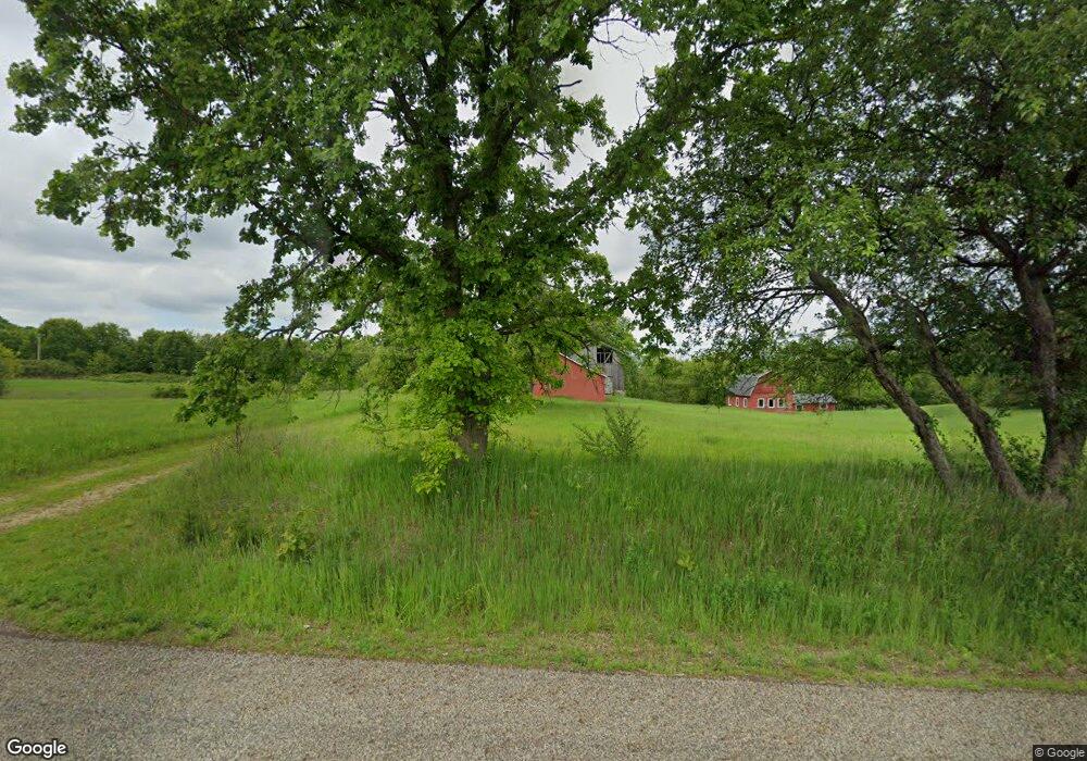
10691 D Dr N Ceresco, MI 49033
Estimated Value: $383,000 - $418,000
4
Beds
3
Baths
1,608
Sq Ft
$248/Sq Ft
Est. Value
About This Home
This home is located at 10691 D Dr N, Ceresco, MI 49033 and is currently estimated at $398,292, approximately $247 per square foot. 10691 D Dr N is a home located in Calhoun County with nearby schools including Harper Creek Middle School and Harper Creek High School.
Ownership History
Date
Name
Owned For
Owner Type
Purchase Details
Closed on
Nov 17, 2023
Sold by
Lakner Denise
Bought by
Lautzenheiser Alvin R and Lautzenheiser Joy L
Current Estimated Value
Home Financials for this Owner
Home Financials are based on the most recent Mortgage that was taken out on this home.
Original Mortgage
$284,000
Outstanding Balance
$279,036
Interest Rate
7.49%
Mortgage Type
New Conventional
Estimated Equity
$119,256
Purchase Details
Closed on
Feb 3, 2023
Sold by
Mcmillon Hoyt
Bought by
Mcmillon Hoyt
Purchase Details
Closed on
Jul 7, 2016
Sold by
Mcmillon Judy Ann and Mcmillon Judy A
Bought by
Mcmillon Hoyt
Create a Home Valuation Report for This Property
The Home Valuation Report is an in-depth analysis detailing your home's value as well as a comparison with similar homes in the area
Home Values in the Area
Average Home Value in this Area
Purchase History
| Date | Buyer | Sale Price | Title Company |
|---|---|---|---|
| Lautzenheiser Alvin R | $355,000 | Ata National Title Group | |
| Lautzenheiser Alvin R | $355,000 | Ata National Title Group | |
| Mcmillon Hoyt | -- | Land Title | |
| Mcmillon Hoyt | -- | Attorney |
Source: Public Records
Mortgage History
| Date | Status | Borrower | Loan Amount |
|---|---|---|---|
| Open | Lautzenheiser Alvin R | $284,000 | |
| Closed | Lautzenheiser Alvin R | $284,000 |
Source: Public Records
Tax History Compared to Growth
Tax History
| Year | Tax Paid | Tax Assessment Tax Assessment Total Assessment is a certain percentage of the fair market value that is determined by local assessors to be the total taxable value of land and additions on the property. | Land | Improvement |
|---|---|---|---|---|
| 2025 | $6,683 | $175,350 | $0 | $0 |
| 2024 | $3,948 | $167,250 | $0 | $0 |
| 2023 | $4,016 | $118,140 | $0 | $0 |
| 2022 | $2,408 | $108,060 | $0 | $0 |
| 2021 | $3,823 | $113,700 | $0 | $0 |
| 2020 | $3,900 | $111,250 | $0 | $0 |
| 2019 | $4,524 | $108,400 | $0 | $0 |
| 2018 | $3,335 | $102,800 | $14,500 | $88,300 |
| 2017 | $3,335 | $101,400 | $0 | $0 |
| 2016 | $3,335 | $96,300 | $0 | $0 |
| 2015 | $2,174 | $91,250 | $20,636 | $70,614 |
| 2014 | $2,174 | $88,900 | $20,636 | $68,264 |
Source: Public Records
Map
Nearby Homes
- 275 Battle Creek St
- 323 Wattles Rd S
- 213 Wattles Rd S
- 0 V L H Dr N
- 11506 11 Mile Rd
- 154 Hidden Forest Rd
- 237 Nixon
- 15627 13 Mile Rd
- 1375 Woodland Beach
- 4371 Council Crest Ln
- 258 Easthill Dr
- 0 E River Rd
- 241 Thelma Dr
- VL Beadle Lake Rd
- 13028 Harper Crossing
- 12460 Beadle Lake Rd
- 840 Wattles Rd N
- 1230 Golden Ave
- 12293 Beadle Lake Rd
- 122 Marsha
- 10719 D Dr N
- 13896 Rivers Edge Way
- 13895 Rivers Edge Way
- 13847 Rivers Edge Way
- 13840 Rivers Edge Way
- 13809 Rivers Edge Way
- 14256 11 Mile Rd N
- 13792 Rivers Edge Way
- 10990 D Dr N
- 13775 Rivers Edge Way
- 13754 Rivers Edge Way
- 10537 D Dr N
- 13753 Rivers Edge Way
- 13742 Rivers Edge Way
- 10341 D Dr N
- 13858 11 Mile Rd
- 13850 11 Mile Rd
- 10339 D Dr N
- 10337 D Dr N
- 13800 11 Mile Rd
