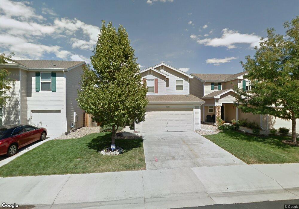
10693 Butte Dr Longmont, CO 80504
Estimated Value: $421,000 - $451,000
3
Beds
4
Baths
1,387
Sq Ft
$310/Sq Ft
Est. Value
About This Home
This home is located at 10693 Butte Dr, Longmont, CO 80504 and is currently estimated at $430,119, approximately $310 per square foot. 10693 Butte Dr is a home located in Weld County with nearby schools including Centennial Elementary School, Coal Ridge Middle School, and Mead High School.
Ownership History
Date
Name
Owned For
Owner Type
Purchase Details
Closed on
Nov 19, 2002
Sold by
Kb Home Colorado Inc
Bought by
West Michael W and West Brenda K
Current Estimated Value
Home Financials for this Owner
Home Financials are based on the most recent Mortgage that was taken out on this home.
Original Mortgage
$151,950
Outstanding Balance
$63,036
Interest Rate
5.89%
Estimated Equity
$367,083
Create a Home Valuation Report for This Property
The Home Valuation Report is an in-depth analysis detailing your home's value as well as a comparison with similar homes in the area
Home Values in the Area
Average Home Value in this Area
Purchase History
| Date | Buyer | Sale Price | Title Company |
|---|---|---|---|
| West Michael W | $189,939 | -- |
Source: Public Records
Mortgage History
| Date | Status | Borrower | Loan Amount |
|---|---|---|---|
| Open | West Michael W | $151,950 |
Source: Public Records
Tax History Compared to Growth
Tax History
| Year | Tax Paid | Tax Assessment Tax Assessment Total Assessment is a certain percentage of the fair market value that is determined by local assessors to be the total taxable value of land and additions on the property. | Land | Improvement |
|---|---|---|---|---|
| 2025 | $2,343 | $26,140 | $5,380 | $20,760 |
| 2024 | $2,343 | $26,140 | $5,380 | $20,760 |
| 2023 | $2,247 | $28,920 | $5,820 | $23,100 |
| 2022 | $1,982 | $21,040 | $4,450 | $16,590 |
| 2021 | $2,020 | $21,650 | $4,580 | $17,070 |
| 2020 | $1,942 | $21,000 | $3,040 | $17,960 |
| 2019 | $1,964 | $21,000 | $3,040 | $17,960 |
| 2018 | $1,574 | $17,030 | $3,020 | $14,010 |
| 2017 | $1,511 | $17,030 | $3,020 | $14,010 |
| 2016 | $1,190 | $13,330 | $2,150 | $11,180 |
| 2015 | $1,151 | $13,330 | $2,150 | $11,180 |
| 2014 | $932 | $10,810 | $1,990 | $8,820 |
Source: Public Records
Map
Nearby Homes
- 10688 Durango Place
- 10691 Durango Place
- 10592 Butte Dr
- 10910 Turner Blvd Unit 203
- 10910 Turner Blvd Unit 127
- 10752 County Road 7
- 0 Del Camino Business Park Lot 1 Unit 986024
- 9746 County Road 7
- 4616 Tilbury Ct
- 10555 Aspen St Unit 198
- 10684 Aspen St
- 10684 Aspen St Unit 72
- 10529 Bald Eagle Cir Unit 394
- 10529 Bald Eagle Cir
- 4795 Audrey St Unit 260
- 10611 Barron Cir Unit 426
- 10597 Bald Eagle Cir Unit 244
- 10574 Bald Eagle Cir
- 0 County Road 5 1 2
- 4768 Silverleaf Ave
- 10691 Butte Dr
- 10697 Butte Dr
- 10689 Butte Dr
- 10687 Butte Dr
- 10692 Butte Dr
- 10694 Butte Dr
- 10690 Butte Dr
- 10696 Butte Dr
- 10688 Butte Dr
- 10701 Butte Dr
- 10698 Butte Dr
- 10685 Butte Dr
- 10677 Durango Place
- 10679 Durango Place
- 10700 Butte Dr
- 10675 Durango Place
- 10681 Durango Place
- 10682 Butte Dr
- 10683 Butte Dr
- 10683 Durango Place