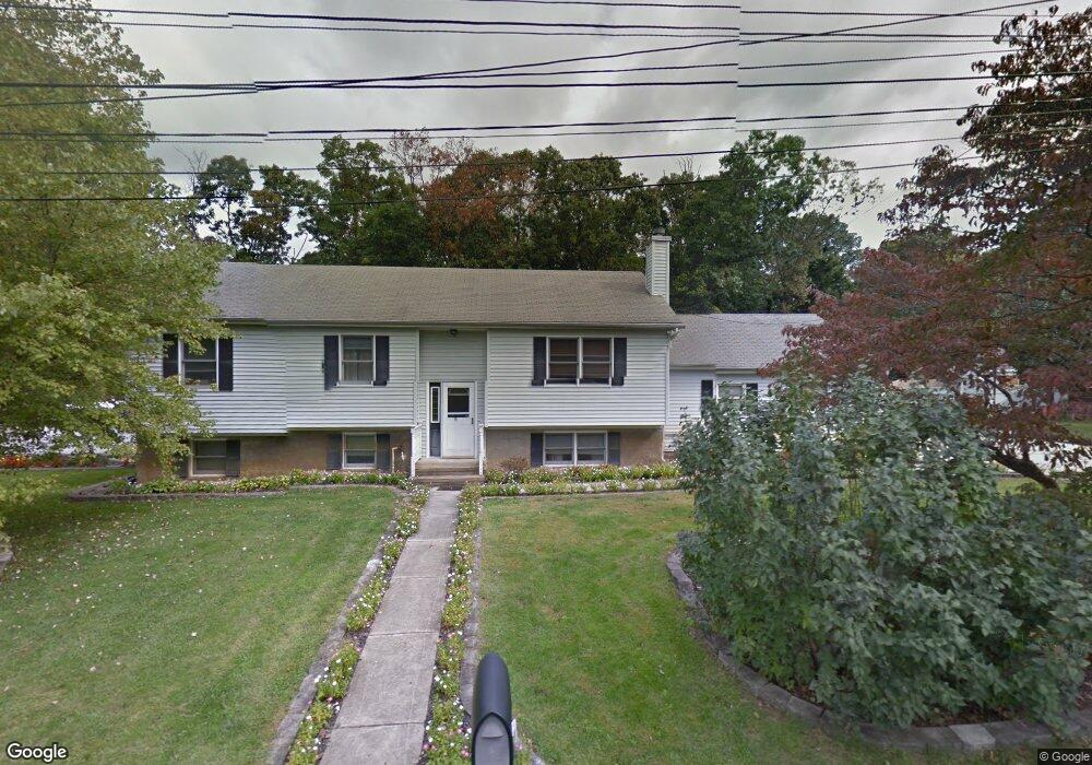
107 Adams Ave Mantua, NJ 08051
Mantua Township NeighborhoodEstimated Value: $403,000 - $538,000
--
Bed
--
Bath
2,496
Sq Ft
$182/Sq Ft
Est. Value
About This Home
This home is located at 107 Adams Ave, Mantua, NJ 08051 and is currently estimated at $455,190, approximately $182 per square foot. 107 Adams Ave is a home located in Gloucester County with nearby schools including Centre City School, Clearview Regional Middle School, and Clearview Regional High School.
Ownership History
Date
Name
Owned For
Owner Type
Purchase Details
Closed on
Sep 3, 2010
Sold by
Vassallo Philip and Vassallo Kimberly
Bought by
Vassallo Kimberly A
Current Estimated Value
Home Financials for this Owner
Home Financials are based on the most recent Mortgage that was taken out on this home.
Original Mortgage
$210,000
Interest Rate
4.55%
Mortgage Type
New Conventional
Create a Home Valuation Report for This Property
The Home Valuation Report is an in-depth analysis detailing your home's value as well as a comparison with similar homes in the area
Home Values in the Area
Average Home Value in this Area
Purchase History
| Date | Buyer | Sale Price | Title Company |
|---|---|---|---|
| Vassallo Kimberly A | -- | Landis Title Corporation |
Source: Public Records
Mortgage History
| Date | Status | Borrower | Loan Amount |
|---|---|---|---|
| Closed | Vassallo Kimberly A | $210,000 |
Source: Public Records
Tax History Compared to Growth
Tax History
| Year | Tax Paid | Tax Assessment Tax Assessment Total Assessment is a certain percentage of the fair market value that is determined by local assessors to be the total taxable value of land and additions on the property. | Land | Improvement |
|---|---|---|---|---|
| 2025 | $8,840 | $343,300 | $74,700 | $268,600 |
| 2024 | $8,747 | $343,300 | $74,700 | $268,600 |
| 2023 | $8,747 | $343,300 | $74,700 | $268,600 |
| 2022 | $9,032 | $258,200 | $57,700 | $200,500 |
| 2021 | $9,099 | $258,200 | $57,700 | $200,500 |
| 2020 | $8,950 | $256,000 | $57,700 | $198,300 |
| 2019 | $8,799 | $256,000 | $57,700 | $198,300 |
| 2018 | $8,673 | $256,000 | $57,700 | $198,300 |
| 2017 | $8,543 | $256,000 | $57,700 | $198,300 |
| 2016 | $8,445 | $256,000 | $57,700 | $198,300 |
| 2015 | $8,238 | $256,000 | $57,700 | $198,300 |
| 2014 | $7,962 | $256,000 | $57,700 | $198,300 |
Source: Public Records
Map
Nearby Homes
- 325 Bridgeton Pike
- 8 Barry Dr
- 119 Monroe Ave
- 1433 Tristram Cir
- 1215 Tristram Cir
- 204 W Landing Rd
- 261 Tony Cir
- 1145 Tristram Cir
- 1147 Tristram Cir Unit 1147
- 485 Harrison Ave
- 1134 Tristram Cir Unit 4
- 1121 Tristram Cir Unit 1
- 36 Bluebird Rd
- 26 Woodstream Ct
- 19 Marathon Dr
- 190 Mockingbird Ln
- 205 Redbud Ln Unit 205
- 131 Firth Dr
- 433 Berkley Rd
- 155 Whippoorwill Way
- 105 Adams Ave
- 118 Washington Ave
- 116 Washington Ave
- 109 Adams Ave
- 114 Washington Ave
- 103 Adams Ave
- 120 Washington Ave
- 106 Adams Ave
- 111 Adams Ave
- 112 Washington Ave
- 108 Adams Ave
- 115 Washington Ave
- 113 Washington Ave
- 112 Adams Ave
- 117 Washington Ave
- 111 Washington Ave
- 319 Bridgeton Pike
- 319 Bridgeton Pike Unit 3 LOTS
- 301 Bridgeton Pike
- 119 Hampton Ave