107 Bowie Dr Gainesville, TX 76240
Estimated Value: $355,697 - $376,000
3
Beds
2
Baths
1,588
Sq Ft
$230/Sq Ft
Est. Value
About This Home
This home is located at 107 Bowie Dr, Gainesville, TX 76240 and is currently estimated at $365,899, approximately $230 per square foot. 107 Bowie Dr is a home located in Cooke County with nearby schools including Callisburg Elementary School, Callisburg Middle School, and Callisburg High School.
Ownership History
Date
Name
Owned For
Owner Type
Purchase Details
Closed on
Aug 30, 2012
Sold by
Gorham Gary and Gorham Carolyn
Bought by
Jones William Daniel
Current Estimated Value
Purchase Details
Closed on
Dec 27, 2005
Sold by
Pitts Phyllis
Bought by
Gorilam Gary and Gorilam Carolyn
Home Financials for this Owner
Home Financials are based on the most recent Mortgage that was taken out on this home.
Original Mortgage
$114,000
Interest Rate
6.3%
Create a Home Valuation Report for This Property
The Home Valuation Report is an in-depth analysis detailing your home's value as well as a comparison with similar homes in the area
Purchase History
| Date | Buyer | Sale Price | Title Company |
|---|---|---|---|
| Jones William Daniel | -- | None Available | |
| Gorilam Gary | -- | -- |
Source: Public Records
Mortgage History
| Date | Status | Borrower | Loan Amount |
|---|---|---|---|
| Previous Owner | Gorilam Gary | $114,000 |
Source: Public Records
Tax History
| Year | Tax Paid | Tax Assessment Tax Assessment Total Assessment is a certain percentage of the fair market value that is determined by local assessors to be the total taxable value of land and additions on the property. | Land | Improvement |
|---|---|---|---|---|
| 2025 | $2,661 | $298,085 | $87,954 | $233,951 |
| 2024 | $2,661 | $331,106 | $87,980 | $243,126 |
| 2023 | $3,145 | $246,351 | $69,790 | $242,481 |
| 2022 | $3,322 | $283,040 | $64,590 | $218,450 |
| 2021 | $3,723 | $203,595 | $38,113 | $165,482 |
| 2020 | $3,827 | $196,366 | $35,906 | $160,460 |
| 2019 | $3,491 | $187,286 | $35,906 | $151,380 |
| 2018 | $3,191 | $167,266 | $35,906 | $131,360 |
| 2017 | $2,928 | $148,099 | $22,874 | $125,225 |
| 2015 | $2,379 | $135,975 | $20,038 | $115,937 |
| 2014 | $2,379 | $133,076 | $18,038 | $115,038 |
Source: Public Records
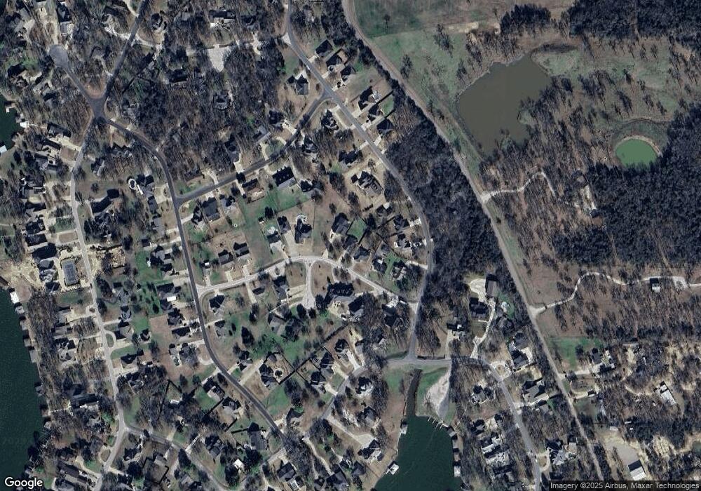
Map
Nearby Homes
- 111 Bowie Dr
- 102 Bowie Cove
- 102 Santee Dr
- 716 Kiowa Dr E
- 1125 Kiowa Dr E
- 116 Seminole Dr
- 114 Seminole Dr
- 827 Kiowa Dr W
- 329 Comanche Dr
- 1214 Kiowa Dr E
- 600 Kiowa Dr E
- 104 Navajo Trail
- 912 Kiowa Dr W
- 104 Pontiac Dr
- 111 Lone Star Dr
- 822 Kiowa Dr W
- 102 Huron Trail
- 736 Kiowa Dr W
- Lot 2 Apache Cove
- Lot 3 Apache Cove
Your Personal Tour Guide
Ask me questions while you tour the home.