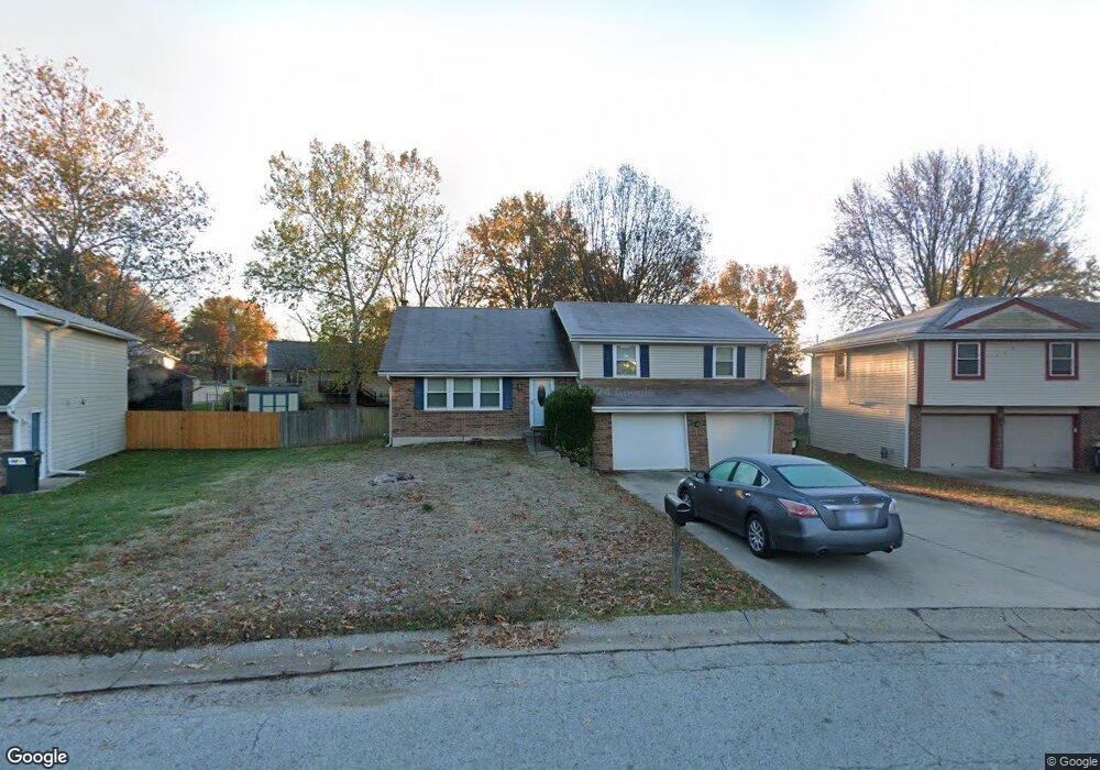
107 Brookridge St Lansing, KS 66043
Estimated Value: $281,000 - $322,000
4
Beds
3
Baths
1,352
Sq Ft
$226/Sq Ft
Est. Value
About This Home
This home is located at 107 Brookridge St, Lansing, KS 66043 and is currently estimated at $305,064, approximately $225 per square foot. 107 Brookridge St is a home located in Leavenworth County with nearby schools including Lansing Elementary School, Lansing Middle 6-8, and Lansing High 9-12.
Ownership History
Date
Name
Owned For
Owner Type
Purchase Details
Closed on
Mar 2, 2022
Sold by
Clampitt Adam O and Clampitt April R
Bought by
Clampitt Adam O and Clampitt April R
Current Estimated Value
Purchase Details
Closed on
Oct 18, 2011
Sold by
Newton Timothy R and Newton Janice E
Bought by
Clampitt Adam O and Shore April R
Home Financials for this Owner
Home Financials are based on the most recent Mortgage that was taken out on this home.
Original Mortgage
$142,500
Interest Rate
4.28%
Mortgage Type
New Conventional
Create a Home Valuation Report for This Property
The Home Valuation Report is an in-depth analysis detailing your home's value as well as a comparison with similar homes in the area
Home Values in the Area
Average Home Value in this Area
Purchase History
| Date | Buyer | Sale Price | Title Company |
|---|---|---|---|
| Clampitt Adam O | -- | Kansas Secured Title | |
| Clampitt Adam O | $178,125 | Tri-County Title & Abstract Ll |
Source: Public Records
Mortgage History
| Date | Status | Borrower | Loan Amount |
|---|---|---|---|
| Previous Owner | Clampitt Adam O | $142,500 |
Source: Public Records
Tax History
| Year | Tax Paid | Tax Assessment Tax Assessment Total Assessment is a certain percentage of the fair market value that is determined by local assessors to be the total taxable value of land and additions on the property. | Land | Improvement |
|---|---|---|---|---|
| 2025 | $4,083 | $31,153 | $5,774 | $25,379 |
| 2024 | $3,768 | $30,583 | $4,578 | $26,005 |
| 2023 | $3,768 | $29,158 | $4,578 | $24,580 |
| 2022 | $3,624 | $26,507 | $3,551 | $22,956 |
| 2021 | $3,318 | $23,115 | $3,551 | $19,564 |
| 2020 | $3,160 | $21,677 | $3,551 | $18,126 |
| 2019 | $3,091 | $21,183 | $3,551 | $17,632 |
| 2018 | $2,874 | $19,723 | $2,949 | $16,774 |
| 2017 | $2,711 | $18,584 | $2,949 | $15,635 |
| 2016 | $2,685 | $18,400 | $2,949 | $15,451 |
| 2015 | $2,677 | $18,400 | $2,949 | $15,451 |
| 2014 | $2,622 | $18,400 | $2,949 | $15,451 |
Source: Public Records
Map
Nearby Homes
- 20958 Ida St
- 713 Englewood St
- 130 Hampton Ct
- 860 Meadowlark Ct
- 129 Crestview Ct
- 900 Oakmont Dr
- 124 S Main St
- 202 S Main St
- 26731 147th St
- 1017 Pebble Beach Dr
- 134 Debra St
- 218 E Kay St
- Lot 2 Eisenhower Rd
- 1102 N Main St
- 4 Eisenhower Rd
- 1100 N 4th St
- 728 Eisenhower Rd
- 1102 N 4th St
- 811 4-H Rd
- 522 Forestglen Ln
- 105 Brookridge St
- 109 Brookridge St
- 116 Bittersweet Ln
- 627 Ida St
- 108 Bittersweet Ln
- 111 Brookridge St
- 600 Ida St
- 106 Brookridge St
- 132 Bittersweet Ln
- 113 Brookridge St
- 112 Brookridge St
- 102 Ferncliff St
- 200 Bittersweet Ln
- 701 Ida St
- 519 Oakbrook Dr
- 115 Brookridge St
- 516 Ida St
- 103 Ferncliff St
- 120 S Brookridge St
- 104 Ferncliff St
Your Personal Tour Guide
Ask me questions while you tour the home.