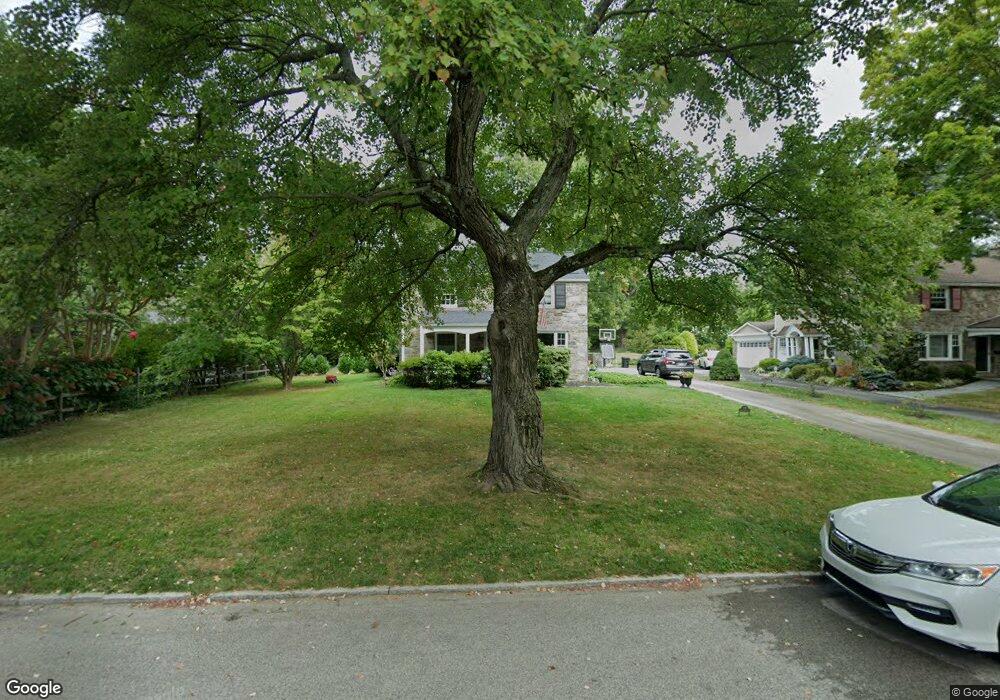
107 Browning Ln Bryn Mawr, PA 19010
Rosemont NeighborhoodEstimated Value: $1,151,866 - $1,604,000
4
Beds
3
Baths
2,060
Sq Ft
$657/Sq Ft
Est. Value
About This Home
This home is located at 107 Browning Ln, Bryn Mawr, PA 19010 and is currently estimated at $1,352,717, approximately $656 per square foot. 107 Browning Ln is a home located in Delaware County with nearby schools including Radnor El School, Radnor Middle School, and Radnor Senior High School.
Ownership History
Date
Name
Owned For
Owner Type
Purchase Details
Closed on
Sep 7, 2017
Sold by
Beston Francis J and Beston Marguerite R
Bought by
Elger Michael C and Elger Alison V
Current Estimated Value
Home Financials for this Owner
Home Financials are based on the most recent Mortgage that was taken out on this home.
Original Mortgage
$550,000
Outstanding Balance
$459,166
Interest Rate
3.89%
Mortgage Type
New Conventional
Estimated Equity
$893,551
Purchase Details
Closed on
Apr 26, 1966
Bought by
Beston Francis J
Create a Home Valuation Report for This Property
The Home Valuation Report is an in-depth analysis detailing your home's value as well as a comparison with similar homes in the area
Home Values in the Area
Average Home Value in this Area
Purchase History
| Date | Buyer | Sale Price | Title Company |
|---|---|---|---|
| Elger Michael C | $720,000 | Trident Land Transfer Compan | |
| Beston Francis J | -- | -- |
Source: Public Records
Mortgage History
| Date | Status | Borrower | Loan Amount |
|---|---|---|---|
| Open | Elger Michael C | $550,000 |
Source: Public Records
Tax History Compared to Growth
Tax History
| Year | Tax Paid | Tax Assessment Tax Assessment Total Assessment is a certain percentage of the fair market value that is determined by local assessors to be the total taxable value of land and additions on the property. | Land | Improvement |
|---|---|---|---|---|
| 2025 | $13,061 | $645,990 | $219,670 | $426,320 |
| 2024 | $13,061 | $645,990 | $219,670 | $426,320 |
| 2023 | $12,543 | $645,990 | $219,670 | $426,320 |
| 2022 | $12,406 | $645,990 | $219,670 | $426,320 |
| 2021 | $19,011 | $616,270 | $219,670 | $396,600 |
| 2020 | $9,606 | $276,140 | $125,050 | $151,090 |
| 2019 | $9,335 | $276,140 | $125,050 | $151,090 |
| 2018 | $9,152 | $276,140 | $0 | $0 |
| 2017 | $8,960 | $276,140 | $0 | $0 |
| 2016 | $1,515 | $276,140 | $0 | $0 |
| 2015 | $1,546 | $276,140 | $0 | $0 |
| 2014 | $1,546 | $276,140 | $0 | $0 |
Source: Public Records
Map
Nearby Homes
- 219 S Ithan Ave
- 7 Lockwood Ln
- 8 Lockwood Ln
- 4 Lockwood Ln
- 3 Lockwood Ln
- 200 S Ithan Ave
- 12 Lockwood Ln
- 15 Lockwood Ln
- 117 Debaran Ln
- 13 Barley Cone Ln
- 221 Fitzwilliams Rd
- 223 Fitzwilliams Rd
- 406 Barclay Rd
- 12 Lowrys Ln
- 329 Williams Rd
- 200 Hilldale Rd
- 4 Lowrys Ln
- 168 Woodstock Rd
- 109 Willowburn Rd
- 101 Highfield Rd
- 109 Browning Ln
- 105 Browning Ln
- 111 Browning Ln
- 103 Browning Ln
- 221 S Ithan Ave
- 217 S Ithan Ave
- 207 S Ithan Ave
- 29 Meadowood Rd
- 27 Meadowood Rd
- 231 S Ithan Ave
- 113 Browning Ln
- 108 Browning Ln
- 25 Meadowood Rd
- 110 Browning Ln
- 106 Browning Ln
- 112 Browning Ln
- 23 Meadowood Rd
- 241 S Ithan Ave
- 201 S Ithan Ave
- 104 Browning Ln