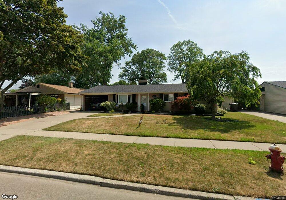
107 Burnside Dr Tonawanda, NY 14150
Colvin Estates NeighborhoodEstimated Value: $243,000 - $287,000
3
Beds
2
Baths
1,391
Sq Ft
$190/Sq Ft
Est. Value
About This Home
This home is located at 107 Burnside Dr, Tonawanda, NY 14150 and is currently estimated at $264,283, approximately $189 per square foot. 107 Burnside Dr is a home located in Erie County with nearby schools including Thomas A. Edison Elementary School, Ben Franklin Middle School, and Kenmore East Senior High School.
Ownership History
Date
Name
Owned For
Owner Type
Purchase Details
Closed on
Jun 25, 2014
Sold by
Gugliuzza Nicholas
Bought by
Mackinnon Kathleen
Current Estimated Value
Purchase Details
Closed on
Jun 22, 2010
Sold by
Hulpiau Agnes
Bought by
Gugliuzza Nicholas
Home Financials for this Owner
Home Financials are based on the most recent Mortgage that was taken out on this home.
Original Mortgage
$114,458
Interest Rate
5.12%
Mortgage Type
FHA
Purchase Details
Closed on
Aug 4, 1997
Sold by
Mylar Rosalie C
Bought by
Hulpiau Agnes
Create a Home Valuation Report for This Property
The Home Valuation Report is an in-depth analysis detailing your home's value as well as a comparison with similar homes in the area
Home Values in the Area
Average Home Value in this Area
Purchase History
| Date | Buyer | Sale Price | Title Company |
|---|---|---|---|
| Mackinnon Kathleen | $132,000 | None Available | |
| Gugliuzza Nicholas | $116,000 | None Available | |
| Hulpiau Agnes | $75,000 | -- |
Source: Public Records
Mortgage History
| Date | Status | Borrower | Loan Amount |
|---|---|---|---|
| Previous Owner | Gugliuzza Nicholas | $114,458 |
Source: Public Records
Tax History Compared to Growth
Tax History
| Year | Tax Paid | Tax Assessment Tax Assessment Total Assessment is a certain percentage of the fair market value that is determined by local assessors to be the total taxable value of land and additions on the property. | Land | Improvement |
|---|---|---|---|---|
| 2024 | $5,492 | $44,900 | $7,700 | $37,200 |
| 2023 | $5,363 | $44,900 | $7,700 | $37,200 |
| 2022 | $5,063 | $44,900 | $7,700 | $37,200 |
| 2021 | $5,045 | $44,900 | $7,700 | $37,200 |
| 2020 | $4,248 | $44,900 | $7,700 | $37,200 |
| 2019 | $4,142 | $44,900 | $7,700 | $37,200 |
| 2018 | $4,120 | $44,900 | $7,700 | $37,200 |
| 2017 | $4,098 | $44,900 | $7,700 | $37,200 |
| 2016 | $3,958 | $44,900 | $7,700 | $37,200 |
| 2015 | -- | $44,900 | $7,700 | $37,200 |
| 2014 | -- | $44,900 | $7,700 | $37,200 |
Source: Public Records
Map
Nearby Homes
- 144 Heritage Rd
- 40 Dale Dr
- 214 Heritage Rd
- 27 Greenfield Dr
- 52 Briarlee Dr
- 66 Willowgrove Ct
- 199 Willowgrove S
- 187 Willowgrove S
- 90 Frederick Rd
- 2324 Parker Blvd
- 264 Willowbend Rd
- 134 Kingsbury Ln
- 1067 Woodstock Ave
- 50 Woodmere Dr
- 93 Rockland Rd
- 59 Idlewood Dr
- 104 Greentree Rd
- 47 Brookville Dr
- 39 Westfall Dr
- 83 Millwood Dr
- 111 Burnside Dr
- 101 Burnside Dr
- 120 Heritage Rd
- 95 Burnside Dr
- 119 Burnside Dr
- 126 Heritage Rd
- 112 Heritage Rd
- 130 Heritage Rd
- 108 Burnside Dr
- 106 Heritage Rd
- 114 Burnside Dr
- 102 Burnside Dr
- 125 Burnside Dr
- 120 Burnside Dr
- 96 Burnside Dr
- 138 Heritage Rd
- 100 Heritage Rd
- 131 Burnside Dr
- 83 Burnside Dr
- 90 Burnside Dr