107 Camp Townsend Rd Townsend, TN 37882
Estimated Value: $1,324,242 - $1,476,000
--
Bed
1
Bath
2,891
Sq Ft
$487/Sq Ft
Est. Value
About This Home
This home is located at 107 Camp Townsend Rd, Townsend, TN 37882 and is currently estimated at $1,408,081, approximately $487 per square foot. 107 Camp Townsend Rd is a home with nearby schools including Townsend Elementary School, Heritage Middle School, and Heritage High School.
Ownership History
Date
Name
Owned For
Owner Type
Purchase Details
Closed on
Aug 26, 2024
Sold by
Crawford Michael T and Crawford Mary
Bought by
Marous Homestead Llc
Current Estimated Value
Purchase Details
Closed on
Aug 23, 2018
Sold by
Crawford Michael T
Bought by
Crawford Mcihael T and Crawford L
Purchase Details
Closed on
Nov 7, 1991
Bought by
Heinsohn Richard J and Heinsohn Penni
Create a Home Valuation Report for This Property
The Home Valuation Report is an in-depth analysis detailing your home's value as well as a comparison with similar homes in the area
Home Values in the Area
Average Home Value in this Area
Purchase History
| Date | Buyer | Sale Price | Title Company |
|---|---|---|---|
| Marous Homestead Llc | $1,130,000 | Maryville Title | |
| Crawford Mcihael T | -- | -- | |
| Heinsohn Richard J | -- | -- |
Source: Public Records
Tax History Compared to Growth
Tax History
| Year | Tax Paid | Tax Assessment Tax Assessment Total Assessment is a certain percentage of the fair market value that is determined by local assessors to be the total taxable value of land and additions on the property. | Land | Improvement |
|---|---|---|---|---|
| 2025 | $5,515 | $317,500 | $0 | $0 |
| 2024 | $5,515 | $346,875 | $115,050 | $231,825 |
| 2023 | $5,515 | $346,875 | $115,050 | $231,825 |
| 2022 | $6,134 | $248,325 | $103,000 | $145,325 |
| 2021 | $6,134 | $248,325 | $103,000 | $145,325 |
| 2020 | $6,134 | $248,325 | $103,000 | $145,325 |
| 2019 | $6,134 | $248,325 | $103,000 | $145,325 |
| 2018 | $6,433 | $260,450 | $124,225 | $136,225 |
| 2017 | $6,433 | $260,450 | $124,225 | $136,225 |
| 2016 | $6,433 | $260,450 | $124,225 | $136,225 |
| 2015 | $4,210 | $260,450 | $124,225 | $136,225 |
| 2014 | $4,210 | $260,450 | $124,225 | $136,225 |
| 2013 | $4,210 | $263,150 | $0 | $0 |
Source: Public Records
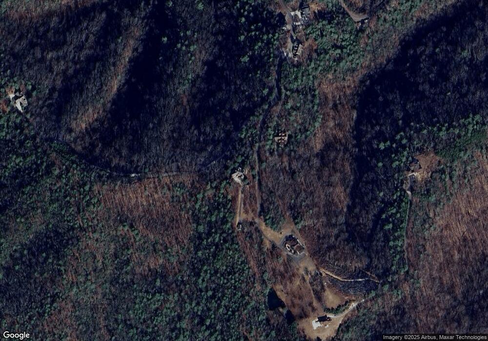
Map
Nearby Homes
- Lot 20 Slate Quarry Point Rd
- 561 Laurel Rd
- 0 Hound Run Dr Unit 1160671
- 215 Tree Frog Trace
- 0 Cooper Hollow Rd
- 319 Rainbow Cir
- 433 Laurel Rd
- 330 Rainbow Cir
- 409 Laurel Trace Rd
- 651 Hawk View Dr
- 405 Laurel Trace Rd
- 516 Clearwater Cir
- 106 Fairway Cir
- 380 Laurel Rd
- 720 Hunters Run Rd
- 670 Hawk View Dr
- 731 Hunters Run Rd
- 413 Settlers Rise Rd
- 620 Hawk View Dr
- 735 Hunters Run Rd
- 341 Kelly Ridge Rd
- 0 Camp Townsend Rd
- 100 Camp Townsend Rd
- 331 Kelly Ridge Rd
- 322 Kelly Ridge Rd
- 0 Kelley Ridge Rd
- 319 Kelly Ridge Rd
- 368 Hounds Run Rd
- 0 Slate Quarry Point Rd Unit 860408
- 0 Slate Quarry Point Rd Unit 911570
- 0 Slate Quarry Point Rd Unit 976454
- 309 Slate Quarry Point Rd
- 456 Mineral Springs Rd
- 308 Slate Quarry Point Rd
- Tbd Kelley Ridge Rd
- 0 Kelley Ridge
- 260 High Springs Trail
- Lt. 22 Kelly Ridge Rd
- 0 Kelly Ridge Rd
- 0 Lot 20 Slate Quarry Rd Unit 1040599