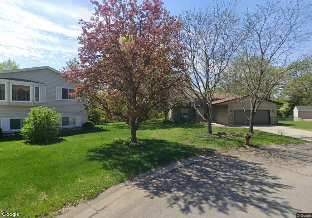
107 Chestnut Cir Big Lake, MN 55309
Estimated Value: $289,000 - $338,000
3
Beds
2
Baths
1,027
Sq Ft
$300/Sq Ft
Est. Value
About This Home
This home is located at 107 Chestnut Cir, Big Lake, MN 55309 and is currently estimated at $308,568, approximately $300 per square foot. 107 Chestnut Cir is a home located in Sherburne County with nearby schools including Liberty Elementary School, Independence Elementary School, and Big Lake Middle School.
Ownership History
Date
Name
Owned For
Owner Type
Purchase Details
Closed on
Nov 3, 2006
Sold by
Stalpes Christopher J and Stalpes Tina M
Bought by
Primmer Robert A
Current Estimated Value
Home Financials for this Owner
Home Financials are based on the most recent Mortgage that was taken out on this home.
Original Mortgage
$162,800
Interest Rate
7.62%
Mortgage Type
Adjustable Rate Mortgage/ARM
Create a Home Valuation Report for This Property
The Home Valuation Report is an in-depth analysis detailing your home's value as well as a comparison with similar homes in the area
Home Values in the Area
Average Home Value in this Area
Purchase History
| Date | Buyer | Sale Price | Title Company |
|---|---|---|---|
| Primmer Robert A | $203,500 | -- |
Source: Public Records
Mortgage History
| Date | Status | Borrower | Loan Amount |
|---|---|---|---|
| Previous Owner | Primmer Robert A | $162,800 |
Source: Public Records
Tax History Compared to Growth
Tax History
| Year | Tax Paid | Tax Assessment Tax Assessment Total Assessment is a certain percentage of the fair market value that is determined by local assessors to be the total taxable value of land and additions on the property. | Land | Improvement |
|---|---|---|---|---|
| 2025 | $3,220 | $278,600 | $73,300 | $205,300 |
| 2024 | $3,250 | $276,100 | $73,300 | $202,800 |
| 2023 | $3,166 | $277,000 | $75,500 | $201,500 |
| 2022 | $2,924 | $261,500 | $64,100 | $197,400 |
| 2020 | $2,756 | $192,900 | $38,500 | $154,400 |
| 2019 | $2,478 | $191,400 | $34,200 | $157,200 |
| 2018 | $2,392 | $172,900 | $31,500 | $141,400 |
| 2017 | $2,228 | $161,900 | $28,700 | $133,200 |
| 2016 | $2,158 | $148,200 | $25,600 | $122,600 |
| 2015 | $1,986 | $121,000 | $21,300 | $99,700 |
| 2014 | $1,820 | $117,800 | $22,400 | $95,400 |
| 2013 | -- | $102,500 | $21,400 | $81,100 |
Source: Public Records
Map
Nearby Homes
- 19400 Karen Ln
- 19128 Eagle Lake Rd S
- 19101 Gunter Way
- 199 Henry Rd
- 541 William St
- 19024 Engle Wood Dr
- 705 Independence Dr NW
- 637 Norwood Ln
- 631 Norwood Ln
- 722 Independence Dr NW
- 824 Independence Dr NW
- 281 Shoreview Estate
- 23xxx 182nd St NW
- 393 Phyllis St
- 850 Harrison Dr
- 874 Independence Dr NW
- 657 Lake St N
- TBD Highway 10 NW
- 241 Leighton Dr
- 20386 181st Cir NW
- 105 Chestnut Cir
- 109 Chestnut Cir
- 103 Chestnut Cir
- 165 Fair Meadows Dr
- 111 Chestnut Cir
- 153 Fair Meadows Dr
- 113 Chestnut Cir
- 101 Chestnut Cir
- 145 Fair Meadows Dr
- 642 Driftwood Cir
- 115 Chestnut Cir
- 634 Driftwood Cir
- 150 Fair Meadows Dr
- 160 Fair Meadows Dr
- 497 Fair Meadows Dr
- 140 Fair Meadows Dr
- 135 Fair Meadows Dr
- 180 Fair Meadows Dr
- 130 Fair Meadows Dr
- 170 Fair Meadows Dr