107 E Terminal Blvd Unit A Atlantic Beach, NC 28512
Estimated Value: $655,201 - $796,000
2
Beds
1
Bath
1,250
Sq Ft
$572/Sq Ft
Est. Value
About This Home
This home is located at 107 E Terminal Blvd Unit A, Atlantic Beach, NC 28512 and is currently estimated at $715,550, approximately $572 per square foot. 107 E Terminal Blvd Unit A is a home located in Carteret County with nearby schools including Morehead City Primary School, Morehead Elementary School at Camp Glenn, and Morehead City Middle School.
Ownership History
Date
Name
Owned For
Owner Type
Purchase Details
Closed on
Jan 12, 2021
Sold by
Strike Eagle Properties Llc
Bought by
Young Lillian M
Current Estimated Value
Home Financials for this Owner
Home Financials are based on the most recent Mortgage that was taken out on this home.
Original Mortgage
$405,000
Interest Rate
2.71%
Mortgage Type
New Conventional
Purchase Details
Closed on
Jul 10, 2019
Sold by
Ejb Holdings Llc
Bought by
Strike Eagle Properties Llc
Purchase Details
Closed on
Sep 14, 2016
Sold by
Cranford Judy Carol
Bought by
Ejd Holdings Llc
Purchase Details
Closed on
Oct 3, 2005
Sold by
Town Of Atlantic Beach
Bought by
Fmb Of Atlantic Beach Llc
Create a Home Valuation Report for This Property
The Home Valuation Report is an in-depth analysis detailing your home's value as well as a comparison with similar homes in the area
Home Values in the Area
Average Home Value in this Area
Purchase History
| Date | Buyer | Sale Price | Title Company |
|---|---|---|---|
| Young Lillian M | $450,000 | None Available | |
| Young Lillian M | $450,000 | None Listed On Document | |
| Strike Eagle Properties Llc | -- | None Available | |
| Ejd Holdings Llc | $107,500 | Attorney | |
| Fmb Of Atlantic Beach Llc | -- | None Available |
Source: Public Records
Mortgage History
| Date | Status | Borrower | Loan Amount |
|---|---|---|---|
| Previous Owner | Young Lillian M | $405,000 |
Source: Public Records
Tax History Compared to Growth
Tax History
| Year | Tax Paid | Tax Assessment Tax Assessment Total Assessment is a certain percentage of the fair market value that is determined by local assessors to be the total taxable value of land and additions on the property. | Land | Improvement |
|---|---|---|---|---|
| 2025 | $1,669 | $698,029 | $272,121 | $425,908 |
| 2024 | $1,029 | $273,731 | $108,281 | $165,450 |
| 2023 | $946 | $273,731 | $108,281 | $165,450 |
| 2022 | $918 | $273,731 | $108,281 | $165,450 |
| 2021 | $918 | $273,731 | $108,281 | $165,450 |
| 2020 | $372 | $108,281 | $108,281 | $0 |
| 2019 | $570 | $179,154 | $116,644 | $62,510 |
| 2017 | $570 | $179,154 | $116,644 | $62,510 |
| 2016 | $570 | $179,154 | $116,644 | $62,510 |
| 2015 | $552 | $179,154 | $116,644 | $62,510 |
| 2014 | $735 | $240,153 | $168,584 | $71,569 |
Source: Public Records
Map
Nearby Homes
- 111 E Terminal Blvd
- 208 Beaufort Ave Unit 1
- 104 Atlantic Beach Causeway
- 217 W Atlantic Blvd
- 119 Center Dr Unit 1
- 119 Center Dr Unit 3
- 108 N Kinston Ave
- 209 W Terminal Blvd
- 121 Old Causeway Rd Unit 12
- 115 Bowen St
- 121 Sound Dr
- 503 W Bogue Blvd
- 408 Caswell St Unit B
- 519 Atlantic Beach Causeway
- 602 Ft MacOn Rd W Unit 231
- 602 W Fort MacOn Rd Unit 109
- 602 Ft MacOn Rd W Unit 249
- 602 Fort MacOn Rd
- 602 W Fort MacOn Rd Unit 242
- 602 Ft MacOn Rd W Unit 148
- 107 E Terminal Blvd
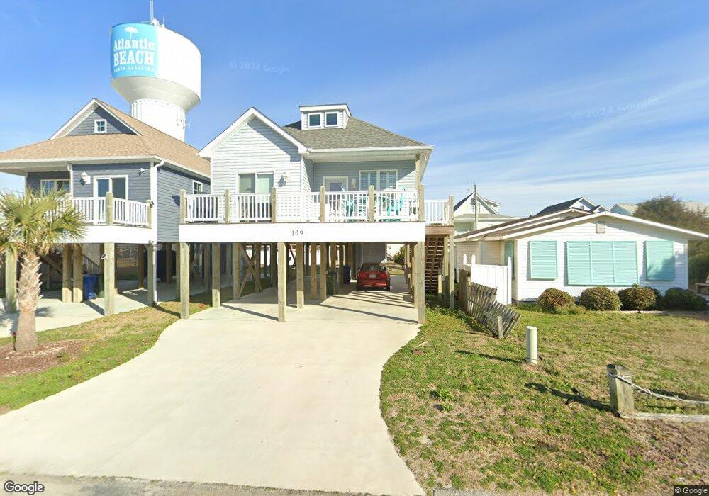
- 109 E Terminal Blvd
- 109 Terminal Blvd
- 110 E Bogue Blvd
- 108 E Bogue Blvd
- 112 E Bogue Blvd
- 108 E Terminal Blvd
- 114 E Bogue Blvd
- 110 E Terminal Blvd
- 112 E Terminal Blvd
- 116 E Bogue Blvd
- 119 E Terminal Blvd
- 114 E Terminal Blvd
- 116 E Terminal Blvd
- 118 E Bogue
- 121 E Terminal Blvd
- 118 E Terminal Blvd
- 123 E Terminal Blvd
- 207 East Dr Unit 4
- 109 E Atlantic Blvd