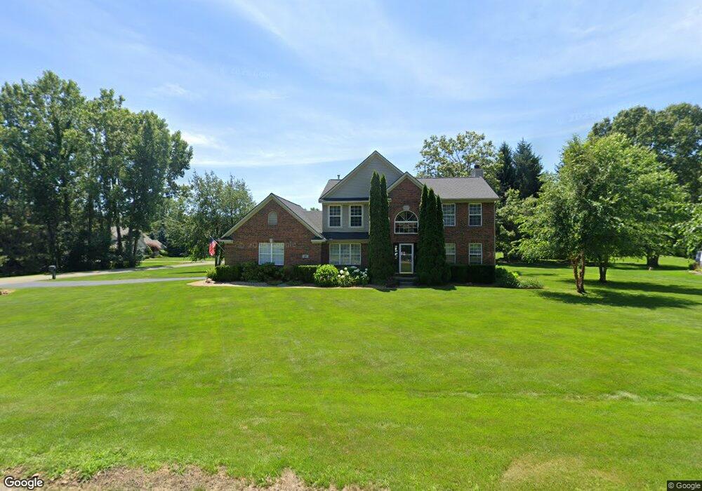
107 Howland Pines Dr Unit 7 Oxford, MI 48371
Estimated Value: $481,263 - $577,000
--
Bed
3
Baths
2,207
Sq Ft
$238/Sq Ft
Est. Value
About This Home
This home is located at 107 Howland Pines Dr Unit 7, Oxford, MI 48371 and is currently estimated at $524,316, approximately $237 per square foot. 107 Howland Pines Dr Unit 7 is a home located in Oakland County with nearby schools including Clear Lake Elementary School, Oxford Middle School, and Oxford High School.
Ownership History
Date
Name
Owned For
Owner Type
Purchase Details
Closed on
Aug 29, 2005
Sold by
Smiles Terry and Smiles Kristi A
Bought by
Arnold Matthew D and Arnold Natalie A
Current Estimated Value
Purchase Details
Closed on
Mar 17, 1998
Sold by
Select Properties Inc
Bought by
Smiles Terry
Home Financials for this Owner
Home Financials are based on the most recent Mortgage that was taken out on this home.
Original Mortgage
$178,700
Interest Rate
7.15%
Create a Home Valuation Report for This Property
The Home Valuation Report is an in-depth analysis detailing your home's value as well as a comparison with similar homes in the area
Home Values in the Area
Average Home Value in this Area
Purchase History
| Date | Buyer | Sale Price | Title Company |
|---|---|---|---|
| Arnold Matthew D | $315,000 | Metropolitan Title Company | |
| Smiles Terry | $223,400 | -- |
Source: Public Records
Mortgage History
| Date | Status | Borrower | Loan Amount |
|---|---|---|---|
| Previous Owner | Smiles Terry | $178,700 |
Source: Public Records
Tax History Compared to Growth
Tax History
| Year | Tax Paid | Tax Assessment Tax Assessment Total Assessment is a certain percentage of the fair market value that is determined by local assessors to be the total taxable value of land and additions on the property. | Land | Improvement |
|---|---|---|---|---|
| 2024 | $2,332 | $196,780 | $0 | $0 |
| 2023 | $2,225 | $180,090 | $0 | $0 |
| 2022 | $4,149 | $165,140 | $0 | $0 |
| 2021 | $3,927 | $159,880 | $0 | $0 |
| 2020 | $2,079 | $157,650 | $0 | $0 |
| 2019 | $3,811 | $154,930 | $0 | $0 |
| 2018 | $3,694 | $145,540 | $0 | $0 |
| 2017 | $3,602 | $144,970 | $0 | $0 |
| 2016 | $3,591 | $165,510 | $0 | $0 |
| 2015 | -- | $124,650 | $0 | $0 |
| 2014 | -- | $114,990 | $0 | $0 |
| 2011 | -- | $93,090 | $0 | $0 |
Source: Public Records
Map
Nearby Homes
- 4830 Stanton Rd
- 2931 Seymour Lake Rd Unit 2
- 2921 Seymour Lake Rd
- 2856 Oak Ct
- 1847 High Pointe Dr
- 160 Great Pines Dr
- 225 Great Pines Dr
- 4649 Butternut St
- 5014 Oak Hill Rd
- 1974 Sandy Shores Dr
- 5100 Oak Hill Rd
- 1904 Sandy Shores Dr
- 000 Little Lake Rd
- 4473 Wildwood Loop
- 00 Coats Rd
- 1858 Sandy Shores Dr
- 2015 Plum St
- 400 Coats Rd
- 1611 Harwood Dr
- 2060 W Drahner Rd
- 109 Howland Pines Dr
- 197 Riseman Ct
- 00 Howland Pines
- 201 Riseman Ct
- 198 Riseman Ct Unit 1
- 111 Howland Pines Dr
- 195 Riseman Ct
- 106 Howland Pines Dr
- 202 Riseman Ct Unit 19
- 196 Riseman Ct Unit 2
- 113 Howland Pines Dr
- 46 Howland Pines Dr
- 44 Howland Pines Dr
- 204 Riseman Ct
- 203 Riseman Ct
- 110 Howland Pines Dr
- 194 Riseman Ct
- 121 Howland Pines Dr
- 193 Riseman Ct Unit 4
- 206 Riseman Ct