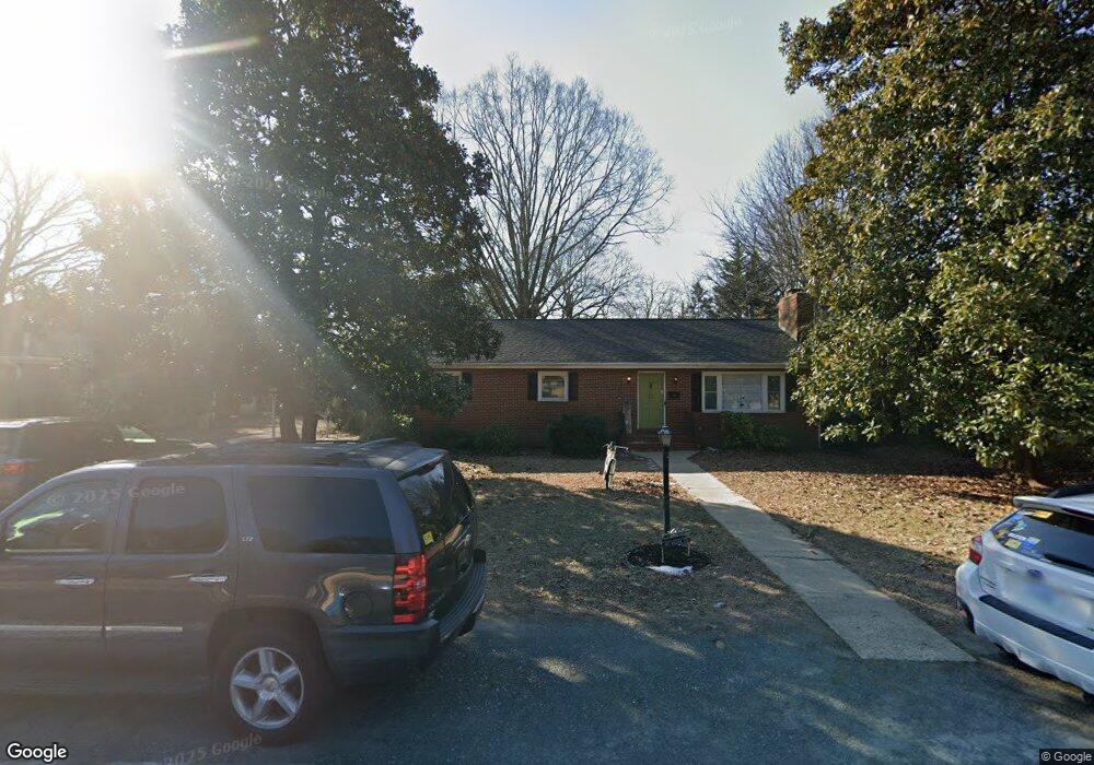
107 Macon Cir Ashland, VA 23005
Estimated Value: $351,855 - $399,000
3
Beds
2
Baths
1,580
Sq Ft
$241/Sq Ft
Est. Value
About This Home
This home is located at 107 Macon Cir, Ashland, VA 23005 and is currently estimated at $380,714, approximately $240 per square foot. 107 Macon Cir is a home located in Hanover County with nearby schools including Henry Clay Elementary School, Liberty Middle School, and Patrick Henry High School.
Ownership History
Date
Name
Owned For
Owner Type
Purchase Details
Closed on
May 26, 2010
Sold by
Pleasants Frederic
Bought by
Thorn James L
Current Estimated Value
Purchase Details
Closed on
Jan 25, 2001
Sold by
Mathews Nellie
Bought by
Pleasants Frederick
Home Financials for this Owner
Home Financials are based on the most recent Mortgage that was taken out on this home.
Original Mortgage
$90,000
Interest Rate
7.14%
Create a Home Valuation Report for This Property
The Home Valuation Report is an in-depth analysis detailing your home's value as well as a comparison with similar homes in the area
Home Values in the Area
Average Home Value in this Area
Purchase History
| Date | Buyer | Sale Price | Title Company |
|---|---|---|---|
| Thorn James L | $215,000 | -- | |
| Pleasants Frederick | $138,000 | -- |
Source: Public Records
Mortgage History
| Date | Status | Borrower | Loan Amount |
|---|---|---|---|
| Previous Owner | Pleasants Frederick | $90,000 |
Source: Public Records
Tax History
| Year | Tax Paid | Tax Assessment Tax Assessment Total Assessment is a certain percentage of the fair market value that is determined by local assessors to be the total taxable value of land and additions on the property. | Land | Improvement |
|---|---|---|---|---|
| 2025 | $2,709 | $334,400 | $97,800 | $236,600 |
| 2024 | $2,709 | $334,400 | $97,800 | $236,600 |
| 2023 | $2,334 | $303,100 | $87,800 | $215,300 |
| 2022 | $2,207 | $272,500 | $77,800 | $194,700 |
| 2021 | $2,107 | $260,100 | $77,800 | $182,300 |
| 2020 | $2,003 | $247,300 | $77,800 | $169,500 |
| 2019 | $1,895 | $234,000 | $67,700 | $166,300 |
| 2018 | $1,895 | $234,000 | $67,700 | $166,300 |
| 2017 | $1,524 | $188,100 | $58,000 | $130,100 |
| 2016 | $1,524 | $188,100 | $58,000 | $130,100 |
| 2015 | $1,524 | $188,100 | $58,000 | $130,100 |
| 2014 | $1,524 | $188,100 | $58,000 | $130,100 |
Source: Public Records
Map
Nearby Homes
- 213 Berkley St
- 302 Myrtle St Unit D
- 104 Linden St
- 709 Virginia St
- 303 N Snead St
- 0 N Snead St
- 408 John St
- 408 Wesley St
- 107 Five Oaks Ln
- 6 Courtside Ln
- Lot 73 Lauradell Rd
- 118 Lauradell Rd
- 215 Lauradell Rd
- 720 Chapman St
- 728 Chapman St
- 102 Brookneal Aly
- 10298 Jamestown Rd
- 11224 Hill Ridge Ct
- 814 Chapman St
- 12108 Grandview Hill Ct
Your Personal Tour Guide
Ask me questions while you tour the home.