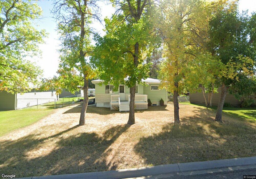
107 N Maryland St Conrad, MT 59425
Estimated Value: $108,000 - $244,000
3
Beds
3
Baths
808
Sq Ft
$241/Sq Ft
Est. Value
About This Home
This home is located at 107 N Maryland St, Conrad, MT 59425 and is currently estimated at $194,763, approximately $241 per square foot. 107 N Maryland St is a home located in Pondera County with nearby schools including Meadowlark School, Utterback Middle School (7-8), and Conrad High School.
Ownership History
Date
Name
Owned For
Owner Type
Purchase Details
Closed on
Jul 14, 2023
Sold by
Eckstein R Thomas
Bought by
Schwarz Tobias
Current Estimated Value
Home Financials for this Owner
Home Financials are based on the most recent Mortgage that was taken out on this home.
Original Mortgage
$190,000
Outstanding Balance
$177,538
Interest Rate
0.68%
Mortgage Type
Construction
Estimated Equity
$17,225
Purchase Details
Closed on
Mar 29, 2017
Sold by
Brown Daniel F and Brown Amy R
Bought by
Eckstein Thomas R
Purchase Details
Closed on
Jun 18, 1999
Bought by
Brown Daniel F and Brown Amy R
Create a Home Valuation Report for This Property
The Home Valuation Report is an in-depth analysis detailing your home's value as well as a comparison with similar homes in the area
Home Values in the Area
Average Home Value in this Area
Purchase History
| Date | Buyer | Sale Price | Title Company |
|---|---|---|---|
| Schwarz Tobias | $186,200 | Flying S Title & Escrow/Montan | |
| Eckstein Thomas R | -- | First American Title | |
| Brown Daniel F | -- | -- |
Source: Public Records
Mortgage History
| Date | Status | Borrower | Loan Amount |
|---|---|---|---|
| Open | Schwarz Tobias | $190,000 |
Source: Public Records
Tax History Compared to Growth
Tax History
| Year | Tax Paid | Tax Assessment Tax Assessment Total Assessment is a certain percentage of the fair market value that is determined by local assessors to be the total taxable value of land and additions on the property. | Land | Improvement |
|---|---|---|---|---|
| 2025 | $1,042 | $209,000 | $0 | $0 |
| 2024 | $1,736 | $180,600 | $0 | $0 |
| 2023 | $1,747 | $160,900 | $0 | $0 |
| 2022 | $1,418 | $132,900 | $0 | $0 |
| 2021 | $1,454 | $132,900 | $0 | $0 |
| 2020 | $1,647 | $133,600 | $0 | $0 |
| 2019 | $1,620 | $133,600 | $0 | $0 |
| 2018 | $1,524 | $123,400 | $0 | $0 |
| 2017 | $1,362 | $111,200 | $0 | $0 |
| 2016 | $1,253 | $103,100 | $0 | $0 |
| 2015 | $1,192 | $98,500 | $0 | $0 |
| 2014 | $642 | $31,959 | $0 | $0 |
Source: Public Records
Map
Nearby Homes
- 102 N Virginia St
- 104 N Delaware St
- 2 N Maryland St
- 1 S Delaware St
- 8 S Washington St
- 119 S Dakota St
- 310 S Maryland St
- 302 S Wisconsin St
- 20 N Montana St
- 206 S Minnesota St
- 14 S Montana St
- 708 S Virginia St
- 409 S Delaware St
- 407 S Illinois St
- 309 S Minnesota St
- 601 S Michigan St
- 603 S Michigan St
- 71 Prairie Park Ln
- 1015 Sam George Rd
- 946 Lederer Rd
- 109 N Maryland St
- 105 N Maryland St
- 113 N Maryland St
- 125 1st Ave NW
- 108 N Virginia St
- 106 N Virginia St
- 117 N Maryland St
- 112 N Maryland St
- 104 N Maryland St
- 114 N Maryland St
- 201 1st Ave NW
- 201 1st Ave SW
- 124 N Virginia St
- 124 1st Ave NW
- 120 N Maryland St
- 20 N Virginia St
- 117 2nd Ave NW
- 20 N Maryland St
- 15 N Maryland St
- 101 N Virginia St