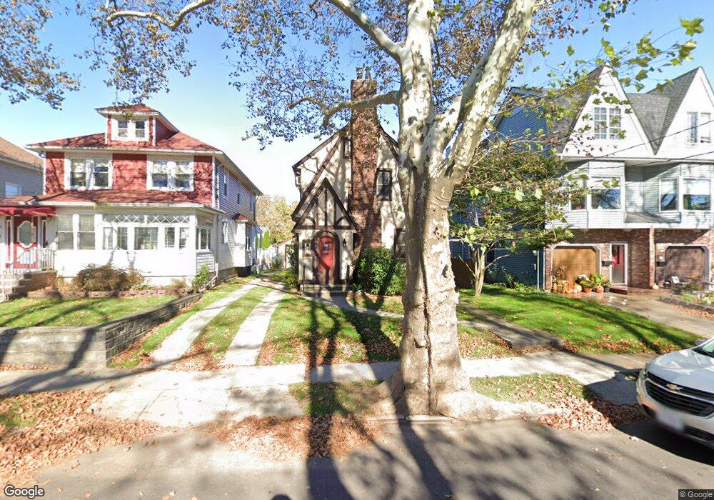
107 Otis Ave Staten Island, NY 10306
New Dorp NeighborhoodEstimated Value: $623,150 - $824,000
Studio
4
Baths
1,198
Sq Ft
$619/Sq Ft
Est. Value
About This Home
This home is located at 107 Otis Ave, Staten Island, NY 10306 and is currently estimated at $741,788, approximately $619 per square foot. 107 Otis Ave is a home located in Richmond County with nearby schools including P.S. 41 The Stephanie a Vierno School, Is 2 George L Egbert, and New Dorp High School.
Ownership History
Date
Name
Owned For
Owner Type
Purchase Details
Closed on
Nov 27, 2023
Sold by
Eleanor Hansen Family Trust
Bought by
Brandel Karen
Current Estimated Value
Purchase Details
Closed on
Oct 19, 2018
Sold by
Hansen Eleanor and The Audrey Hansen Family Trust
Bought by
Brandel Karen
Purchase Details
Closed on
Apr 20, 2016
Sold by
Hansen Eleanor and Hansen Audrey
Bought by
The Eleanor Hansen Family Trust
Purchase Details
Closed on
Dec 3, 2014
Sold by
Hansen Eleanor and Hansen Audrey
Bought by
Hansen Audrey and The Eleanor Hansen Family Trus
Create a Home Valuation Report for This Property
The Home Valuation Report is an in-depth analysis detailing your home's value as well as a comparison with similar homes in the area
Home Values in the Area
Average Home Value in this Area
Purchase History
| Date | Buyer | Sale Price | Title Company |
|---|---|---|---|
| Brandel Karen | -- | None Listed On Document | |
| Brandel Karen | -- | The Judicial Title Insurance | |
| The Eleanor Hansen Family Trust | -- | The Judicial Title Ins Agenc | |
| Hansen Audrey | -- | The Judicial Title Ins Agenc |
Source: Public Records
Tax History Compared to Growth
Tax History
| Year | Tax Paid | Tax Assessment Tax Assessment Total Assessment is a certain percentage of the fair market value that is determined by local assessors to be the total taxable value of land and additions on the property. | Land | Improvement |
|---|---|---|---|---|
| 2025 | $7,167 | $40,800 | $10,415 | $30,385 |
| 2024 | $3,583 | $40,140 | $10,028 | $30,112 |
| 2023 | $7,163 | $35,270 | $9,500 | $25,770 |
| 2022 | $6,643 | $38,520 | $11,280 | $27,240 |
| 2021 | $6,606 | $35,220 | $11,280 | $23,940 |
| 2020 | $6,645 | $37,560 | $11,280 | $26,280 |
| 2019 | $6,221 | $35,880 | $11,280 | $24,600 |
| 2018 | $2,996 | $29,392 | $9,029 | $20,363 |
| 2017 | $5,653 | $27,729 | $9,583 | $18,146 |
| 2016 | $5,230 | $26,160 | $11,280 | $14,880 |
| 2015 | $4,756 | $26,266 | $9,949 | $16,317 |
| 2014 | $4,756 | $24,780 | $10,500 | $14,280 |
Source: Public Records
Map
Nearby Homes
- 84 Bryant Ave
- 155 Burbank Ave
- 32 Otis Ave
- 168 Otis Ave
- 79 Cloister Place
- 78 Cloister Place
- 12 Altamont St
- 2390 Richmond Rd
- 86 Fremont Ave
- 257 Locust Ave
- 240 Otis Ave
- 109 Saint Stephens Place
- 142 Fremont Ave
- 2419 Richmond Rd
- 2136 Richmond Rd
- 217 Bancroft Ave
- 35 4 St
- 25 Lincoln Ave
- 100 Colfax Ave Unit 3J
- 100 Colfax Ave Unit 6H
- 109 Otis Ave
- 111 Otis Ave
- 105 Otis Ave
- 1279 N Railroad Ave
- 1283 N Railroad Ave
- 1277 N Railroad Ave
- 1275 N Railroad Ave
- 101 Otis Ave
- 106 Otis Ave
- 1273 N Railroad Ave
- 108 Otis Ave
- 112 Otis Ave
- 104 Otis Ave
- 1271 N Railroad Ave
- 1271 N Railroad Ave Unit 2
- 1301 N Railroad Ave
- 138 Kruser St
- 99 Otis Ave
- 102 Otis Ave
- 1269 N Railroad Ave