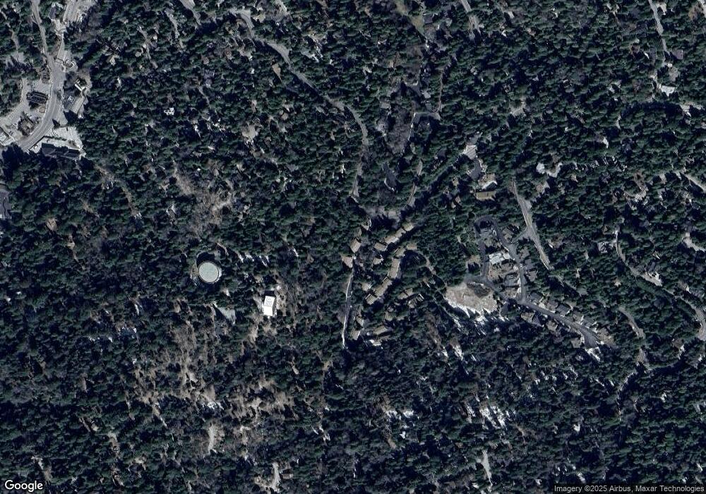
107 Rockledge Ln Unit 107 Lake Arrowhead, CA 92352
Estimated Value: $324,000 - $476,548
4
Beds
2
Baths
1,500
Sq Ft
$288/Sq Ft
Est. Value
About This Home
This home is located at 107 Rockledge Ln Unit 107, Lake Arrowhead, CA 92352 and is currently estimated at $431,887, approximately $287 per square foot. 107 Rockledge Ln Unit 107 is a home located in San Bernardino County with nearby schools including Lake Arrowhead Elementary School, Mary P. Henck Intermediate School, and Rim Of The World Senior High School.
Ownership History
Date
Name
Owned For
Owner Type
Purchase Details
Closed on
Apr 6, 2010
Sold by
Wiegand Robert S and Wiegand Christine N
Bought by
Erickson Anthony and Erickson Antoinette K
Current Estimated Value
Home Financials for this Owner
Home Financials are based on the most recent Mortgage that was taken out on this home.
Original Mortgage
$95,000
Outstanding Balance
$63,116
Interest Rate
4.95%
Mortgage Type
Seller Take Back
Estimated Equity
$368,771
Purchase Details
Closed on
Dec 7, 2004
Sold by
Wiegand Robert S and Wiegand Christine N
Bought by
Wiegand Robert S and Wiegand Christine N
Purchase Details
Closed on
Jun 9, 2003
Sold by
Weigand Robert S and Wiegand Christine N
Bought by
Weigand Robert S and Wiegand Christine N
Purchase Details
Closed on
Nov 1, 2002
Sold by
Eletel Rachid and Eletel Angele Nasri
Bought by
Wiegand Robert S and Wiegand Christine
Purchase Details
Closed on
Apr 20, 2000
Sold by
Cullinan Edward M
Bought by
Eletel Rachid and Eletel Angele Nasri
Home Financials for this Owner
Home Financials are based on the most recent Mortgage that was taken out on this home.
Original Mortgage
$92,000
Interest Rate
8.22%
Purchase Details
Closed on
Aug 6, 1996
Sold by
Cullinan Edward M
Bought by
Cullinan Edward M and Scott Judith M
Home Financials for this Owner
Home Financials are based on the most recent Mortgage that was taken out on this home.
Original Mortgage
$86,400
Interest Rate
4%
Purchase Details
Closed on
Jun 27, 1996
Sold by
Szmudanowski David
Bought by
Scott Judith M
Home Financials for this Owner
Home Financials are based on the most recent Mortgage that was taken out on this home.
Original Mortgage
$86,400
Interest Rate
4%
Purchase Details
Closed on
Jun 21, 1996
Sold by
Donvito Larry F and Donvito Sydne M
Bought by
Cullinan Edward M
Home Financials for this Owner
Home Financials are based on the most recent Mortgage that was taken out on this home.
Original Mortgage
$86,400
Interest Rate
4%
Create a Home Valuation Report for This Property
The Home Valuation Report is an in-depth analysis detailing your home's value as well as a comparison with similar homes in the area
Home Values in the Area
Average Home Value in this Area
Purchase History
| Date | Buyer | Sale Price | Title Company |
|---|---|---|---|
| Erickson Anthony | $185,000 | Lawyers Title Company | |
| Wiegand Robert S | -- | -- | |
| Wiegand Robert S | -- | -- | |
| Weigand Robert S | -- | -- | |
| Wiegand Robert S | $173,000 | Fidelity National Title | |
| Eletel Rachid | $115,000 | Commonwealth Land Title Co | |
| Cullinan Edward M | -- | -- | |
| Scott Judith M | -- | -- | |
| Cullinan Edward M | $108,000 | First American Title Ins Co |
Source: Public Records
Mortgage History
| Date | Status | Borrower | Loan Amount |
|---|---|---|---|
| Open | Erickson Anthony | $95,000 | |
| Previous Owner | Eletel Rachid | $92,000 | |
| Previous Owner | Cullinan Edward M | $86,400 |
Source: Public Records
Tax History Compared to Growth
Tax History
| Year | Tax Paid | Tax Assessment Tax Assessment Total Assessment is a certain percentage of the fair market value that is determined by local assessors to be the total taxable value of land and additions on the property. | Land | Improvement |
|---|---|---|---|---|
| 2025 | $2,672 | $238,805 | $28,656 | $210,149 |
| 2024 | $2,672 | $234,122 | $28,094 | $206,028 |
| 2023 | $2,642 | $229,531 | $27,543 | $201,988 |
| 2022 | $2,587 | $225,030 | $27,003 | $198,027 |
| 2021 | $2,555 | $220,618 | $26,474 | $194,144 |
| 2020 | $2,552 | $218,356 | $26,203 | $192,153 |
| 2019 | $2,488 | $214,074 | $25,689 | $188,385 |
| 2018 | $2,267 | $209,876 | $25,185 | $184,691 |
| 2017 | $2,224 | $205,761 | $24,691 | $181,070 |
| 2016 | $2,178 | $201,727 | $24,207 | $177,520 |
| 2015 | $2,153 | $198,696 | $23,843 | $174,853 |
| 2014 | $2,111 | $194,804 | $23,376 | $171,428 |
Source: Public Records
Map
Nearby Homes
- 103 Rockledge Ln
- 142 Rockledge Ln
- 316 Canyon Crest Ln
- 384 Primrose Cir
- 343 Garden Dr
- 533 Sunderland Ct
- 28449 Fresh Spring Ln
- 28476 Fresh Spring Ln
- 445 Clearwater Ln
- 375 Kuffel Canyon Rd
- 535 Sunderland Ct
- 455 Clearwater Ln
- 0 Sunderland Ct
- 501 Wellsley Dr
- 262 S State Highway 173
- 256 B Ln
- 561 Dover Ct
- 544 Community Dr
- 365 Mittry Ln
- 207 Blue Lake Rd
- 105 Rockledge Ln
- 109 Rockledge Ln Unit 5
- 109 Rockledge Ln
- 111 Rockledge Ln
- 354 State Highway 173
- 306 State Highway 173
- 261 State Highway 173
- 101 Rockledge Ln
- 110 Rockledge Ln
- 208 Cool Creek Ln
- 201 Coolcreek Ln
- 205 Cool Creek Ln
- 202 Cool Creek Unit 16
- 207 Coolcreek Ln
- 221 State Highway 173
- 202 Coolcreek Ln Unit 16
- 202 Cool Creek Ln Unit 16
- 206 Cool Creek Unit 18
- 206 Cool Creek Ln Unit 18
- 209 Coolcreek Ln
