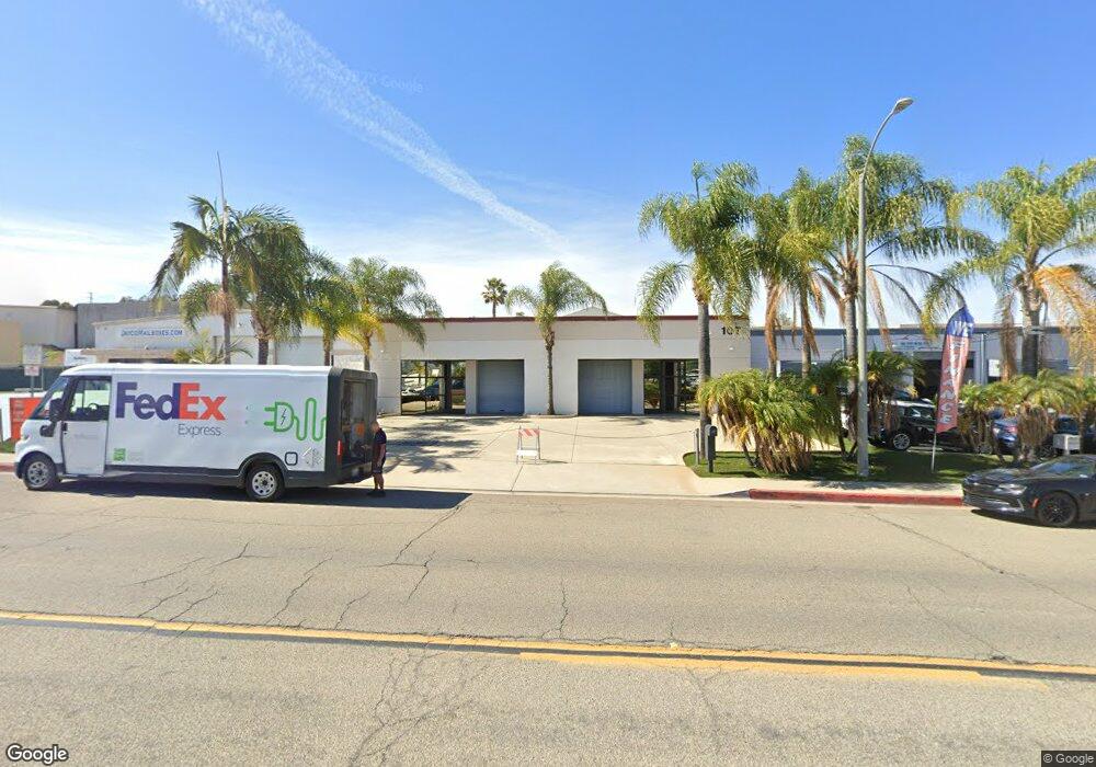
107 S Andreasen Dr Escondido, CA 92029
Vineyard Neighborhood
--
Bed
--
Bath
4,036
Sq Ft
8,189
Sq Ft Lot
About This Home
This home is located at 107 S Andreasen Dr, Escondido, CA 92029. 107 S Andreasen Dr is a home located in San Diego County with nearby schools including Rock Springs Elementary School, Rincon Middle School, and Escondido High School.
Ownership History
Date
Name
Owned For
Owner Type
Purchase Details
Closed on
Oct 8, 2014
Sold by
Stasch Garry Norman and Stasch Robin Angela
Bought by
Criscat Enterprises Inc
Purchase Details
Closed on
Dec 1, 2000
Sold by
Jessup Charles M & Alice J Family Trust
Bought by
Stasch Garry Norman and Stasch Robin Angela
Home Financials for this Owner
Home Financials are based on the most recent Mortgage that was taken out on this home.
Original Mortgage
$300,000
Interest Rate
7.66%
Mortgage Type
Seller Take Back
Purchase Details
Closed on
Mar 20, 1985
Create a Home Valuation Report for This Property
The Home Valuation Report is an in-depth analysis detailing your home's value as well as a comparison with similar homes in the area
Home Values in the Area
Average Home Value in this Area
Purchase History
| Date | Buyer | Sale Price | Title Company |
|---|---|---|---|
| Criscat Enterprises Inc | $565,000 | Chicago Title Company | |
| Stasch Garry Norman | $350,000 | Chicago Title Co | |
| -- | $208,500 | -- |
Source: Public Records
Mortgage History
| Date | Status | Borrower | Loan Amount |
|---|---|---|---|
| Previous Owner | Stasch Garry Norman | $300,000 |
Source: Public Records
Tax History Compared to Growth
Tax History
| Year | Tax Paid | Tax Assessment Tax Assessment Total Assessment is a certain percentage of the fair market value that is determined by local assessors to be the total taxable value of land and additions on the property. | Land | Improvement |
|---|---|---|---|---|
| 2025 | $7,614 | $679,037 | $360,551 | $318,486 |
| 2024 | $7,614 | $665,724 | $353,482 | $312,242 |
| 2023 | $7,443 | $652,671 | $346,551 | $306,120 |
| 2022 | $7,364 | $639,874 | $339,756 | $300,118 |
| 2021 | $7,245 | $627,329 | $333,095 | $294,234 |
| 2020 | $7,203 | $620,897 | $329,680 | $291,217 |
| 2019 | $7,029 | $608,723 | $323,216 | $285,507 |
| 2018 | $6,835 | $596,788 | $316,879 | $279,909 |
| 2017 | $6,725 | $585,087 | $310,666 | $274,421 |
| 2016 | $6,598 | $573,616 | $304,575 | $269,041 |
| 2015 | $6,543 | $565,000 | $300,000 | $265,000 |
| 2014 | $4,876 | $430,215 | $110,623 | $319,592 |
Source: Public Records
Map
Nearby Homes
- 955 Howard Ave Unit 40
- 1007 Howard Ave Unit 42
- 1001 S Hale Ave Unit 13
- 1045 Howard Ave
- 1401 Corte Rapallo
- 1110 Gaucho Place
- 1225 Lancer Glen
- 1575 W Valley Pkwy Unit 25
- 962 Chardonney Way
- 1365 Oak View Way
- 672 Chateau Place
- 899 Corte Merano
- 1051 Rock Springs Rd Unit 241
- 1051 Rock Springs Rd Unit 137
- 762 Hillsboro Way
- 1020 Crystal Springs Place
- 2432 Live Oak Rd
- 1501 Corte Capriana
- 0 Kauana Loa Dr Unit 15 250034201
- 0 Kauana Loa Dr Unit 17 250034204
- 232 N Vinewood St Unit A & B
- 115 N Engel St
- 252 N Vinewood St
- 2040 Auto Park Way
- 324 N Vinewood St
- 235 Engel St
- 320 Market Place
- 116 Market Place
- 225 Market Place
- 115 Market Place
- 0000 Auto Park Way
- 0000 Howard Ave
- 520 N Andreasen Dr
- 1220 Industrial Ave
- 1155 Industrial Ave
- 1313 Simpson Way
- 748 S Vinewood St Unit B
- 748 S Vinewood St Unit C
- 518 Venture St
- 643 Superior St