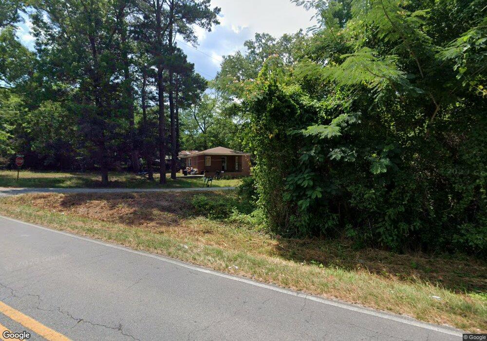
107 Shirley Dr Macon, GA 31211
Estimated Value: $143,000 - $193,000
--
Bed
--
Bath
1,075
Sq Ft
$151/Sq Ft
Est. Value
About This Home
This home is located at 107 Shirley Dr, Macon, GA 31211 and is currently estimated at $162,650, approximately $151 per square foot. 107 Shirley Dr is a home with nearby schools including Martin Luther King Jr. Elementary School, Appling Middle School, and Northeast High School.
Ownership History
Date
Name
Owned For
Owner Type
Purchase Details
Closed on
Aug 25, 2025
Sold by
Fort Properties Llc
Bought by
New Clinton Holdings Llc
Current Estimated Value
Purchase Details
Closed on
Oct 19, 2018
Sold by
Holli Buys Houses Llc
Bought by
Fort Properties Llc
Home Financials for this Owner
Home Financials are based on the most recent Mortgage that was taken out on this home.
Original Mortgage
$120,692
Interest Rate
4.6%
Mortgage Type
New Conventional
Purchase Details
Closed on
May 31, 2000
Sold by
Clay Bowie
Bought by
Coleman Properties
Create a Home Valuation Report for This Property
The Home Valuation Report is an in-depth analysis detailing your home's value as well as a comparison with similar homes in the area
Home Values in the Area
Average Home Value in this Area
Purchase History
| Date | Buyer | Sale Price | Title Company |
|---|---|---|---|
| New Clinton Holdings Llc | -- | -- | |
| New Clinton Holdings Llc | -- | -- | |
| Fort Properties Llc | $115,000 | -- | |
| Holli Buys Houses Llc | $88,000 | -- | |
| Coleman Properties | $85,000 | -- |
Source: Public Records
Mortgage History
| Date | Status | Borrower | Loan Amount |
|---|---|---|---|
| Previous Owner | Fort Properties Llc | $120,692 |
Source: Public Records
Tax History Compared to Growth
Tax History
| Year | Tax Paid | Tax Assessment Tax Assessment Total Assessment is a certain percentage of the fair market value that is determined by local assessors to be the total taxable value of land and additions on the property. | Land | Improvement |
|---|---|---|---|---|
| 2024 | $1,979 | $55,701 | $6,348 | $49,353 |
| 2023 | $1,716 | $47,779 | $6,348 | $41,431 |
| 2022 | $1,716 | $47,779 | $6,348 | $41,431 |
| 2021 | $1,718 | $47,779 | $6,348 | $41,431 |
| 2020 | $1,719 | $47,779 | $6,348 | $41,431 |
| 2019 | $1,655 | $47,779 | $6,348 | $41,431 |
| 2018 | $1,719 | $47,779 | $6,348 | $41,431 |
| 2017 | $1,719 | $47,779 | $6,348 | $41,431 |
| 2016 | $1,719 | $47,779 | $6,348 | $41,431 |
| 2015 | $1,626 | $47,779 | $6,348 | $41,431 |
| 2014 | -- | $47,779 | $6,348 | $41,431 |
Source: Public Records
Map
Nearby Homes
- 131 Sun Valley Dr
- 135 Sun Valley Dr
- 240 Neptune Ct
- 2815 New Clinton Rd
- 687 Jasmine Dr
- 699 Jasmine Dr
- 699 Jasmine Dr Unit C48
- 3154 Bethune Ave
- 2792 Skyline Dr
- Birch Plan at Clifton Ridge
- Lane Plan at Clifton Ridge
- Benton Plan at Clifton Ridge
- Duke Plan at Clifton Ridge
- Brooke Plan at Clifton Ridge
- Delilah Plan at Clifton Ridge
- 2630 Pauladale Dr
- 3128 Commodore Dr
- 118 Oakwood Dr
- 0 Shady Rd
- 2557 Hyde Park Rd
- 2871 New Clinton Rd
- 114 Sun Valley Dr
- 116 Sun Valley Dr
- 106 Sun Valley Dr
- 106-108 Sun Valley Dr
- 110 Sun Valley Dr
- 120 Sun Valley Dr
- 102 Sun Valley Dr
- 2870 New Clinton Rd
- 122 Sun Valley Dr
- 117 Shirley Dr
- 2872 New Clinton Rd
- 100 Adahi Dr
- 126 Sun Valley Dr
- 115 Sun Valley Dr
- 3 Alton Rd
- 104 Adahi Dr
- 109 Sun Valley Dr
- 106 Alton Rd
- 0 Sun Valley Dr Unit 20033351