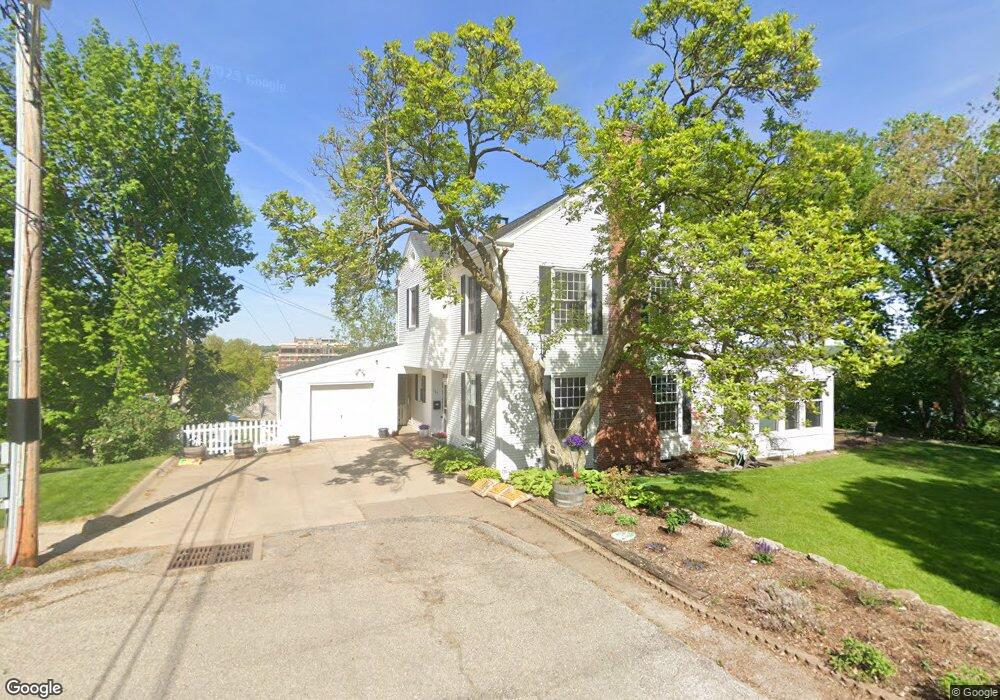
107 Spruce St Muscatine, IA 52761
Estimated Value: $188,000 - $303,451
5
Beds
4
Baths
2,500
Sq Ft
$101/Sq Ft
Est. Value
About This Home
This home is located at 107 Spruce St, Muscatine, IA 52761 and is currently estimated at $253,613, approximately $101 per square foot. 107 Spruce St is a home located in Muscatine County with nearby schools including McKinley Elementary School, Susan Clark Junior High School, and Muscatine High School.
Ownership History
Date
Name
Owned For
Owner Type
Purchase Details
Closed on
Jun 7, 2011
Sold by
Ravera Michael A and Ravera Heather A
Bought by
Meloy David J and Meloy Ruthanne
Current Estimated Value
Purchase Details
Closed on
Jun 10, 2005
Sold by
Roeth Bradley W and Roeth Rachel L
Bought by
Meloy David J and Meloy Ruthanne
Home Financials for this Owner
Home Financials are based on the most recent Mortgage that was taken out on this home.
Original Mortgage
$80,000
Interest Rate
5.46%
Mortgage Type
New Conventional
Create a Home Valuation Report for This Property
The Home Valuation Report is an in-depth analysis detailing your home's value as well as a comparison with similar homes in the area
Home Values in the Area
Average Home Value in this Area
Purchase History
| Date | Buyer | Sale Price | Title Company |
|---|---|---|---|
| Meloy David J | $5,000 | None Available | |
| Meloy David J | $209,500 | None Available |
Source: Public Records
Mortgage History
| Date | Status | Borrower | Loan Amount |
|---|---|---|---|
| Previous Owner | Meloy David J | $80,000 |
Source: Public Records
Tax History Compared to Growth
Tax History
| Year | Tax Paid | Tax Assessment Tax Assessment Total Assessment is a certain percentage of the fair market value that is determined by local assessors to be the total taxable value of land and additions on the property. | Land | Improvement |
|---|---|---|---|---|
| 2025 | $4,124 | $251,690 | $45,020 | $206,670 |
| 2024 | $4,124 | $251,360 | $45,020 | $206,340 |
| 2023 | $4,044 | $249,778 | $45,050 | $204,728 |
| 2022 | $3,352 | $197,740 | $42,500 | $155,240 |
| 2021 | $3,352 | $173,220 | $42,630 | $130,590 |
| 2020 | $3,828 | $169,190 | $38,600 | $130,590 |
| 2019 | $3,906 | $185,350 | $0 | $0 |
| 2018 | $3,850 | $185,350 | $0 | $0 |
| 2017 | $3,850 | $195,830 | $0 | $0 |
| 2016 | $4,232 | $195,830 | $0 | $0 |
| 2015 | $4,232 | $188,790 | $0 | $0 |
| 2014 | $4,100 | $188,790 | $0 | $0 |
Source: Public Records
Map
Nearby Homes
- 506 W 2nd St
- 315 W 3rd St
- 213 W 3rd St
- 701 W 3rd St
- 126 W 2nd St
- 410 Spruce St
- 809 W 2nd St
- 613 W 5th St
- 511 W 6th St
- 600 Pine St
- 511 W 7th St
- 215 W 7th St
- 509 Sycamore St
- G44X Parcel
- 106 E 8th St
- LOT 75 Briman Prairie
- LOT 72 Briman Prairie
- 0 Parcel 1302108019 (Busch St)
- 110 Van Horne St
- 1603 Lucas St