107 Whitney Brook Rd Elkins, NH 03233
Estimated Value: $608,587 - $900,000
3
Beds
3
Baths
2,917
Sq Ft
$258/Sq Ft
Est. Value
About This Home
This home is located at 107 Whitney Brook Rd, Elkins, NH 03233 and is currently estimated at $753,897, approximately $258 per square foot. 107 Whitney Brook Rd is a home with nearby schools including Kearsarge Elementary School - New London, Kearsarge Regional Middle School, and Kearsarge Regional High School.
Ownership History
Date
Name
Owned For
Owner Type
Purchase Details
Closed on
May 4, 2001
Sold by
Brenner Gary S and Brenner Linda M
Bought by
Kloeppel K Richard K and Kloeppel Elizabeth
Current Estimated Value
Home Financials for this Owner
Home Financials are based on the most recent Mortgage that was taken out on this home.
Original Mortgage
$192,000
Outstanding Balance
$73,271
Interest Rate
6.85%
Mortgage Type
Purchase Money Mortgage
Estimated Equity
$680,626
Create a Home Valuation Report for This Property
The Home Valuation Report is an in-depth analysis detailing your home's value as well as a comparison with similar homes in the area
Home Values in the Area
Average Home Value in this Area
Purchase History
| Date | Buyer | Sale Price | Title Company |
|---|---|---|---|
| Kloeppel K Richard K | $250,000 | -- |
Source: Public Records
Mortgage History
| Date | Status | Borrower | Loan Amount |
|---|---|---|---|
| Open | Kloeppel K Richard K | $192,000 | |
| Closed | Kloeppel K Richard K | $192,000 |
Source: Public Records
Tax History Compared to Growth
Tax History
| Year | Tax Paid | Tax Assessment Tax Assessment Total Assessment is a certain percentage of the fair market value that is determined by local assessors to be the total taxable value of land and additions on the property. | Land | Improvement |
|---|---|---|---|---|
| 2024 | $5,677 | $489,000 | $153,600 | $335,400 |
| 2023 | $5,286 | $489,000 | $153,600 | $335,400 |
| 2022 | $5,172 | $326,100 | $82,000 | $244,100 |
| 2021 | $5,019 | $326,100 | $82,000 | $244,100 |
| 2020 | $4,393 | $322,400 | $82,000 | $240,400 |
| 2019 | $4,743 | $322,400 | $82,000 | $240,400 |
| 2018 | $4,451 | $283,300 | $82,600 | $200,700 |
| 2017 | $4,536 | $283,300 | $82,600 | $200,700 |
| 2016 | $4,439 | $283,300 | $82,600 | $200,700 |
| 2015 | $4,377 | $283,300 | $82,600 | $200,700 |
| 2014 | $4,337 | $283,300 | $82,600 | $200,700 |
| 2013 | -- | $283,400 | $82,600 | $200,800 |
Source: Public Records
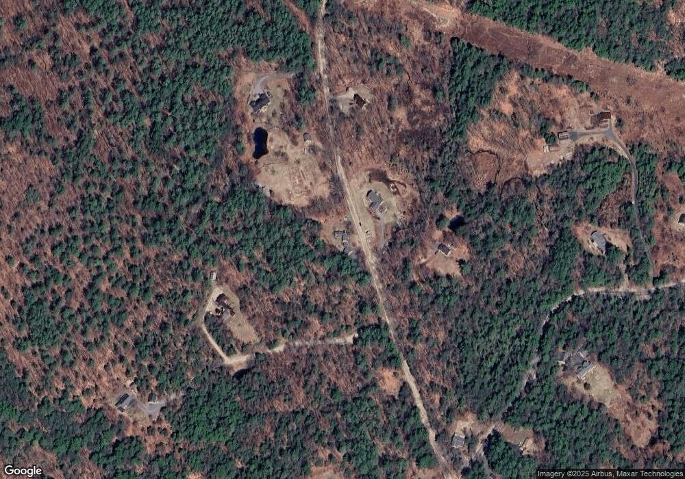
Map
Nearby Homes
- 0 Quiet Cove Way Unit 5
- Lot 16 Granite Hill Rd
- 24 Mountain Overlook
- 49 Pedrick Rd
- 58 Kearsarge Rd
- Lot 8 Stone Bridge Rd
- 000 Shaker Rd Unit 288
- 155 Wilder Ln
- 133 Nh Route 4a
- 62 Patterson Rd
- 295 Andover Rd
- 385 Seamans Rd
- 221 Campground Rd
- 0 Fairway Ln Unit 8
- 27 Pipers Glen
- 303 Route 4a
- 712 Sugarhouse Rd
- 158 Quail Run
- 65 Barrett Rd
- 163 Quaker Path Rd
- 104 Whitney Brook Rd
- 77 Whitney Brook Rd
- 90 Whitney Brook Rd
- 181 Whitney Brook Rd
- 256 Whitney Brook Rd
- 170 Whitney Brook Rd
- 181 Whitney Brook Rd
- 0 Whitney Brook Rd Unit 4139420
- 0 Whitney Brook Rd
- 349 Wilmot Center Rd
- 335 Wilmot Center Rd
- 606 Wilmot Center
- 75 Wilmot Center Rd
- 77 Wilmot Center Rd
- 189 Wilmot Center Rd
- 505 Wilmot Center Rd
- 151 Wilmot Center Rd
- 17 Wilmot Center Rd
- 17 Wilmot Center Rd
- 375 Wilmot Center Rd