Estimated Value: $269,000 - $451,000
3
Beds
2
Baths
1,797
Sq Ft
$224/Sq Ft
Est. Value
About This Home
This home is located at 107 Winslow Rd, Weare, NH 03281 and is currently estimated at $402,287, approximately $223 per square foot. 107 Winslow Rd is a home with nearby schools including Center Woods Elementary School, Weare Middle School, and John Stark Regional High School.
Ownership History
Date
Name
Owned For
Owner Type
Purchase Details
Closed on
Sep 1, 2006
Sold by
Cartus Financial Corp
Bought by
Crosby Michael B
Current Estimated Value
Home Financials for this Owner
Home Financials are based on the most recent Mortgage that was taken out on this home.
Original Mortgage
$193,600
Interest Rate
6.83%
Purchase Details
Closed on
Mar 16, 2004
Sold by
Hawkes Jason K and Hawkes Heidi J
Bought by
Kuebler Lawrence F and Kuebler Jamie L
Home Financials for this Owner
Home Financials are based on the most recent Mortgage that was taken out on this home.
Original Mortgage
$211,627
Interest Rate
5.67%
Mortgage Type
Purchase Money Mortgage
Purchase Details
Closed on
Dec 20, 1996
Sold by
Krysnor Homes Inc
Bought by
Hawkes Jason Kk and Hawkes Heidi J
Create a Home Valuation Report for This Property
The Home Valuation Report is an in-depth analysis detailing your home's value as well as a comparison with similar homes in the area
Home Values in the Area
Average Home Value in this Area
Purchase History
| Date | Buyer | Sale Price | Title Company |
|---|---|---|---|
| Crosby Michael B | $242,000 | -- | |
| Cartus Financial Corp | $242,000 | -- | |
| Kuebler Lawrence F | $214,900 | -- | |
| Hawkes Jason Kk | $82,400 | -- |
Source: Public Records
Mortgage History
| Date | Status | Borrower | Loan Amount |
|---|---|---|---|
| Open | Hawkes Jason Kk | $220,003 | |
| Closed | Hawkes Jason Kk | $224,873 | |
| Closed | Hawkes Jason Kk | $193,600 | |
| Previous Owner | Hawkes Jason Kk | $211,627 |
Source: Public Records
Tax History Compared to Growth
Tax History
| Year | Tax Paid | Tax Assessment Tax Assessment Total Assessment is a certain percentage of the fair market value that is determined by local assessors to be the total taxable value of land and additions on the property. | Land | Improvement |
|---|---|---|---|---|
| 2024 | $5,587 | $274,000 | $78,300 | $195,700 |
| 2023 | $5,162 | $274,000 | $78,300 | $195,700 |
| 2022 | $4,715 | $271,000 | $78,300 | $192,700 |
| 2021 | $4,661 | $271,000 | $78,300 | $192,700 |
| 2020 | $4,639 | $193,700 | $63,200 | $130,500 |
| 2019 | $4,593 | $193,700 | $63,200 | $130,500 |
| 2018 | $4,461 | $193,700 | $63,200 | $130,500 |
| 2016 | $4,333 | $193,700 | $63,200 | $130,500 |
| 2015 | $4,128 | $184,200 | $56,400 | $127,800 |
| 2014 | $4,091 | $184,200 | $56,400 | $127,800 |
| 2013 | $3,985 | $183,200 | $56,400 | $126,800 |
Source: Public Records
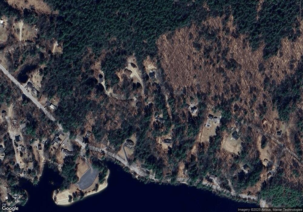
Map
Nearby Homes
- 101-125 Winslow Rd
- 108 E Shore Dr
- 62 Collins Landing Rd Unit 46
- 107 Branch Rd
- 233 N Stark Hwy
- 92 Woodbury Rd
- 463 Craney Hill Rd
- 30 Dels Way
- 11 White Birch Rd
- 281 Hodgdon Rd
- 586 C-4 Craney Hill Rd
- Lot 13 E Deering Rd
- 194 Buckley Rd Unit 2
- 194 Buckley Rd Unit 44
- 10 Sap House Rd
- 302 Flanders Rd
- 149 Bear Hill Rd
- 9 Reservoir Rd
- 7-351-B Patterson Hill Rd
- 540-X9-A Route 114
- 111 Winslow Rd
- 101 Winslow Rd
- 101 Winslow Rd Unit Map 101 Lot 127
- 101 Winslow Rd Unit Map 101 Lot 125
- 98 Winslow Rd
- 99 Winslow Rd
- 108 Winslow Rd Unit 2
- 108 Winslow Rd
- 334 Reservoir Dr
- 93 Winslow Rd
- 124 Winslow Rd
- 0 Winslow Rd
- 115.1 Winslow Rd
- 122 Winslow Rd
- 342 Reservoir Dr
- 326 Reservoir Dr
- 308 Reservoir Dr
- 77 Winslow Rd
- 312 Reservoir Dr
- 73 Winslow Rd